Hello Friends,
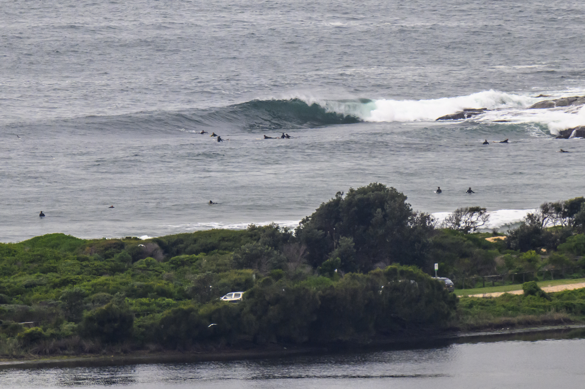
Thanks to an increase in the average period over the last 24 hours, we had a few small waves along the Dee Why stretch for the early. As today’s picture shows, it wasn’t exactly big, but it was sunny and glassy and kind of fun looking. The Sydney MHL buoy was reporting about 1.5 metres of south swell with an average period of around 9 seconds. That should mean that south swell spots will have offer knee to waist high plus waves before the high tide swamps things later this morning. Wind is light and offshore as I tap this out. The Bureau says it’ll go around to the northern quarters and possibly be NE-NW this afternoon when the tide drops back again.
Have yourself a top old Friday and keep on smilin’ through!
Tides: H @1010, L @1630
Weather Situation
A slow-moving high pressure system lies over the northern Tasman Sea. Tonight or early Saturday a cold front will move over the southwestern Tasman Sea bringing a brief southerly change to New South along south coast. Another weak southerly change is expected to develop on the south coast early Sunday.
Forecast for Friday until midnight
- Winds
- West to southwesterly 10 to 20 knots becoming westerly 10 to 15 knots during the morning then tending northeast to northwesterly around midday.
- Seas
- Up to 1.5 metres.
- Swell
- Southerly 1 metre.
Saturday 17 September
- Winds
- Northwesterly 5 to 15 knots, although northeasterly inshore during the afternoon.
- Seas
- Below 1 metre.
- Swell
- Southerly about 1 metre.
Sunday 18 September
- Winds
-
Northwesterly 15 to 20 knots tending southwesterly during the morning then tending south to southeasterly during the afternoon. Winds tending east to southeasterly up to 20 knots during the evening.
- Seas
-
Up to 2 metres.
- Swell
-
Southerly about 1.5 metres.

