Hello Friends,
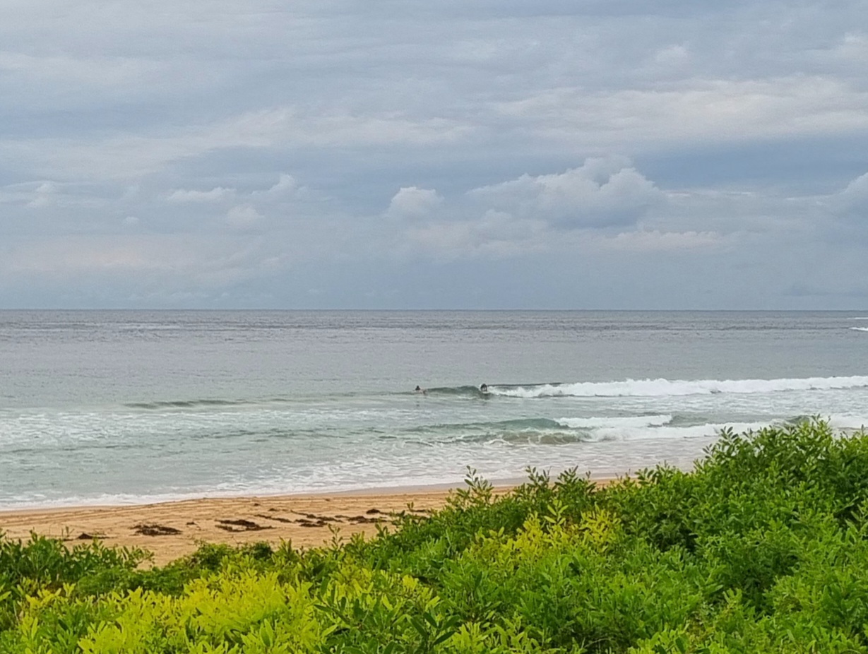
Not the most inviting morning for a surf in Sydney. After a wild, windy and rainy night, it’s settled down a little. Rain continues, though not quite as heavily, and the wind is coming from the SE at 25-35 kts. The swell is dead south at about 2.5 metres on average, but the average period has slumped to 8 seconds. As a consequence, not much energy is getting into the protected corners.
This morning’s forecast from the BoM brings now particular joy. We’re not likely to get away from the southerlies until midweek – when it looks like it might swing to SE winds. Blergh.
Have yourself a good Sunday and may your team win tonight!
Weather Situation
A low pressure system will deepen off the north coast today and should move rapidly away to the northeast later. Behind this system, a high is expected to move towards Tasmania extending a ridge across southeast Australia, with another inland trough entering the far west of the state later in the week.
Forecast for Sunday until midnight
Winds
South to southeasterly 25 to 30 knots.
Seas
2 to 3 metres.
Swell
Southeasterly about 1 metre increasing to about 2 metres this afternoon and evening.
Weather
Isolated thunderstorms this morning and afternoon. Large swells breaking dangerously close inshore.
Monday 3 October
Winds
Southerly 20 to 30 knots decreasing to 20 to 25 knots around dawn.
Seas
Up to 3 metres decreasing to 1.5 metres during the afternoon.
Swell
Southeasterly 2 metres.
Weather
Large swells breaking dangerously close inshore.
Tuesday 4 October
Winds
Southerly 15 to 20 knots decreasing to 10 to 15 knots during the evening.
Seas
Up to 2 metres.
Swell
Southeasterly about 2 metres.

