Hello Friends,
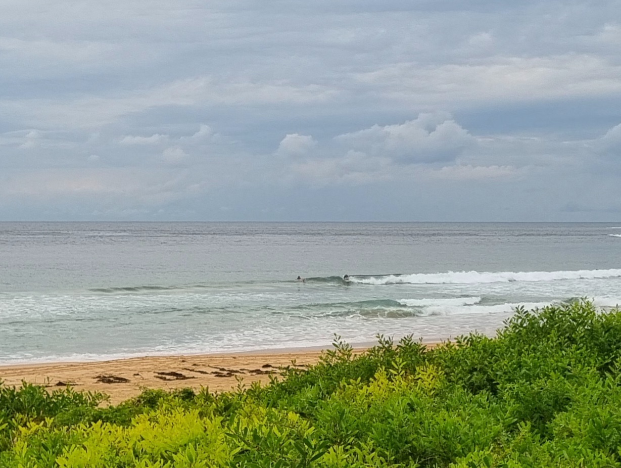
Grey skies and only light breezes around this morning. The long slow decline of the SE swell continues. There were fewer people in the water at Dee Why as a result. The point was empty and the only keen punters were on that peak north of the club. After a long wait, I finally got a picture of someone on a wave. It was a brief affair, but glassy and kinda fun looking in a quiet sort of way.
We’re in for a cloudy morning with the odd shower or two. Swell is luffing along at around 1.5 metres with an average period of 9 seconds. So you should be able to find a little something at exposed stretches if you’re extra keen.
This morning’s run of the swell forecast models suggests we’ll have a little something through tomorrow, but next week’s not looking all that encouraging from here.
Go well with your Friday!
TIDES: L @1040 and H @1700
Weather Situation
A weak ridge lies over the western Tasman Sea, while a trough over NSW is moving gradually eastwards over the next day or two, moving into the Tasman Sea on Saturday. A southerly change is likely to affect the south and central coast on Sunday and the north coast on Monday.
Forecast for Friday until midnight
- Winds
- Easterly 10 to 20 knots decreasing to 10 to 15 knots around midday then decreasing to 10 knots later in the evening.
- Seas
- Up to 1.5 metres.
- Swell
- Southeasterly about 1.5 metres.
- Weather
- The chance of thunderstorms later in the afternoon or evening.
Saturday 8 October
- Winds
- East to northeasterly 5 to 10 knots becoming light in the early morning then tending southerly up to 10 knots around midday.
- Seas
- Below 1 metre.
- Swell
- Southeasterly about 1.5 metres.
- Weather
- The chance of thunderstorms in the late morning and afternoon.
Sunday 9 October
- Winds
-
West to southwesterly 10 to 15 knots tending south to southwesterly during the afternoon.
- Seas
-
Below 1 metre.
- Swell
-
Southeasterly 1 metre.


