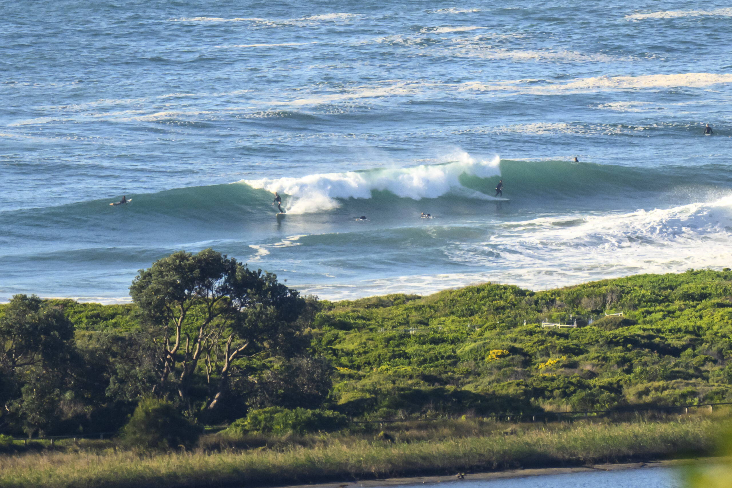
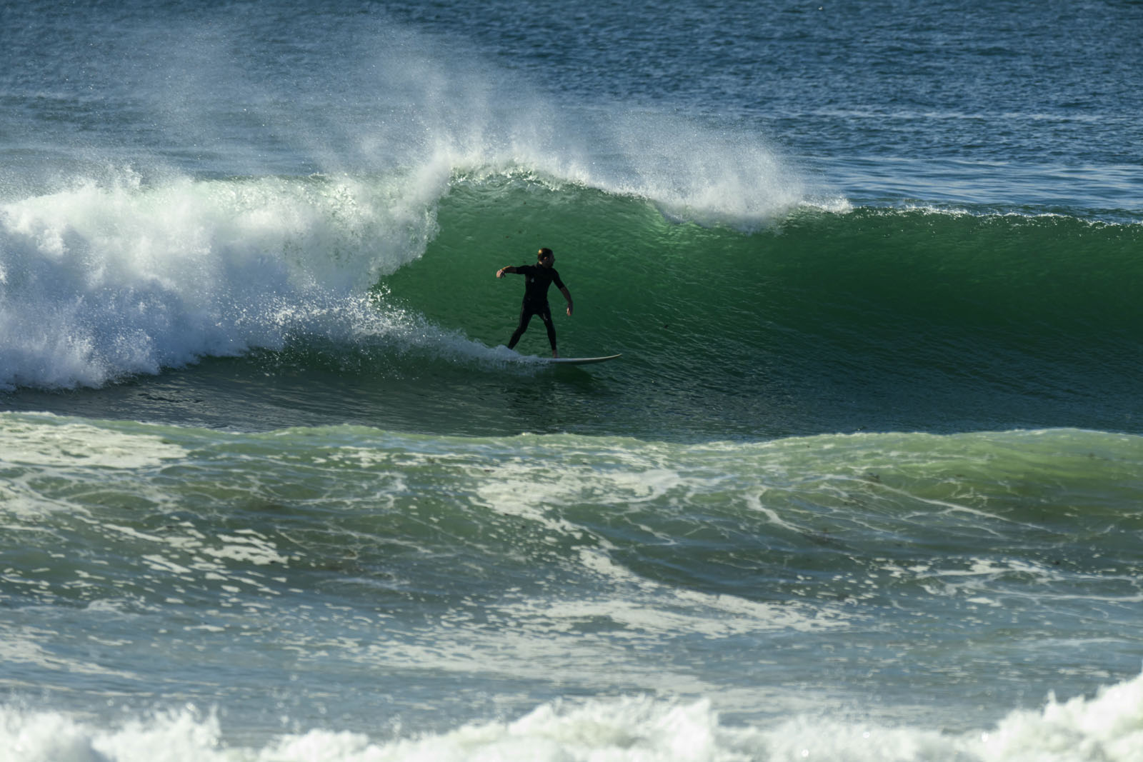
Midday update: Actual sunshine witnessed for the first time in days. And I can finally see the beach from the crows nest once more. Not all that fabulous looking it has to be admitted. And the water will be freshly topped up with a nice dose of street run-off. Swell has held just above the 2 metre mark from the ENE and the average period is creeping up toward the 8 second mark. So, if you don’t mind the possibility of playing host to some interesting organism or other, I’d say there should be a chance of a little something at exposed spots. Figure knee to waist with the odd bigger one.
Have fun!

Earlier I wrote: Hello Friends,
Another thoroughly disreputable morning along Sydney’s beaches. Wind was blowing steadily and vigorously from the ENE at 20-30 kts. Visibility on the coast was about 300 metres and it was raining. If ever there was a morning to just roll over and go back to sleep, this was it.
The MHL buoy doesn’t sleep though. As the day got started, it was showing the dominant wind swell energy coming from the east at about 7 seconds apart. Average size of the waves at sea pushed up a little overnight into the 2 metre range.
This morning’s rainy skies should clear away to a mostly sunny afternoon as the wind swings around to the north to NW. With any luck, that should mean a reasonable prospect of a wave of some sort for the late – in those semi-exposed north corners.
By then the tide will have well and truly dropped from this morning’s big high at 0830. Low’s around 1515, so there will also be a little tidal push to help things along for the late. You might want to pack the springy though because the NE’r is likely to have dropped the water temp a bit.
Looking ahead, tomorrow should see a continuation of the NW winds early, but these are due to track around to the SW and then go lightly southerly by nightfall tomorrow. Given the weak, local nature of the wind swell, I’d expect the energy levels to fade away pretty quickly too. Could be a little waist high wave early at spots that are unfazed by a very high tide.
Have yourself a top old day!

Weather Situation
A low is centred over Victoria, with an associated trough extending north through inland New South Wales and Queensland. This system is moving gradually east, and by late this evening the low is expected to be east of Bass Strait with the trough just clear of the far northeast of the state. The trough should continue to move away across the Tasman Sea during Sunday as a weak high pressure system approaches from the west. This high is forecast to reach the Tasman Sea on Monday, with another trough developing over the Bight likely to reach the east coast mid-week.
Forecast for Saturday until midnight
- Winds
- North to northeasterly 20 to 30 knots tending northeast to northwesterly 10 to 20 knots by evening.
- Seas
- Up to 3 metres decreasing to 2 metres by evening.
- Swell
- Southerly about 1 metre tending easterly 1.5 metres later.
- Weather
- The chance of thunderstorms in the morning.
Sunday 27 November
- Winds
- West to northwesterly 15 to 20 knots tending southwesterly up to 15 knots around midday.
- Seas
- Up to 1.5 metres.
- Swell
- Below 0.5 metres tending easterly 1.5 metres from the morning.
Monday 28 November
- Winds
-
East to southeasterly about 10 knots tending north to northeasterly 10 to 20 knots during the afternoon.
- Seas
-
Below 1 metre increasing to 1 to 1.5 metres during the evening.
- Swell
-
Easterly about 1.5 metres.


