Hello Friends,
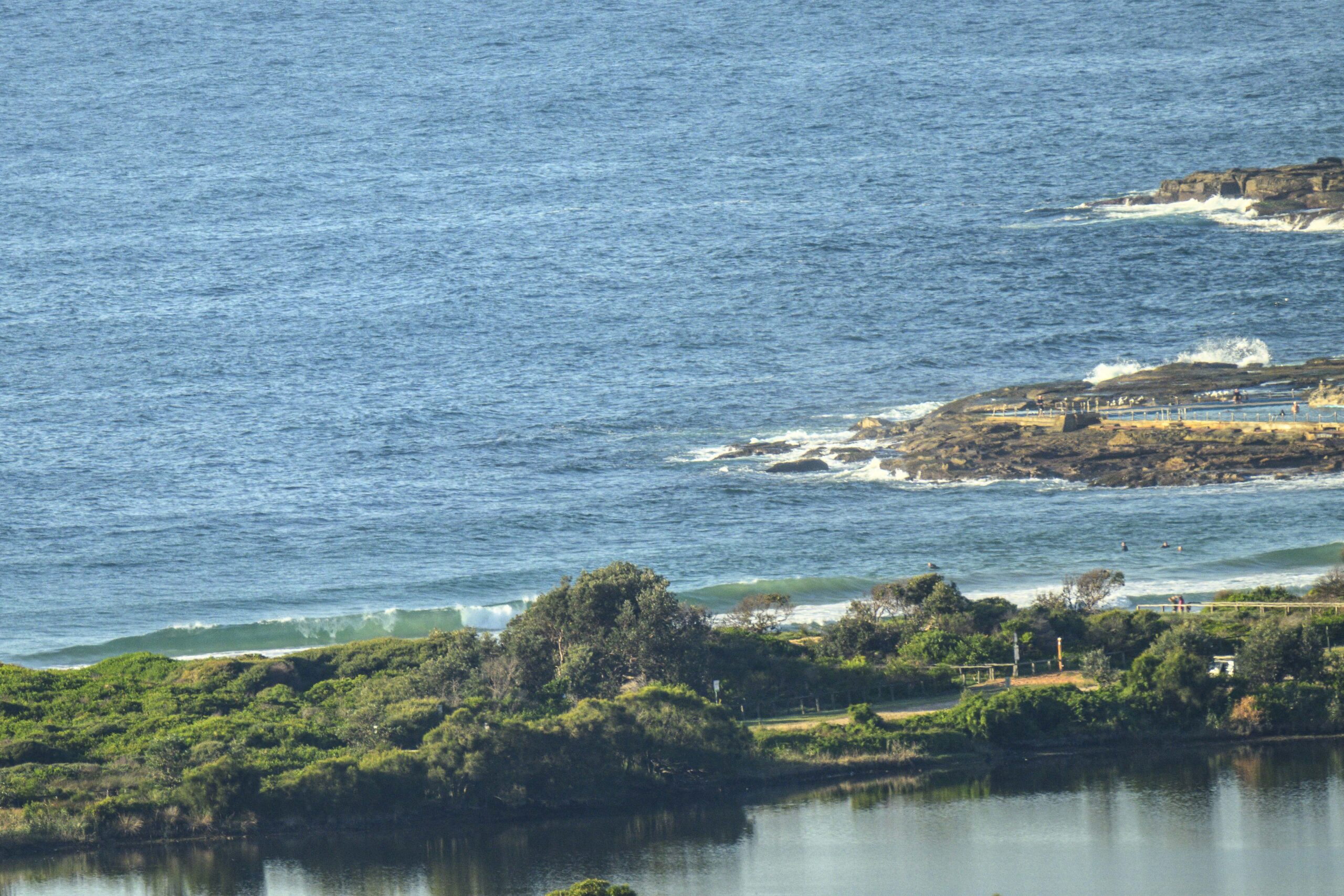
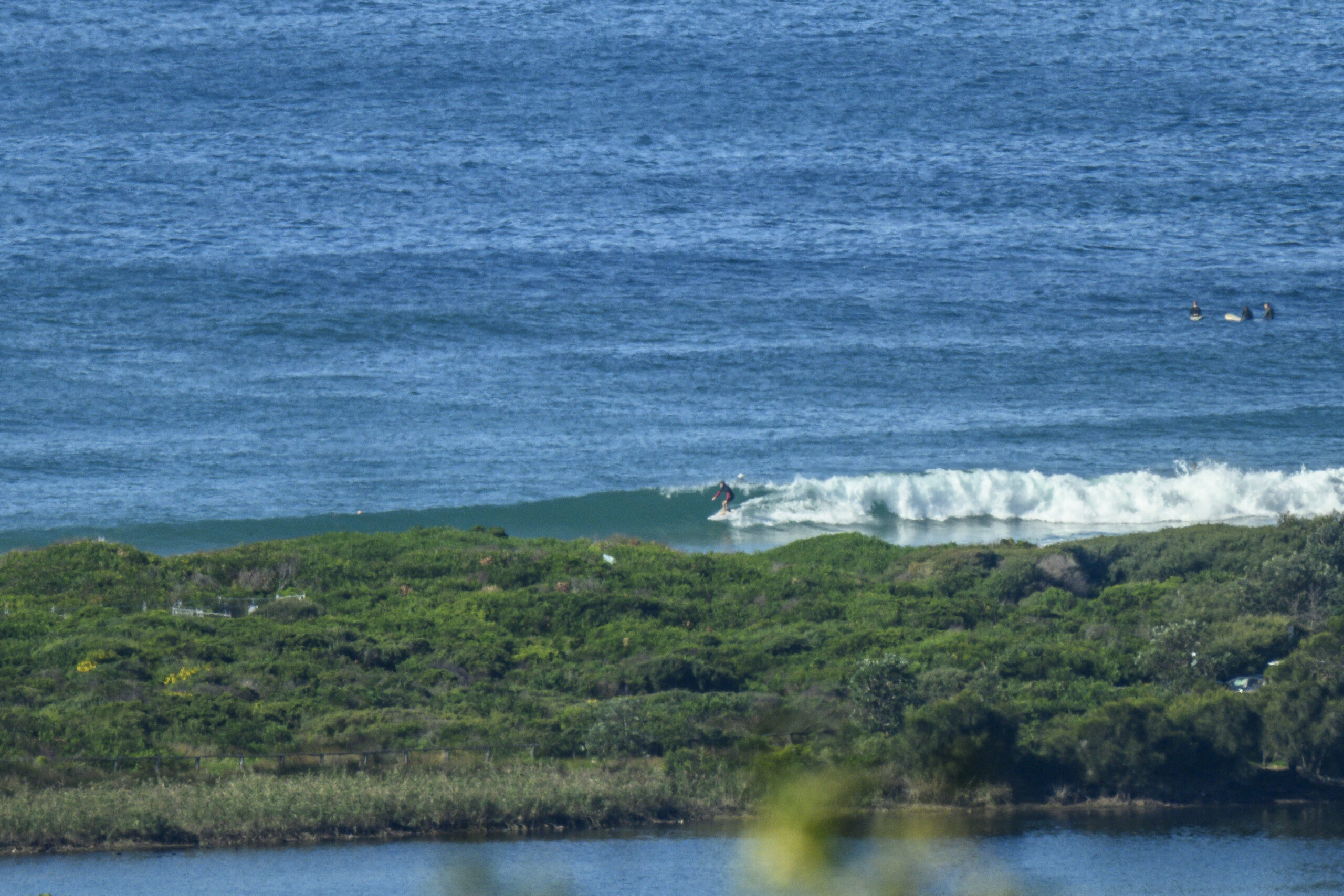
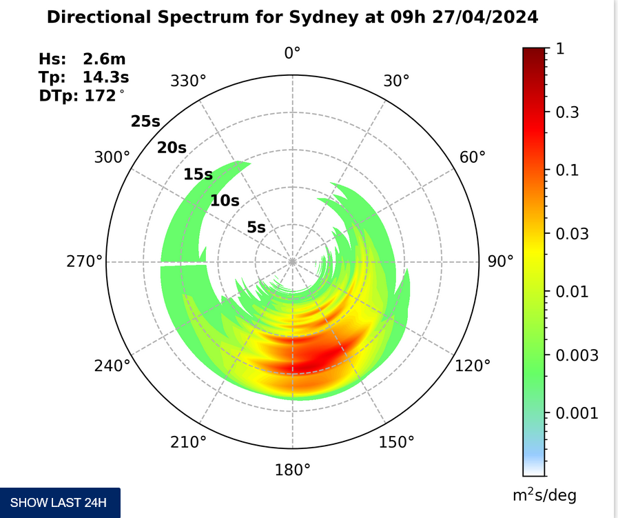
The 0820 high tide was a major player in the conditions at Dee Why this morning. The east swell picked up a little overnight and as the day got started was about two metres at sea with an average period of 10 seconds. I surfed the point yesterday and was reminded that it’s really not the best place for a wave in many east swells. There’s the odd interesting one there this morning, but the small crowd on a sunny Sunday morning after weeks of near flatness speaks eloquently.
Wind is set to be 10-15 kts from the north to north east, so take that into account in your calculations about the optimal spot for a wave.
I’m heading out for a look around shortly and I’ll fire off a tweet to my followers if I spot anything of interest.
Have yourself a great Sunday!


Weather Situation
A low pressure trough will approach the coast today, appearing as a southerly change in the far south in the afternoon then deepening into a low near the Mid North Coast on Monday. The low is expected to move rapidly to the south-southeast during Tuesday and Wednesday as a high pressure system moves south of the Bight extending a ridge to the north coast.
Forecast for Sunday until midnight
Winds
North to northeasterly 10 to 15 knots.
Seas
Below 1 metre.
Swell
Easterly about 2 metres.
Weather
The chance of thunderstorms from midday.
Monday 12 December
Winds
Northeasterly 15 to 20 knots shifting southerly 20 to 30 knots during the day.
Seas
Up to 1.5 metres increasing to 1.5 to 2 metres by early evening then increasing to 2 to 3 metres later in the evening.
Swell
Easterly about 1.5 metres.
Weather
The chance of thunderstorms, contracting offshore by early evening.
Tuesday 13 December
Winds
South to southwesterly 20 to 30 knots decreasing to 20 to 25 knots during the afternoon.
Seas
Up to 3 metres.
Swell
Easterly 1 metre tending southeasterly 1.5 metres during the evening.


