Hello Friends,
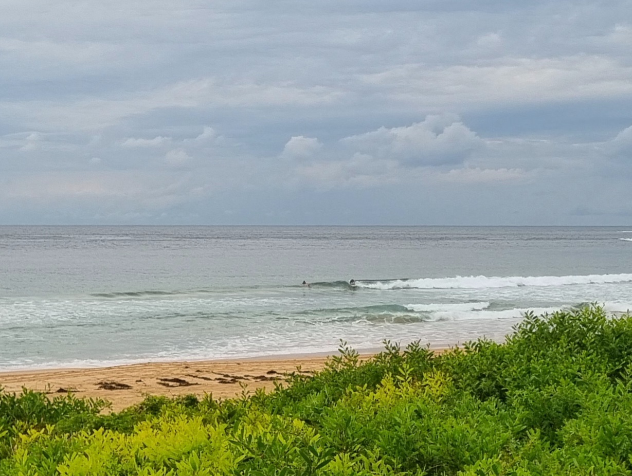
Do you like southerlies and rain? Well, you got it this morning in Sydney. Wind is pushing along at 15-20 kts right now and is due to pick up into the 20-30 kt range. Tide’s running up to the high at 0900 and Dee Why isn’t the better for it. There was a single person in the water chasing junky lumps in the corner amidst the chop and rafts of seaweed in the impact zone.
Outlook for the rest of the day is not good, and tomorrow and Wednesday look like more of the same but maybe with less rain.
Oh well, looks like a few days to get things done. Maybe later in the week we’ll see some improvement to the settings. This morning’s interpretations of the wave models is pointing toward reasonable prospects for early risers from Thursday through Saturday. We shall see!
Have yourself a top old day.
Weather Situation
A low pressure trough over eastern parts of the state will develop into a low off the Mid North Coast on Monday. The low is expected to move rapidly to the south-southeast during Tuesday and Wednesday as a high pressure system moves south of the Bight extending a ridge to the north coast.
Forecast for Monday until midnight
Winds
Southerly 10 to 20 knots, reaching 25 knots at times, increasing to 20 to 30 knots during the morning.
Seas
Up to 1.5 metres increasing to 2 metres during the morning then increasing to 2 to 3 metres around midday.
Swell
Easterly about 1.5 metres.
Tuesday 13 December
Winds
South to southwesterly 25 to 30 knots.
Seas
2 to 3 metres.
Swell
Southeasterly 1 metre increasing to 2 metres late in the evening.
Wednesday 14 December
Winds
Southerly 15 to 25 knots.
Seas
1.5 to 2 metres.
Swell
Southeasterly 2 metres.

