Hello Friends,
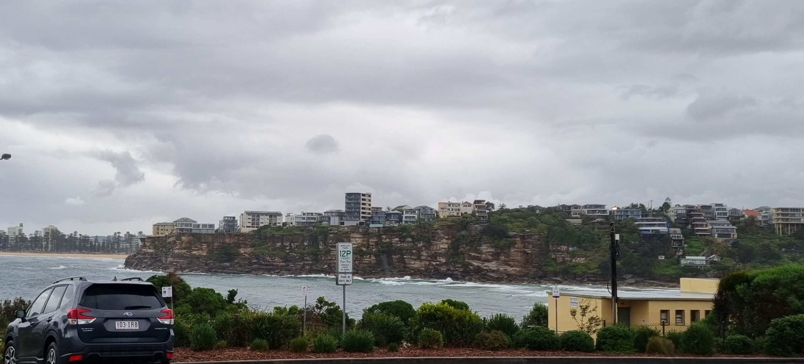
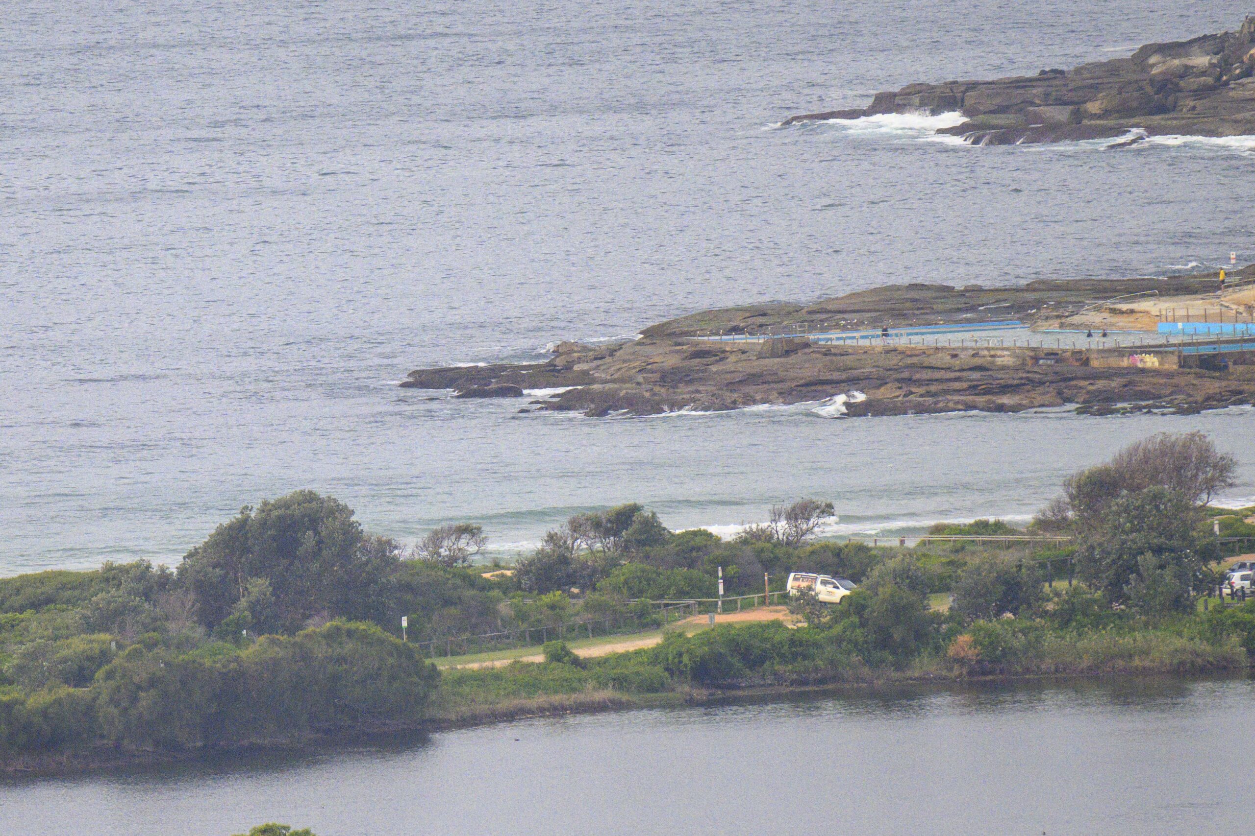
Swell’s dropped quite a bit since yesterday morning. But it’s still close to 2 metres at sea with an average period of 9 seconds and, happily, the primary direction is more around to the SE. And that ought to open up a few more possibilities around the place.
Wind was light and out of the SW for the early. The Bureau says it’s going to swing more to the south and then SE as it picks up into the 10-15 kt range by lunch. So, the plan is obviously to get out there asap.
High tide arrives in Sydney a little before noon.
It looks as though the swell energy should stick around but gradually decrease over the next day or two. At this stage it seems likely that we’ll have waves for the weekend warriors on Saturday morning, and possibly even through to Sunday.
Have yourself a fantastic Friday!
Weather Situation
A high south of the Bight extends a ridge towards New South Wales. The high will slowly drift east during the next day or two, with a ridge strengthening along the Australian east coast and north to northeasterly winds developing along the coast over the weekend. A trough approaching from the west is expected to reach the NSW coast late Monday/Tuesday, when a southerly change will extend northwards along the southern half of the coast.
Forecast for Friday until midnight
Winds
Southerly 5 to 10 knots turning southeasterly 10 to 15 knots in the late morning.
Seas
Below 1 metre.
Swell
Southeasterly 2 metres.
Saturday 17 December
Winds
Southeasterly 5 to 10 knots tending east to northeasterly later in the evening.
Seas
Below 1 metre.
Swell
Southeasterly 1.5 metres.
Sunday 18 December
Winds
Northeasterly 10 to 15 knots increasing to 15 to 20 knots during the afternoon.
Seas
Below 1 metre increasing to 1 to 1.5 metres during the afternoon.
Swell
Southeasterly about 1.5 metres.


