Hello Friends,
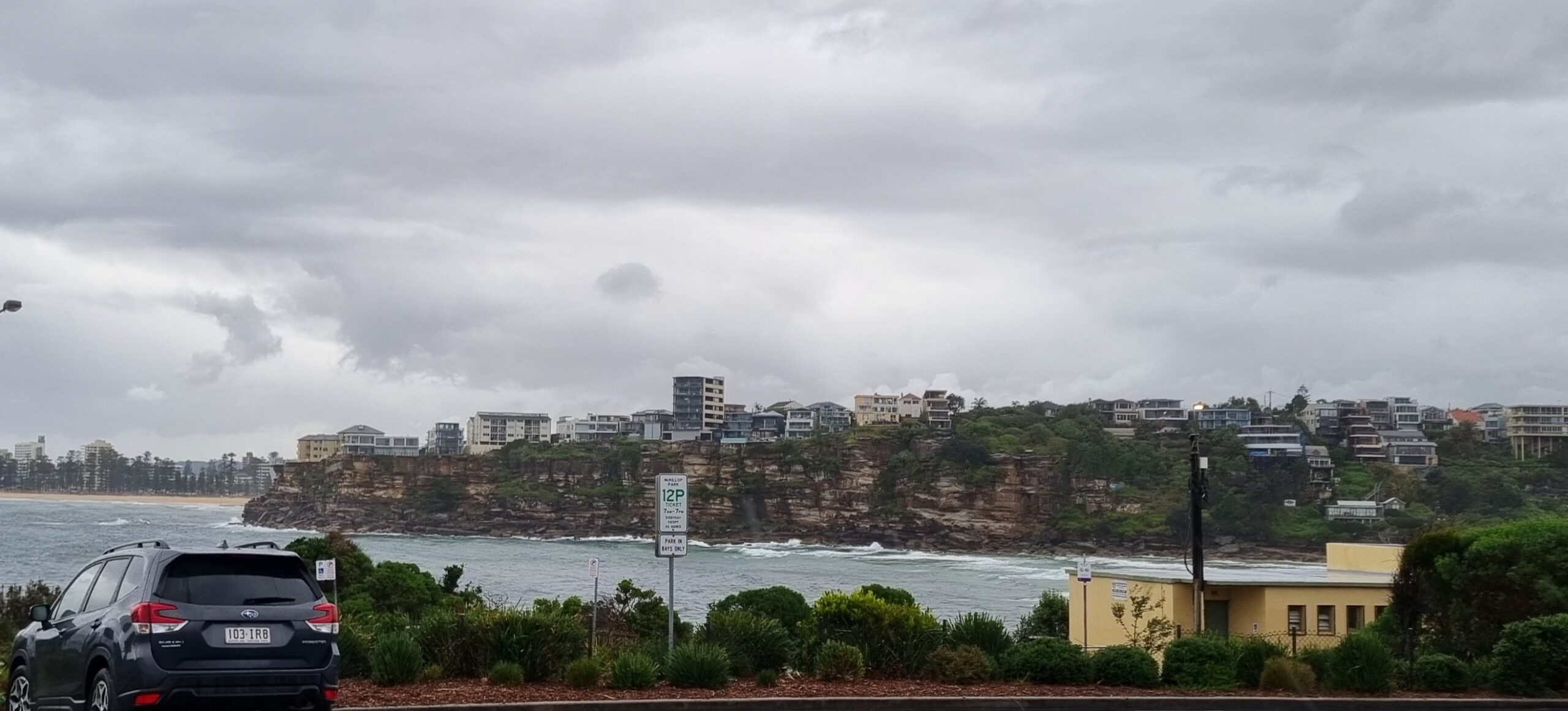
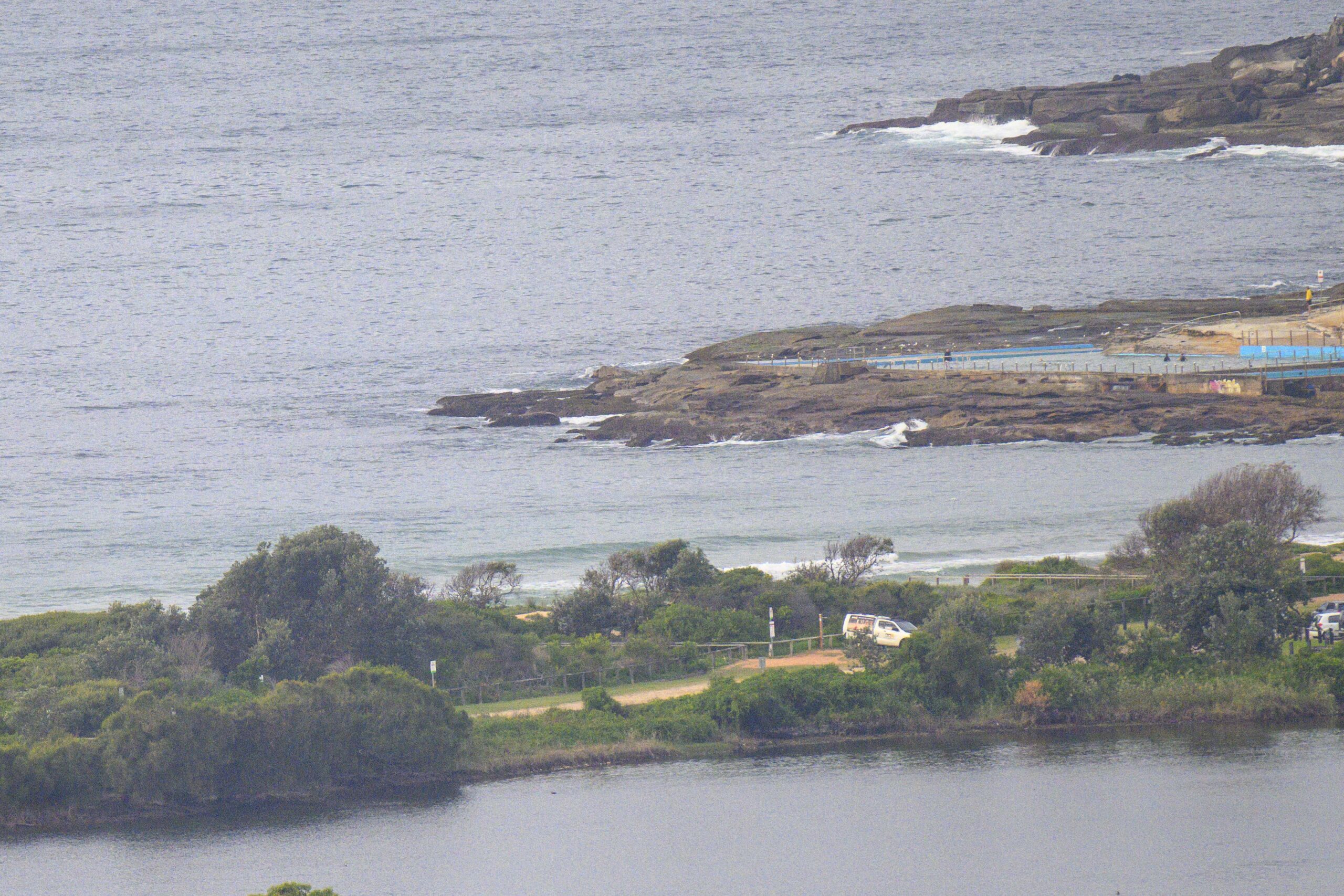
Somewhat bumpy from a light SE’r as Saturday kicked off. Tide was low at 0630 and the 2 metre swell was coming from the SE at around 11 seconds apart. That’s juicy enough to be delivering solidly overhead wave faces at Dee Why point. Our generally featureless banks are shutting down on the bigger ones and anywhere with exposure to the SE will have been bumpy from the get-go.
It’s very likely that the swell is at, or near peak size and from here on, it gradually decreases into a week of marginal – but with any luck – not totally flat conditions.
So get on it while you can!
Weather Situation
A high pressure system over the southwestern Tasman Sea is very slowly moving south-southeast maintaining a ridge to New South Wales north coast. A low pressure trough is expected to bring southerly change to the south coast later on Monday extending to the far north coast during Tuesday evening.
Forecast for Saturday until midnight
Winds
South to southeasterly 5 to 15 knots tending east to southeasterly in the afternoon.
Seas
Below 1 metre.
Swell
Southeasterly 1.5 metres.
Sunday 18 December
Winds
Easterly 5 to 10 knots tending east to northeasterly 10 to 15 knots during the morning then becoming northeasterly 15 to 20 knots by early evening.
Seas
Below 1 metre increasing to 1 to 1.5 metres later in the evening.
Swell
Southeasterly about 1.5 metres.
Monday 19 December
Winds
North to northeasterly 15 to 25 knots.
Seas
1.5 to 2 metres.
Swell
Southeasterly 1 metre.


