Hello Friends,
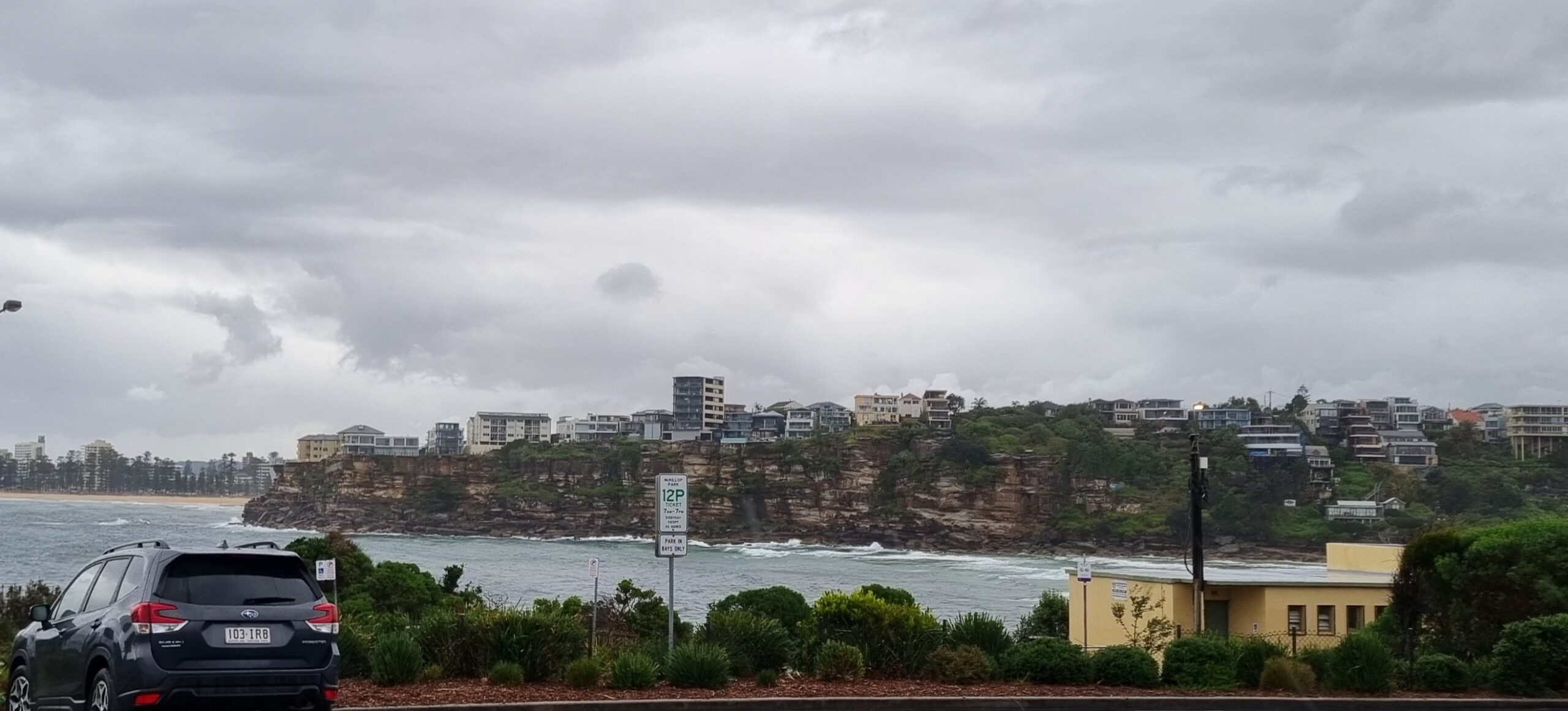
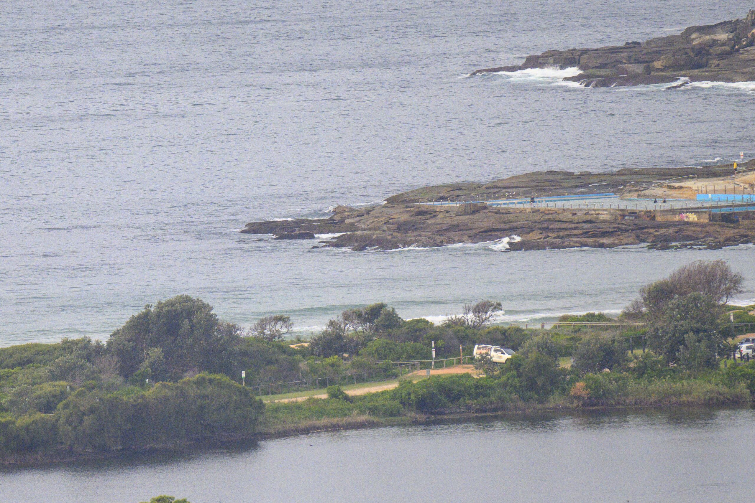
Wind was out of the SE at 10-15 kts this morning and the little wind swell of the last few days has dropped back to about a metre from the east at 8 seconds apart. According to this morning’s forecast from the Bureau, the wind will stay at it through the day and the average height of the swell will bump up a touch. But I’d say you’ll need to be pretty keen to get in because the quality is marginal at best.
The next tide is a high at 1045 this morning and the low will be along at about 1710.
Oh, and big surprise, the cloudy skies will continue along with an 80% chance of rain.
Over the next couple days, the wind is expected to go more around to the NE. So, maybe there’ll be a few more small surf options around at places that can do something with east wind swell and cope with a NEr.
Have yourself a top old Friday!
Weather Situation
A weak cold front is crossing the southern Tasman Sea and a high pressure system is moving towards Tasmania extending a ridge behind the front bringing southerly change to New South Wales south coast. During Friday the high will move over the southwestern Tasman Sea extending the ridge to the north coast. Another, stronger southerly change is expected to develop on the south coast on Monday.
Forecast for Friday until midnight
Winds
East to southeasterly 10 to 20 knots.
Seas
Below 1 metre increasing to 1 to 1.5 metres during the afternoon.
Swell
Northeasterly 1 metre.
Saturday 28 January
Winds
East to northeasterly 10 to 15 knots becoming northeasterly 15 to 20 knots later in the evening.
Seas
1 to 1.5 metres.
Swell
Easterly 1 metre tending southerly in the afternoon and evening.
Sunday 29 January
Winds
North to northeasterly 15 to 20 knots decreasing to 10 to 15 knots during the morning.
Seas
Up to 1.5 metres.
Swell
Southeasterly 1 metre.


