
Hello Friends,
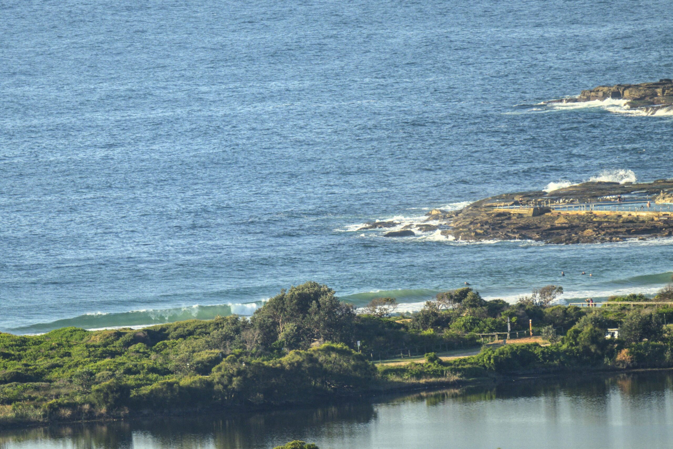
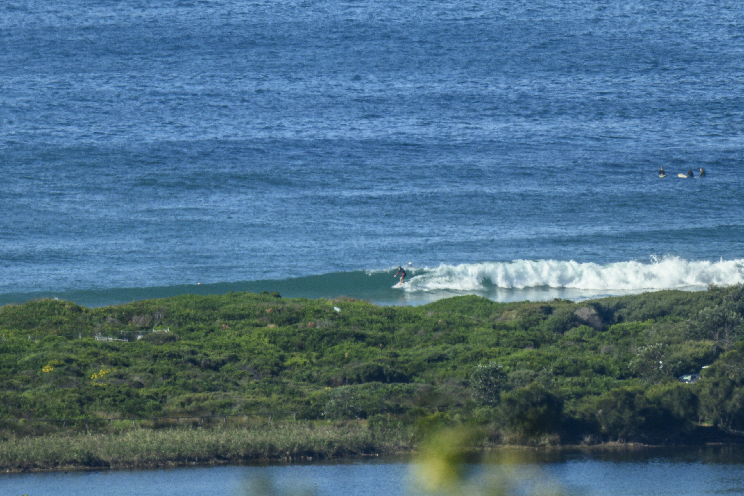
A mostly sunny day for Sydney this Tuesday. The marine forecast is calling for NE sea breezes developing during the morning and by late afternoon should be into the 15-20 kt range. Given the metre or so of 7 second period east wind swell, I guess we can hope that it might push up a little something for a scrappy late afternoon session.
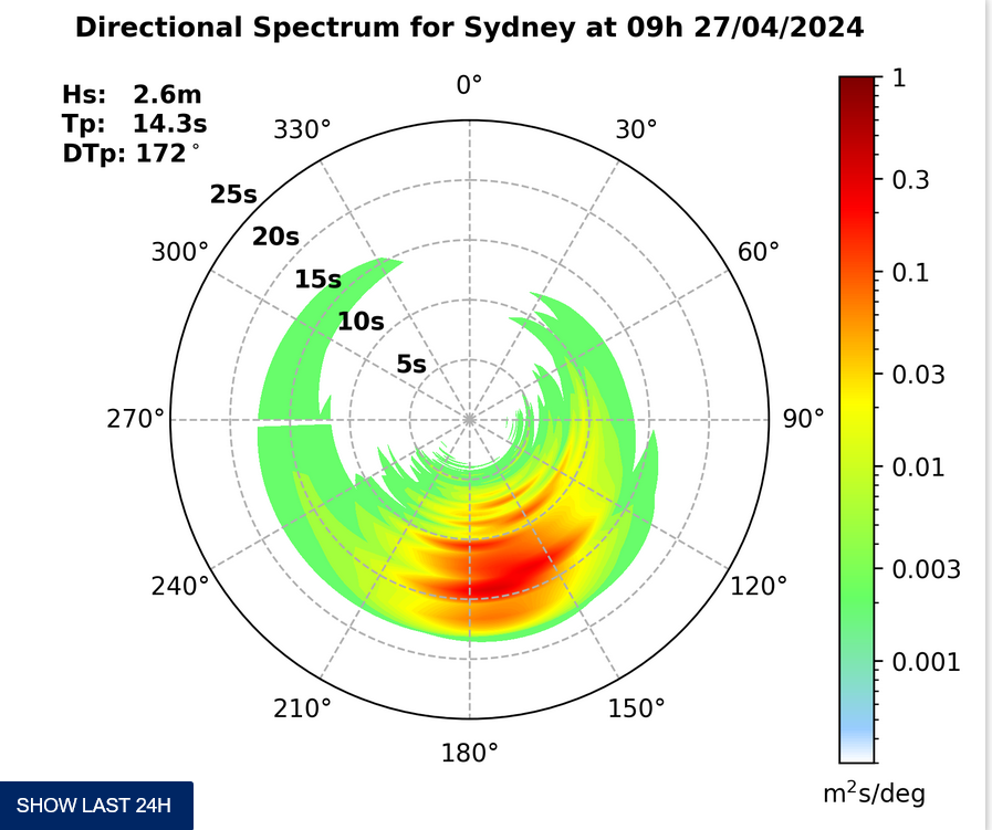
On current reckoning, it would seem that we’re in for a week of mainly small wind swell. But the very long range modelling this morning is pointing toward a significant swell event in about a week. Essentially it looks as though we might be in for an intense SE swell/SE wind combo that could last for several days.
Have yourself a top old Tuesday!
Tides: L @0710 H @1310
Weather Situation
A slow-moving high pressure system over the southern Tasman Sea extends a ridge to New South Wales north coast. During Friday and Saturday a frontal system is expected to bring southerly change along the coast as the high moves east and the ridge weakens.
Forecast for Tuesday until midnight
Winds
North to northeasterly 10 to 15 knots becoming northeasterly 15 to 20 knots by early evening.
Seas
Below 1 metre increasing to 1 to 1.5 metres later in the evening.
Swell
Southeasterly 0.5 metres tending easterly during the evening.
Wednesday 14 March
Winds
Northeasterly 10 to 20 knots tending north to northeasterly 10 to 15 knots around dawn then becoming northeasterly 15 to 20 knots by early evening.
Seas
Up to 1.5 metres.
Swell
Easterly 1 metre.
Thursday 15 March
Winds
North to northeasterly 15 to 20 knots.
Seas
1 to 2 metres.
Swell
Easterly 1 metre.


