Hello Friends,
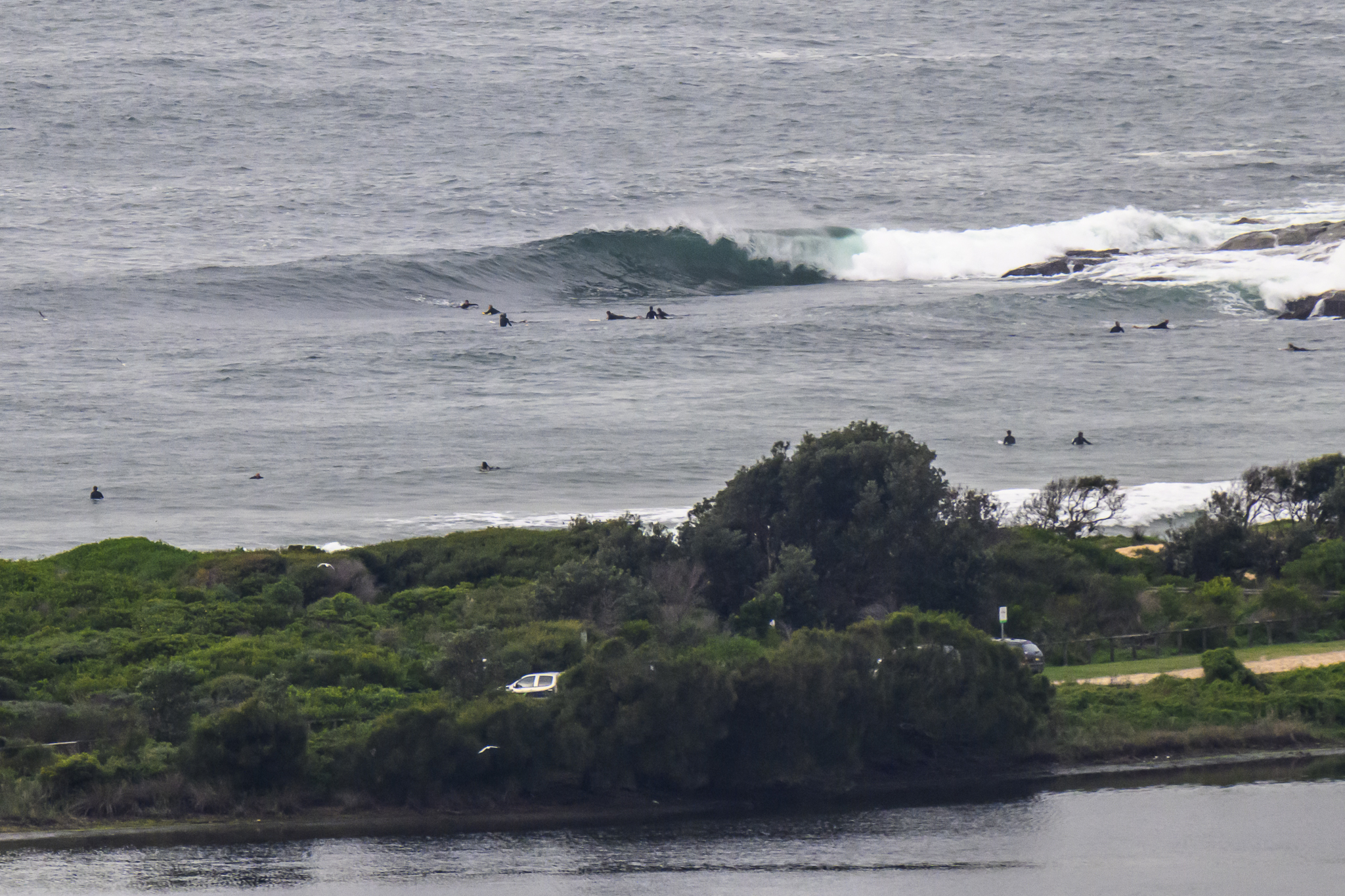
A tiny, summery day coming up for Sydney surfers. The Bureau tells us we can expect a maximum of 26 along the coast and a brisk NE’r by this afternoon. Something for the late arvo wind swell junk aficionados perhaps. This morning looks good for a swim or a long staying-fit paddle maybe. The little 6 second period NE wind swell is lapping in at around knee high, so if you’re determined to take a board to the beach, take your biggest one.
From the look of the swell forecast model interpretations this morning, we’re in for another 48-72 hours of small to near flat conditions. From about Saturday onward though, it would seem that we’ll switch into a southerly regime windwise and small swell coming predominantly from the east. The wave options will likely be limited to the usual south wind spots, but at least there is the prospect of something into the surfable size range.
Have yourself a top old Wednesday one and all!
Weather Situation
A high pressure system over the Tasman Sea extends a ridge across most of the state as a trough deepens to the southwest of New South Wales. This slow moving pattern will linger during Wednesday and Thursday with northeasterly airstream dominating along the coast. The trough is likely to bring a southerly change to the South Coast later on Friday with southerlies extending to the North Coast on Saturday.
Forecast for Wednesday until midnight
Winds
Northeasterly 10 to 20 knots increasing to 20 to 25 knots by early evening.
Seas
1 to 1.5 metres increasing to 1.5 to 2.5 metres in the evening.
Swell
Easterly 1 metre.
Thursday 15 March
Winds
Northeasterly 15 to 20 knots.
Seas
Up to 2 metres.
Swell
Easterly 1 metre.
Weather
The chance of thunderstorms until late afternoon, mainly offshore.
Friday 16 March
Winds
Northeasterly 15 to 20 knots.
Seas
1 to 1.5 metres.
Swell
Easterly 1 metre.


