Hello Friends,
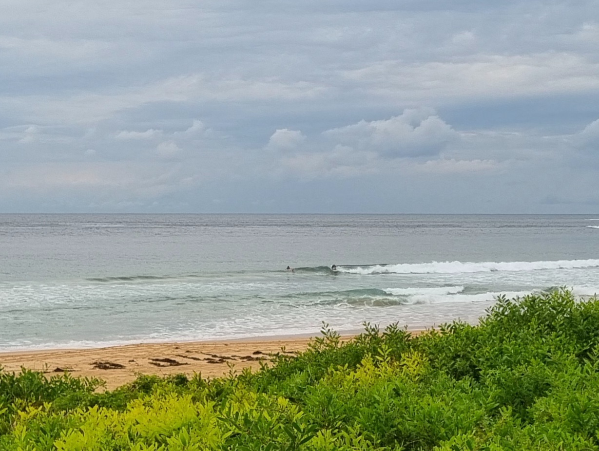
The ocean was showing a little more life this Sunday morning. But it’s still quite small. Given the numbers reported by the MHL buoy off Sydney, I’m a bit surprised that the sets aren’t bigger. Maybe I was watching during a long lull… at any rate, it’s showing a couple metres from the south at 9 seconds apart out at sea. But at Dee Why the large crew in the beach break are seeing waist high wave faces for the most part.
Looking at the swell models this morning, it seems that this morning’s offerings may be about as big as we’re going to get for the next few days. Indeed, much of the modelling is pointing toward a week of small to nearly flat conditions for our region. Hope they’re wrong!
Your best shot today, pretty obviously, will be to head for your favourite south swell spot.
Wind is light early and according to the Bureau it’ll decrease toward midday before going around to east south east for the late.
Go well with your Sunday!
TIDES: H @1050, L @1645
Weather Situation
A high pressure system south of the Bight is directing cool and dry southwesterly winds over much of the state. This high is expected to move eastwards over the next couple of days, with southwesterly winds easing and tending northeast to southeasterly.
Forecast for Sunday until midnight
Winds
South to southeasterly 10 to 15 knots decreasing to 10 knots around midday then tending east to southeasterly by early evening.
Seas
Below 1 metre.
Swell
Southerly 1.5 metres.
Monday 26 March
Winds
Easterly 5 to 10 knots turning northeasterly 10 to 15 knots during the afternoon.
Seas
Below 1 metre.
Swell
Southerly 1.5 metres.
Tuesday 27 March
Winds
Northeasterly 5 to 10 knots increasing to 10 to 15 knots during the day.
Seas
Below 1 metre.
Swell
Southerly 1.5 metres.

