
Hello Friends,
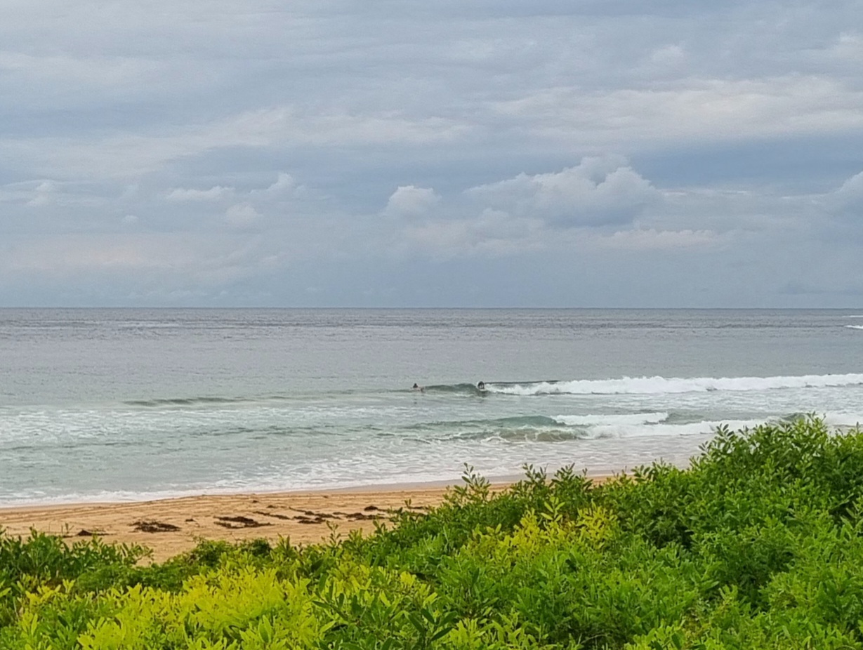
If you can get out there this morning, do so. Swell has settled back into the two metre range from the SE with a period of around 10 seconds. That happens to be a great combo for many Sydney beaches, so it should be a very fun Friday.
And the good news is that the wind is set to be out of the SW too.
Tide was low at 0530 and will hit high at 1130.
Plus… the latest swell forecast modelling is looking tasty through to Sunday morning. And, I’m liking the look of next week too. Ah, winter!
Go well with your Friday!
Weather Situation
A high pressure system centred west of Bass Strait extends a ridge over most of the State. The ridge should strengthen during the next few days, with the high expected to be centred near Tasmania over the weekend. South to southwesterly airstream will dominate along the coast until the weekend, then turn south to southeasterly and strengthen in the north early next week as a low pressure trough develops and deepens over the northwestern Tasman Sea.
Forecast for Friday until midnight
Winds
Southwesterly 10 to 15 knots.
Seas
Below 1 metre.
Swell
Southerly 2 to 3 metres.
Weather
Large swells breaking dangerously close inshore.
Saturday 9 June
Winds
South to southwesterly below 10 knots.
Seas
Below 1 metre.
Swell
Southerly 2 to 3 metres.
Weather
Large swells breaking dangerously close inshore.
Sunday 10 June
Winds
Southeasterly 15 to 20 knots.
Seas
1 to 1.5 metres.
Swell
Southerly 2 metres.
Weather
Large swells breaking dangerously close inshore in the morning.

