Hello Friends,
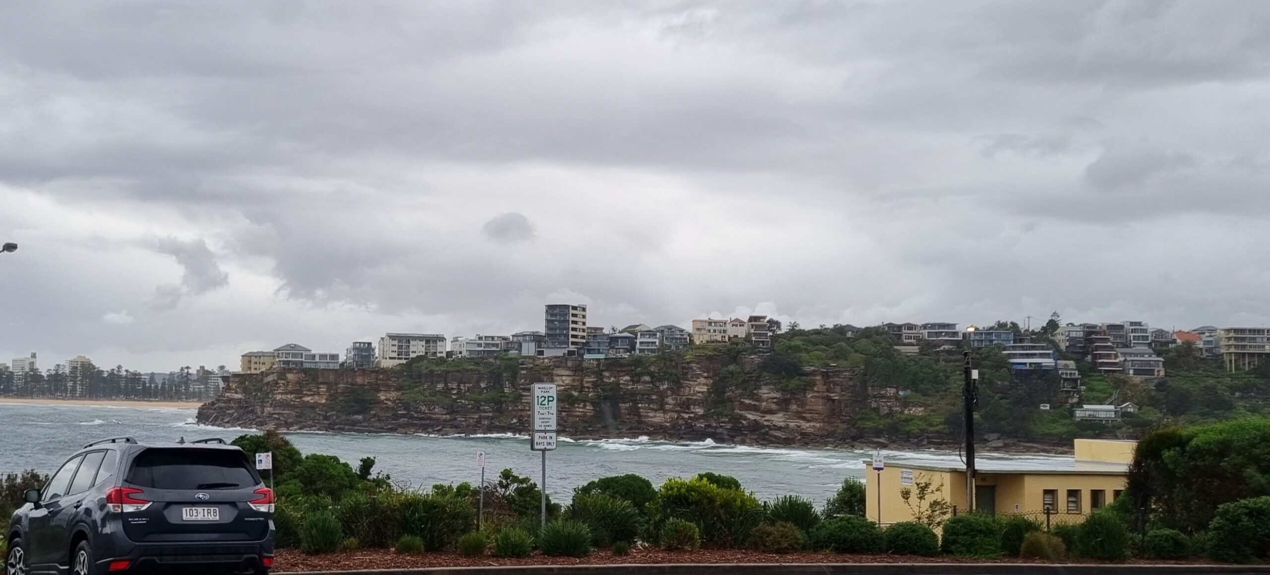
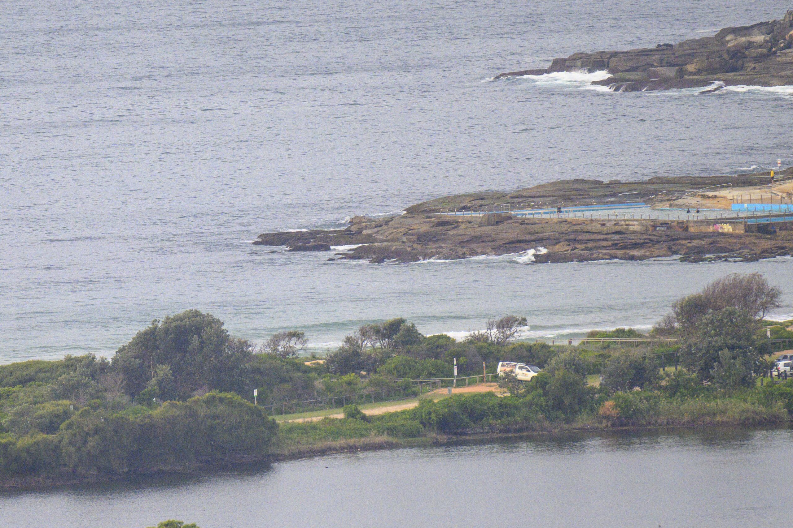
Apologies for the late report. Surprisingly there seem to still be a few little waves left. Take your floaty equipment and if you’re going in the afternoon, look for a spot out of the NE’r. Swell at report time was coming from the SE. It was about a metre at 9 seconds.
Looks like a pretty quiet surf week coming up. And the long range outlook isn’t looking too flash either. With luck we’ll have some little stuff to mess about with until Huey gets around to slinging us another low. From the shape of things, it currently seems that Wednesday is likely to be the peak for the week. Hope we get something into the head high range…
Have yourself a top old Monday!
High tide’s at 1230, Low’s at 1825
Weather Situation
A strong high pressure system over the Tasman Sea will remain slow moving and maintain a ridge towards the state’s far northeast. Weak onshore airstream will turn northerly and strengthen in the south on Tuesday as a low pressure trough pushes into state’s west and south. North to northwesterlies will dominate along the coast on Wednesday and Thursday as another trough approaches from the west. The trough will reach the far south late Thursday, then move slowly over the remainder of the coast on Friday and Saturday bringing southwesterly change.
Forecast for Monday until midnight
Winds
North to northeasterly about 10 knots increasing to 10 to 15 knots in the evening.
Seas
Below 1 metre.
Swell
Southeasterly 0.5 metres.
Tuesday 10 July
Winds
Northerly 10 to 15 knots, increasing to 20 to 25 knots in the late afternoon.
Seas
1 to 1.5 metres increasing to 1.5 to 2 metres around midday.
Swell
Southeasterly 0.5 metres.
Wednesday 11 July
Winds
Northerly 15 to 25 knots turning northwesterly 10 to 15 knots during the day.
Seas
Up to 2 metres decreasing to below 1 metre during the evening.
Swell
Easterly about 1 metre tending northeasterly 1.5 metres during the evening.


