
Hello Friends,
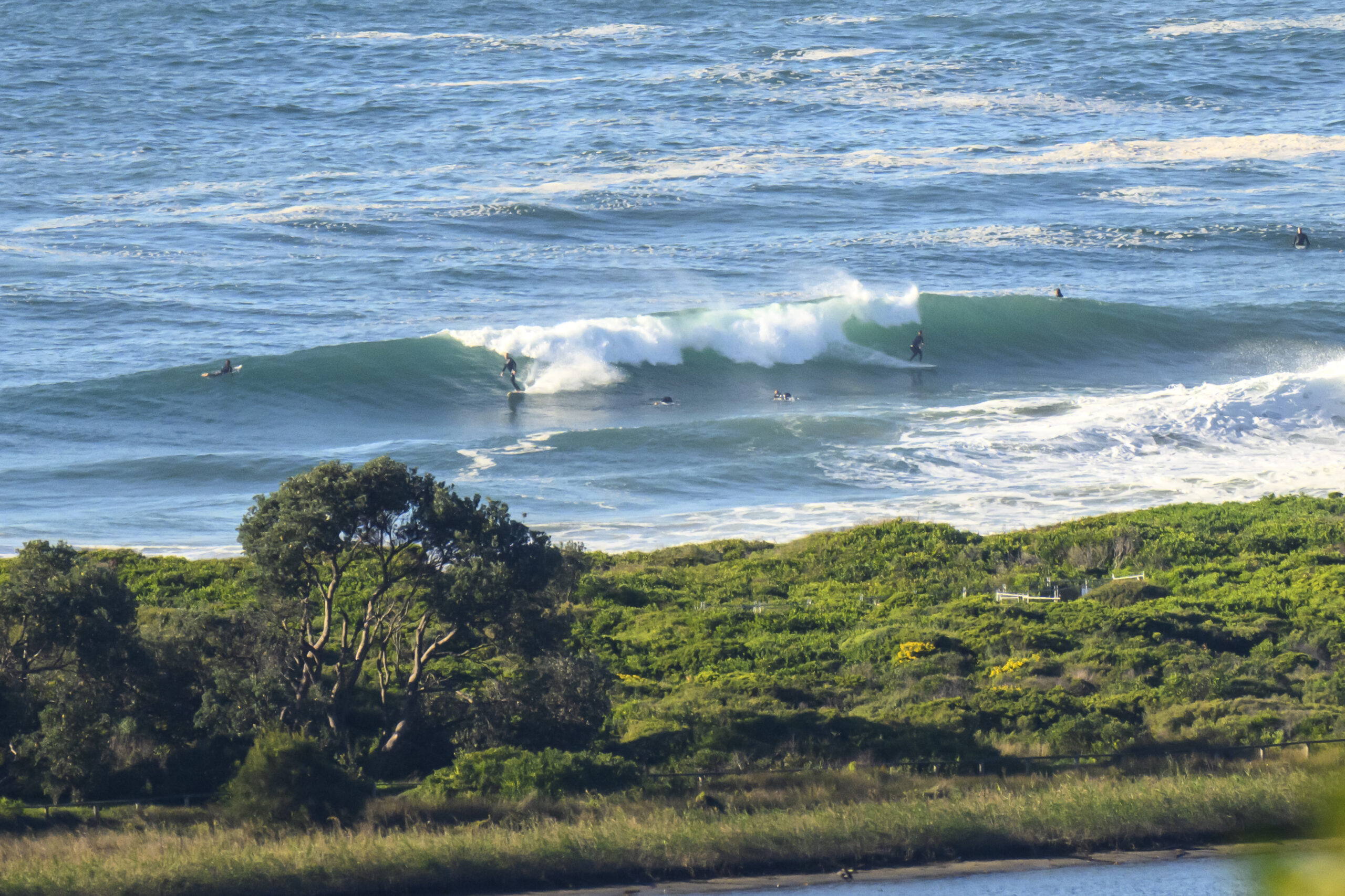
Sydney surfers will need every gram of keen-ness they can muster today. Really, being realistic, you could go for a long paddle 10 metres off the beach without getting your hair wet at most places today. It’s that small.
According to the MHL buoy data, the swell is coming from the south at about a metre and around 7 seconds apart.
It’s good to see the hope of a midweek pulse on this morning’s run of the swell forecast models. It’s been sitting there in the forecasts for some days now, so I’d say the confidence has to be reasonable that it’ll happen. The Bureau, is saying the energy should arrive around midday from the east on Wednesday. Swell height is expected to be around a metre but the period is set to be in the 14-15 second range.
So, could be fun.
In the meantime, build up those brownie points.
Have yourself a top old Monday.
Weather Situation
A high pressure system over central Australia is moving east strengthening a ridge across the northern Tasman Sea while a series of cold fronts are crossing to the south. The high will move over the western Tasman Sea Monday night and further towards New Zealand during Tuesday, maintaining the ridge to the northeast.
Forecast for Monday until midnight
Winds
West to southwesterly 10 to 15 knots decreasing to variable about 10 knots in the morning.
Seas
Below 1 metre.
Swell
Southerly about 1 metre.
Tuesday 17 July
Winds
Northerly 10 to 15 knots.
Seas
Below 1 metre.
Swell
Southerly 1 metre.
Wednesday 18 July
Winds
Northwesterly 10 to 15 knots decreasing to variable about 10 knots during the morning.
Seas
Below 1 metre.
Swell
Southerly 0.5 metres tending easterly about 1 metre from midday.

