 Hello Friends,
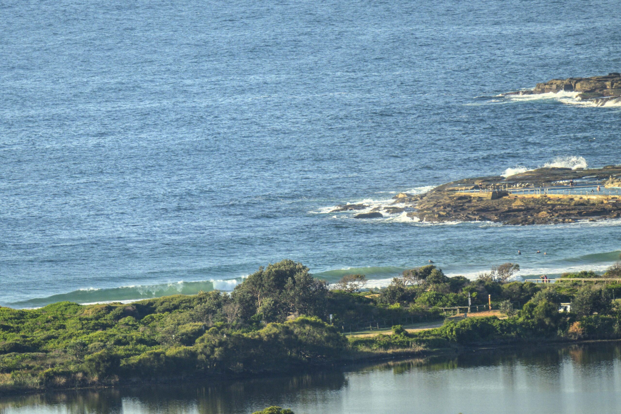
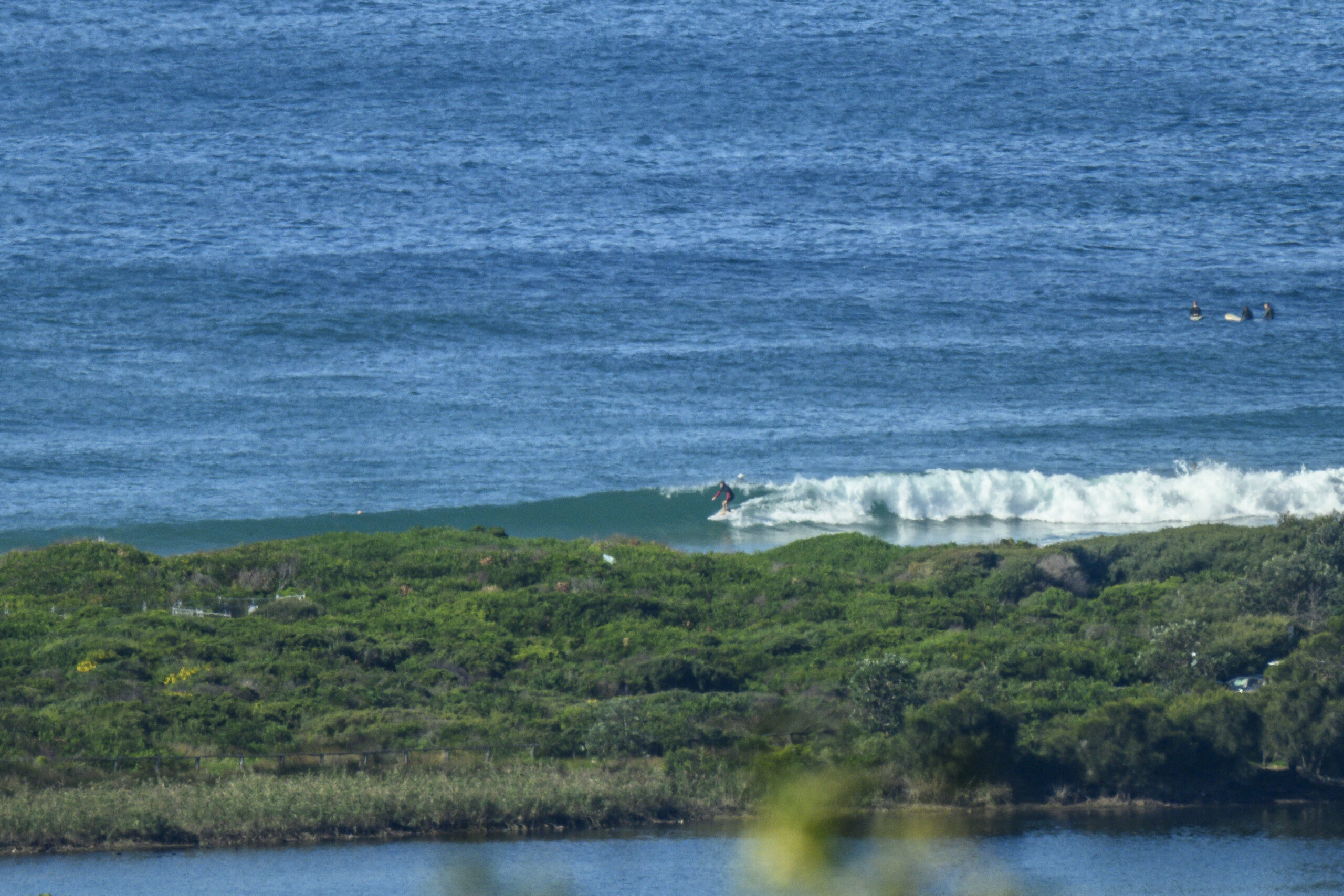
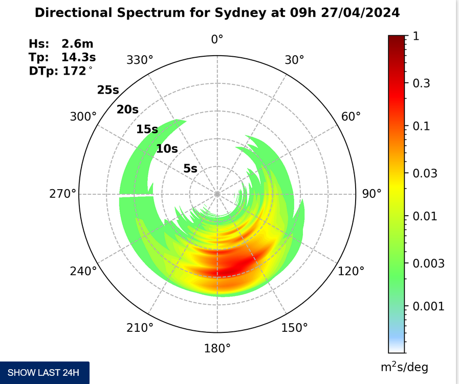
This morning started out with the mainly 8 second wind swell coming in from the SSE. In line with the swell modelling of the last few days, the Bureau tells us that it should turn more easterly by lunchtime. And while the average period is unimpressive this morning, there is also some very long period component (17 seconds) showing on the Sydney MHL buoy.
It’s a metre out at sea and from the look of the beach at Dee Why this morning, about that size on sets. I’ll keep an eye on things today, so maybe check back later to see if the east swell pulse has turned up. From the shape of the forecasts, this will be the best we can hope for until maybe next week. It’s looking from here as though the problem won’t be size, but a steady diet of southerlies from tomorrow through to the middle of next week.
Have yourself a great day!
TIDES: H@ 0740 L @1315
Weather Situation
A cold front will move east across Victoria and the southern parts of New South Wales. The front will bring a fresh southerly change, expanding to Queensland border by Thursday afternoon. From Friday onwards, a slow moving deepening low in the Tasman will combine with a ridge over most of New South Wales to direct fresh to strong southerly airstream along New South Wales coast.
Forecast for Wednesday until midnight
Winds
West to northwesterly about 10 knots tending southwesterly 10 to 15 knots later in the evening.
Seas
Below 1 metre.
Swell
Southerly 0.5 metres tending easterly about 1 metre from midday.
Thursday 19 July
Winds
Southwesterly 15 to 20 knots turning southerly 15 to 25 knots in the morning.
Seas
Up to 1.5 metres increasing to 1.5 to 2 metres early in the morning.
Swell
Easterly 1 metre.
Weather
The chance of thunderstorms until afternoon.
Friday 20 July
Winds
Southerly 15 to 25 knots.
Seas
1 to 2 metres.
Swell
Easterly 1 metre.


