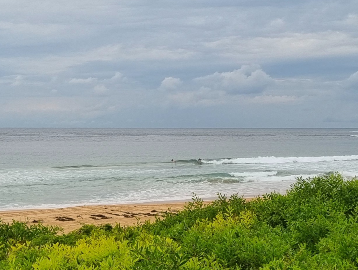
 Hello Friends, Swell has tidied up a little overnight, but it’s still pretty lumpy and bumpy looking as of 0730. The problem is that the Bureau tells us we can expect the wind to be 20-25 kts from the south today and to be around to the SE this evening. It looks from their forecast as though we should start to see cleaner conditions from Tuesday afternoon with the swell still sticking around in the shoulder to head high range. Swell is out of the south at 8 seconds apart with an average height at sea of 3 metres. That ought to translate into chest to a bit overhead at those semi-exposed where the chop isn’t too ridiculous. Have yourself a great Sunday everybody. H @1020, L @1605
Weather Situation A slow-moving low is situated over northern Tasman Sea, while a strengthening high near Adelaide extends a ridge to the east. Between these systems, a vigorous southerly airstream is affecting much of the New South Wales coast. Winds will ease from the south during the next few days as the high drifts slowly overhead. Forecast for Sunday until midnight Winds Southerly 20 to 25 knots turning southeasterly 15 to 20 knots in the late evening. Seas 2 metres. Swell Southeasterly 2 metres. Monday 23 July Winds South to southeasterly 15 to 20 knots. Seas 1 to 2 metres. Swell Southeasterly 2 to 3 metres. Tuesday 24 July Winds Southerly 15 to 20 knots decreasing to variable about 10 knots during the afternoon. Seas Below 1 metre. Swell Southeasterly 2 metres.

