Hello Friends,
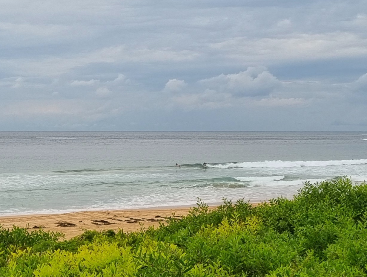
Swell is out of the south at about two metres on average with a period of 8 seconds. Wind was 10-15 kts WSW at a little before 0700. Skies started out largely cloud free over Sydney too. Tide is dropping to a low at 1120 and will be back to high at 1755. Both wind and swell should be picking up through the day, with the Bureau calling 4 metres by afternoon.
Gotta run, will try to update later…
Weather Situation
A low pressure system is deepening over the eastern Tasman Sea, while a high south of the Bight extends a ridge to the Coral Sea. Between these two slow-moving systems, much of the New South Wales coast will see vigorous south to southwesterly winds during the next few days. Conditions are expected to ease during the second half of the week as the high weakens and moves to the Tasman Sea.
Forecast for Monday until midnight
Winds
South to southwesterly 20 to 30 knots, possibly reaching 35 knots in the afternoon and evening.
Seas
2 to 3 metres increasing to 4 metres around midday.
Swell
Southerly 2 to 3 metres increasing to 3 to 4 metres this afternoon.
Weather
Large swells breaking dangerously close inshore.
Tuesday 31 July
Winds
Southerly 25 to 30 knots tending south to southwesterly 20 to 25 knots in the morning.
Seas
3 metres decreasing to 2 metres during the morning.
Swell
Southerly 3 to 4 metres.
Weather
Large swells breaking dangerously close inshore.
Wednesday 1 August
Winds
Southerly 15 to 20 knots turning southwesterly 20 to 25 knots during the evening.
Seas
1 to 2 metres.
Swell
Southeasterly 3 to 4 metres.

