

Hello Friends,
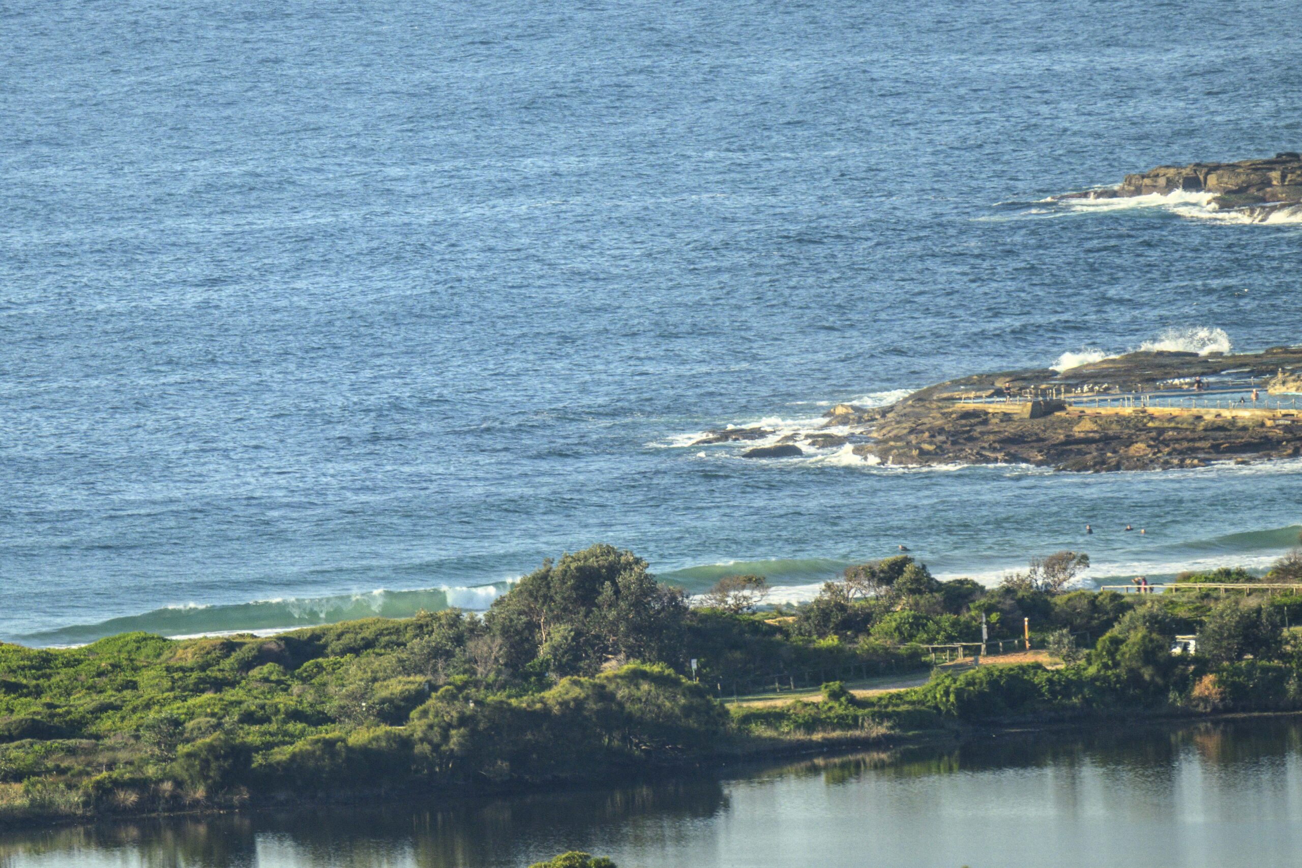
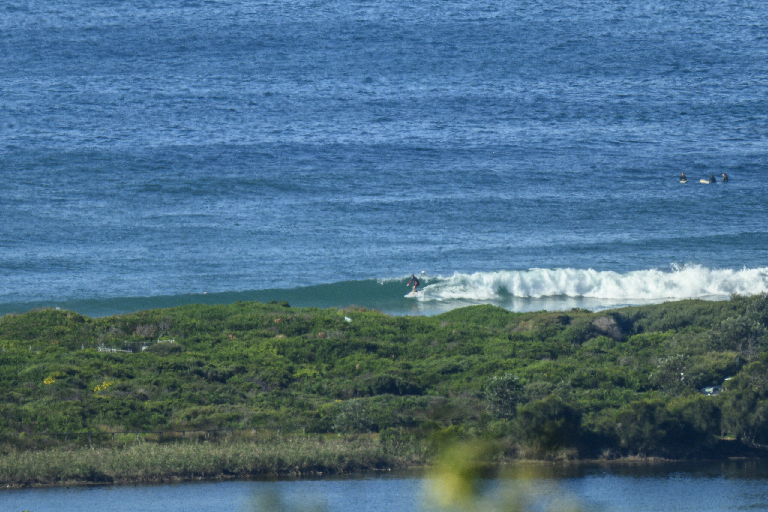
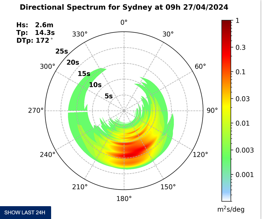
The Bureau was calling for southerlies today, but this morning started out with westerlies and that was a good thing for the declining swell. Sets were in the head high plus range at Dee Why as the day got started, but the outlook is for the swell to tail off steadily into the new week, so I’d be making plans for sooner rather than later. That said, the latest swell modelling is pointing toward some manner of surfable waves through most of the week.
Have yourself a top old Monday one and all!
TIDES: L @1035 H #1715
Weather Situation
A strong high pressure system over western Victoria extends a ridge towards New South Wales as a deep low in the eastern Tasman Sea slowly moves eastwards. As the high moves slowly east, wind will ease further over coastal waters and remain relatively light over most waters until later in the week.
Forecast for Monday until midnight
Winds
South to southwesterly 10 to 20 knots decreasing to variable about 10 knots in the afternoon.
Seas
1 to 1.5 metres decreasing to below 1 metre during the morning.
Swell
Southerly 2 to 3 metres.
Weather
Large swells breaking dangerously close inshore in the morning.
Tuesday 14 August
Winds
West to northwesterly below 10 knots, increasing up to 20 knots in the evening, then easing to 10 to 15 knots.
Seas
Below 1 metre increasing up to 1.5 metres later in the evening.
Swell
Southeasterly about 2 metres.
Wednesday 15 August
Winds
Northwesterly 15 to 20 knots tending westerly during the morning then decreasing to variable about 10 knots during the day.
Seas
Up to 1.5 metres.
Swell
Southeasterly about 1.5 metres.


