Hello Friends,
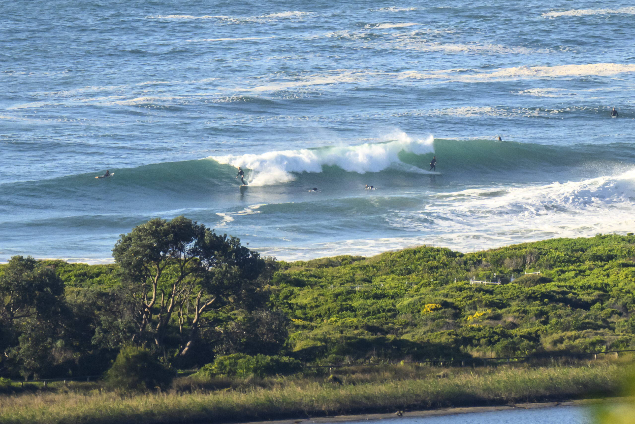
The forecast calls for a shower or two clearing this afternoon, but there wasn’t a cloud in the sky at 0700. Nor, sadly was there a wave on the beach at Dee Why. Swell seems to have faded away to nothing – as the forecast said it would. Looks like a day for a paddle if you’re desperate to get wet.
Looks to me from the latest swell modelling as though we might get a brief little window of surfability around Sunday and then it could be very small to flat for at least a week.
Oh well, only thing to do is keep on smilin’ as we wait for the next low pressure system to come our way…
TIDES: H @0750, L @1340
Weather Situation
A strong cold front will cross NSW today, with northwesterly winds strengthening over most coastal waters during the afternoon then tending more westerly. A low pressure system is expected to develop east of Bass Strait tonight, then move only slowly to the east on Saturday with strong southwest winds over southern and central waters. Winds will ease Sunday as the low moves southeast and a high moves over the state.
Forecast for Friday until midnight
Winds
Northwesterly 15 to 25 knots increasing to 20 to 30 knots in the early afternoon.
Seas
1 to 1.5 metres increasing to 1.5 to 2 metres during the morning then increasing to 3 metres during the afternoon.
Swell
Southeasterly about 1 metre tending easterly 0.5 metres this afternoon and evening.
Weather
The chance of thunderstorms offshore from the late morning until evening.
Saturday 18 August
Winds
Westerly 20 to 30 knots tending west to southwesterly 20 to 25 knots in the late afternoon.
Seas
Up to 3 metres.
Swell
Easterly 0.5 metres.
Sunday 19 August
Winds
West to southwesterly 15 to 20 knots turning southerly 10 to 15 knots during the afternoon.
Seas
Up to 1.5 metres.
Swell
Southeasterly about 1.5 metres.

