Hello Friends,
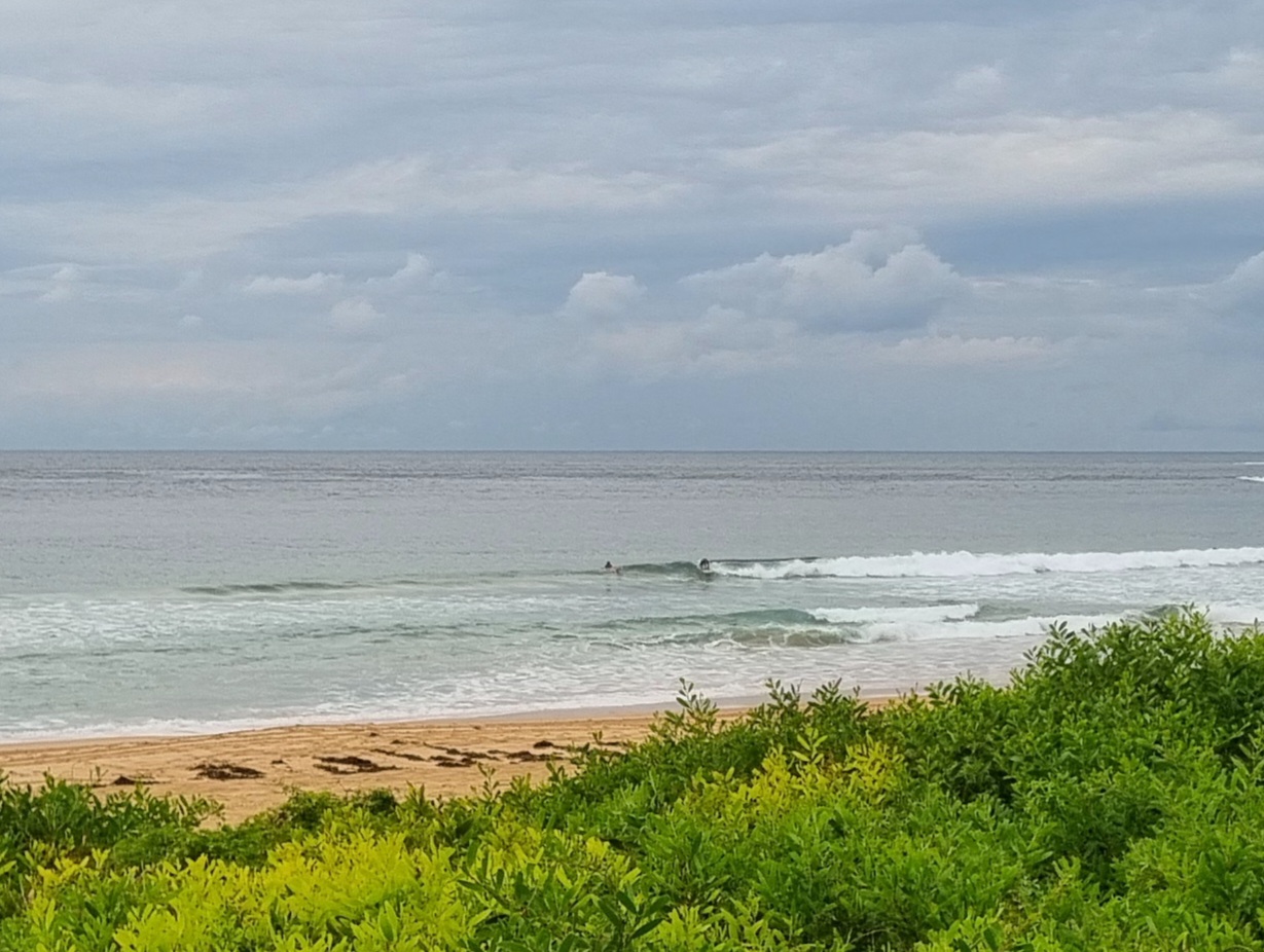
We stagger on through the flatness. This morning sees the horizon just as smooth as ever and down at Dee Why only a fleck or two of white along the rocks at the point. Sadly, there’s nothing in the forecast to give us hope of an improvement today.
The prospects of a little bump for the weekend seem to be about the same as yesterday. There’s a consensus amongst the swell forecasters that we should get something in the waist to chest plus range for Saturday. With luck it’ll last into Sunday morning.
Have a great day everyone!
Weather Situation
A high pressure system lies over the central Tasman Sea and a cold front and associated trough lies to the west of New South Wales. Northerly winds along New South Wales coast will increase during during Wednesday ahead of the front, which is expected to bring a west to southwesterly change to southern parts of the coast Thursday morning and extending to far northern parts of the coast later on Thursday. A high pressure ridge expected to enter the west of the state following the cold front will produce a generally southwest to southeasterly airstream from Friday.
Forecast for Wednesday until midnight
Winds
Northerly 20 to 25 knots increasing to 20 to 30 knots in the late afternoon.
Seas
1.5 to 2 metres increasing to 2 to 3 metres by early evening.
Swell
Southeasterly 0.5 metres tending easterly about 1 metre from midday.
Thursday 30 August
Winds
North to northwesterly 15 to 25 knots shifting southwesterly 20 to 30 knots during the day.
Seas
Up to 3 metres.
Swell
Northeasterly 0.5 to 1.5 metres tending easterly 1 metre late in the evening.
Friday 31 August
Winds
Southwesterly 15 to 20 knots.
Seas
Up to 2 metres.
Swell
Easterly 1 metre tending southeasterly from midday.

