
Hello Friends,
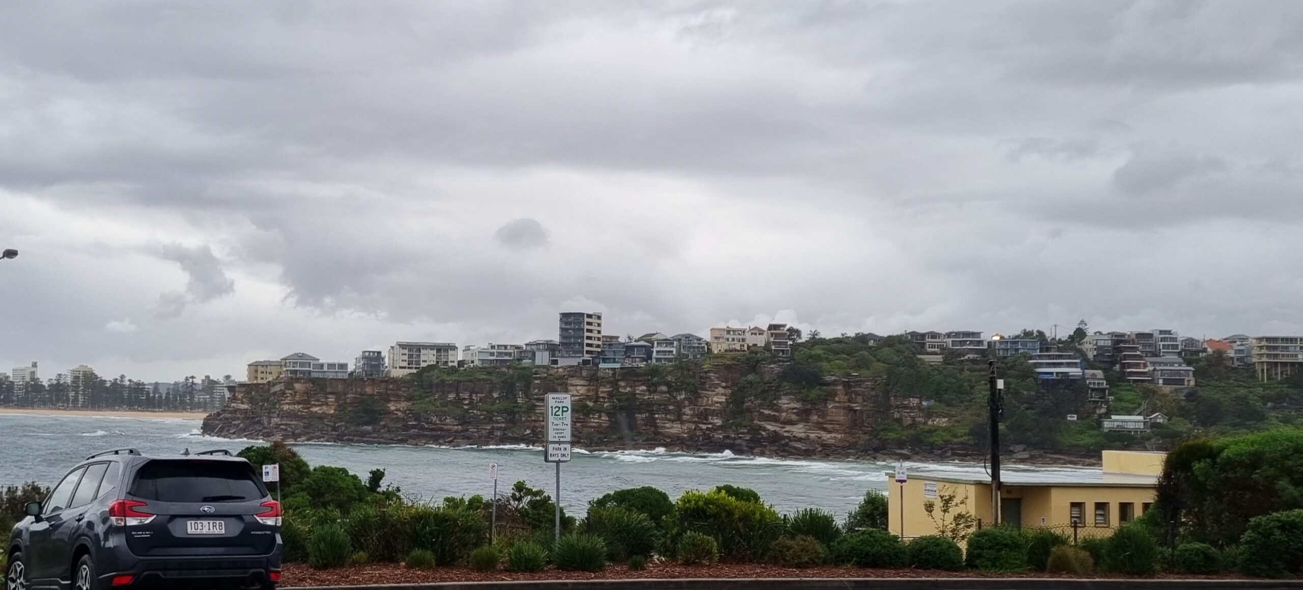
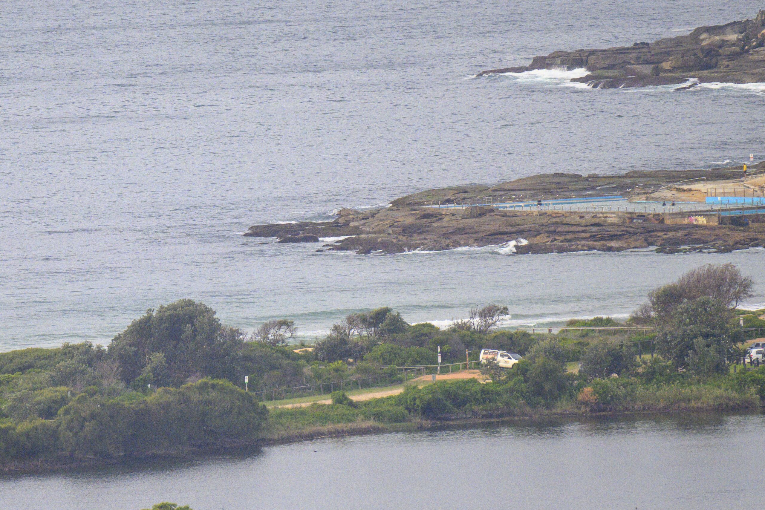
Cold and offshore but sunny skies and best of all, 2-3 metres of SSE swell at 9 seconds for this morning’s early risers. At 0700 there were head high sets along the beach at Dee Why and maybe slightly smaller ones at the point. Despite the single digit air temps, there were plenty of folks chasing waves. And from the look of the forecasts, there could well be fun stuff around all day at south swell spots.
From the look of this morning’s swell forecast modelling, today could be the peak for the next week or so. I don’t think it’ll drop to flat right away, so with a bit of luck there’ll be surfable somethings tomorrow and maybe even Sunday morning.
Go well one and all!
TIDES: H @0645, L @1230
Weather Situation
A high pressure ridge has extended into the state from the west in a wake of the recent cold front. This ridge is expected to remain overhead through the weekend, promoting generally light to moderate winds along the coast. By Monday winds will turn more northerly again as the high moves to the Tasman Sea.
Forecast for Friday until midnight
Winds
Southwesterly 15 to 25 knots decreasing to variable about 10 knots in the early afternoon then becoming west to northwesterly 10 to 15 knots later in the evening.
Seas
Up to 2 metres decreasing to below 1 metre during the afternoon.
Swell
Southerly about 2 metres.
Saturday 15 September
Winds
West to southwesterly 10 to 15 knots shifting east to southeasterly below 10 knots during the day.
Seas
Below 1 metre.
Swell
Southerly about 1.5 metres.
Sunday 16 September
Winds
East to northeasterly 5 to 10 knots becoming northeasterly up to 15 to 20 knots during the afternoon.
Seas
Below 1 metre increasing to 1 to 1.5 metres during the evening.
Swell
Southerly 1.5 metres.


