Hello Friends,
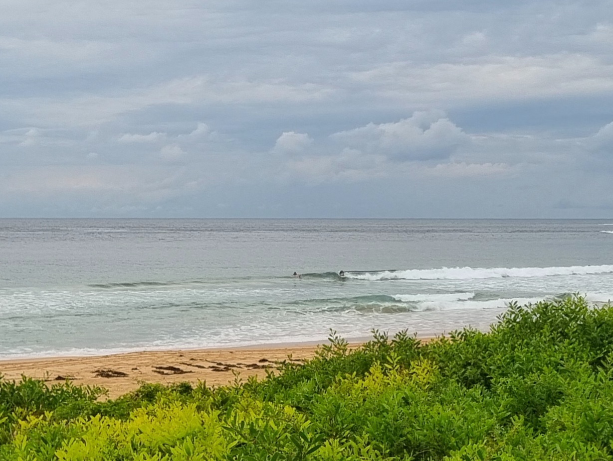
With onshores on the forecast today, the plan is/was to get down to your favourite south swell spot immediately. At Dee Why the early risers were picking up the occasional chest high set along the beach. A pair of SUPsters were poking around the point in search of a little roller along the rocks.
When the wind arrives later, I’d say the number of surf options will shrink to not much of anything. The models are showing the swell getting a little kick from the wind change, so, with any luck tomorrow morning will offer a few fun options at south spots.
The week ahead looks pretty dribbly according to this morning’s models. With any luck there’ll be a little something for the early most mornings though.
There’s plenty of activity in the southern ocean on the forecasts, but being spring time, it’s all staying away from the east coast swell window.
So it goes. Enjoy what we have says I!
Tide is high at 0730 and low at 1320.
Weather Situation
A high pressure system centred near Adelaide extends a ridge across New South Wales, promoting generally light to moderate winds along the coast. This ridge will drift slowly east through the weekend, with winds turning northeasterly on Sunday as the high reaches the Tasman Sea.
Forecast for Saturday until midnight
Winds
South to southeasterly about 10 knots increasing to 15 to 20 knots in the morning then decreasing to east to southeasterly about 10 knots in the evening.
Seas
Below 1 metre.
Swell
Southerly about 1.5 metres.
Sunday 16 September
Winds
Variable about 10 knots becoming northeasterly 10 to 15 knots in the middle of the day.
Seas
Below 1 metre increasing to 1 to 1.5 metres by early evening.
Swell
Southerly 1.5 metres.
Monday 17 September
Winds
Northeasterly 15 to 20 knots.
Seas
Below 1 metre increasing to 1.5 metres during the evening.
Swell
Southerly about 1.5 metres.
Weather
The chance of thunderstorms.

