Hello Friends,
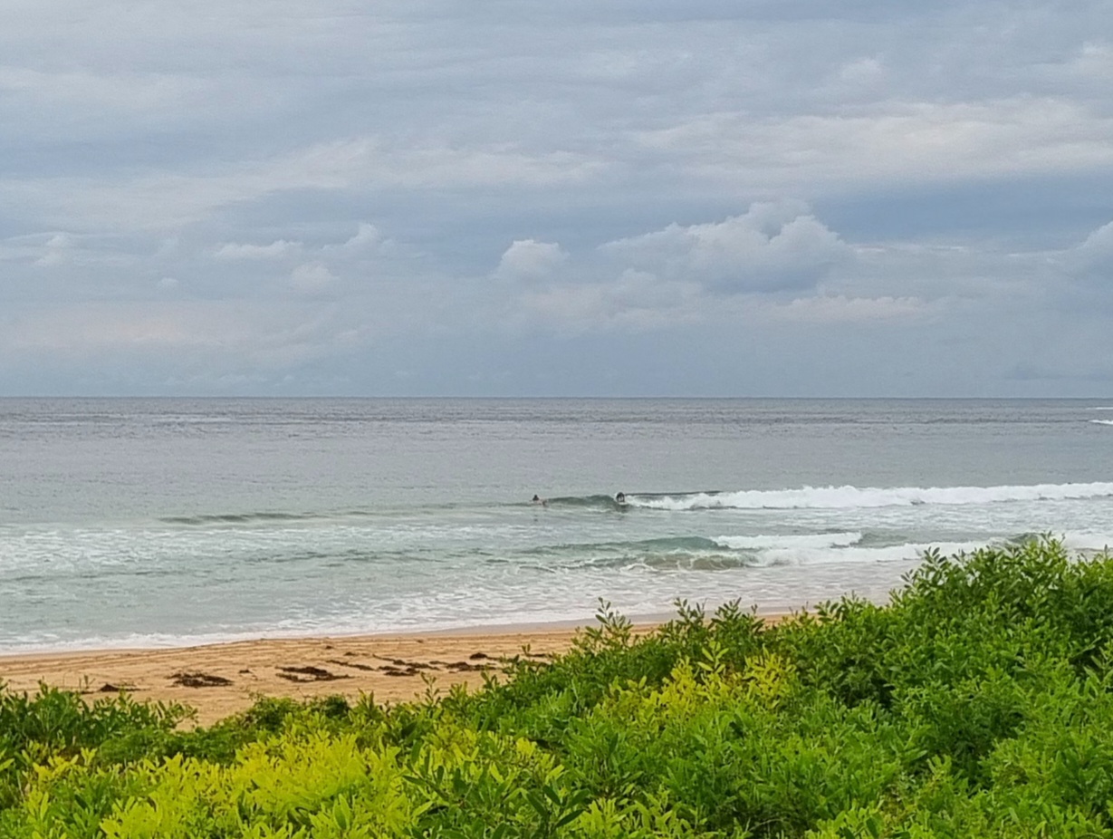
With only 1.5 m of 7-second period south swell, there really is not much going on at Dee Why – and I’d guess other spots will be the same along the Sydney coast. There might possibly be a little bump at really exposed spots, but I reckon anything above knee high would be a real find.
To the extent it matters, tide is low at 0850 and high at 1520. There’s not much of a swing between the two either.
There’s a small hope that tomorrow could see a little uptick in energy levels, but it doesn’t look as though the improvement will be too dramatic. My hope is for the odd waist high plus option on Tuesday morning.
Outlook for the remainder of the week is as it has been, namely small to near flat. As of this morning’s run of the swell modelling, tomorrow seems to be the best option over the coming 5 days or so.
Have yourself a great Monday!
Weather Situation
A cold front is crossing the western Tasman Sea bringing southerly change along New South Wales coast and a high pressure system south of the Bight is extending a ridge behind the front. The high is moving slowly east and by Wednesday it will be centred over the Tasman Sea.
Forecast for Monday until midnight
Winds
South to southwesterly 10 to 20 knots turning southeasterly 15 to 20 knots in the afternoon.
Seas
1.5 to 2 metres.
Swell
Easterly about 1.5 metres.
Tuesday 25 September
Winds
Southeasterly 15 to 20 knots becoming variable about 10 knots in the morning.
Seas
1 to 1.5 metres decreasing to below 1 metre later.
Swell
Easterly 1 metre tending southerly 1.5 metres from the morning.
Wednesday 26 September
Winds
Northeasterly about 10 knots increasing to 15 to 20 knots during the day.
Seas
Below 1 metre increasing to 1 to 1.5 metres during the evening.
Swell
Southerly about 1.5 metres.

