Hello Friends,
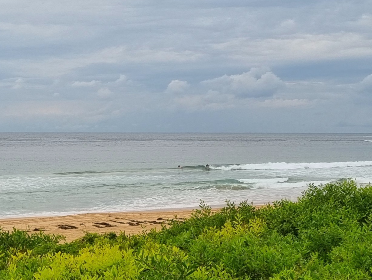
Yesterday morning I was getting a little hopeful about this morning’s prospects. Alas, the swell has moved around to the south but it hasn’t picked up at all. It’s showing about a metre as of 0700, but the average period is only about 7 seconds. Buoy data from south of Sydney is showing a slightly longer period, but the average swell height is about the same as in Sydney. There is some longer period (10sec) stuff showing down south, so there is some prospect of a little improvement later… I hope!
Tide is high at 0800 and low at 1415.
The Bureau’s swell model is pointing toward an uptick by tomorrow morning – but there will also be 10-15 kts of S-SE wind.
Keep an eye on it I’d say, and maybe this evening or tomorrow morning will see something at least slightly interesting turn up.
The long range swell modelling is still showing some interesting stuff for next weekend.If they have it right, we could see some solid south swell pushing in around Sunday…

Weather Situation
The low to the south of Tasmania moves southeastwards and away from Australia. A high will strengthen over southeast Australia over the next few days, producing relatively light winds over NSW waters, tending easterly in the north and westerly in the south.
Forecast for Sunday until midnight
Winds
West to southwesterly 15 to 20 knots turning south to southeasterly in the early afternoon. Inshore sea breezes.
Seas
Up to 1.5 metres.
Swell
Southeasterly about 1.5 metres.
Monday 1 October
Winds
South to southeasterly 10 to 15 knots.
Seas
Below 1 metre.
Swell
Southerly about 2 metres.
Tuesday 2 October
Winds
Southerly 15 to 20 knots decreasing to variable about 10 knots during the day.
Seas
Up to 1.5 metres.
Swell
Southerly 1.5 metres.

