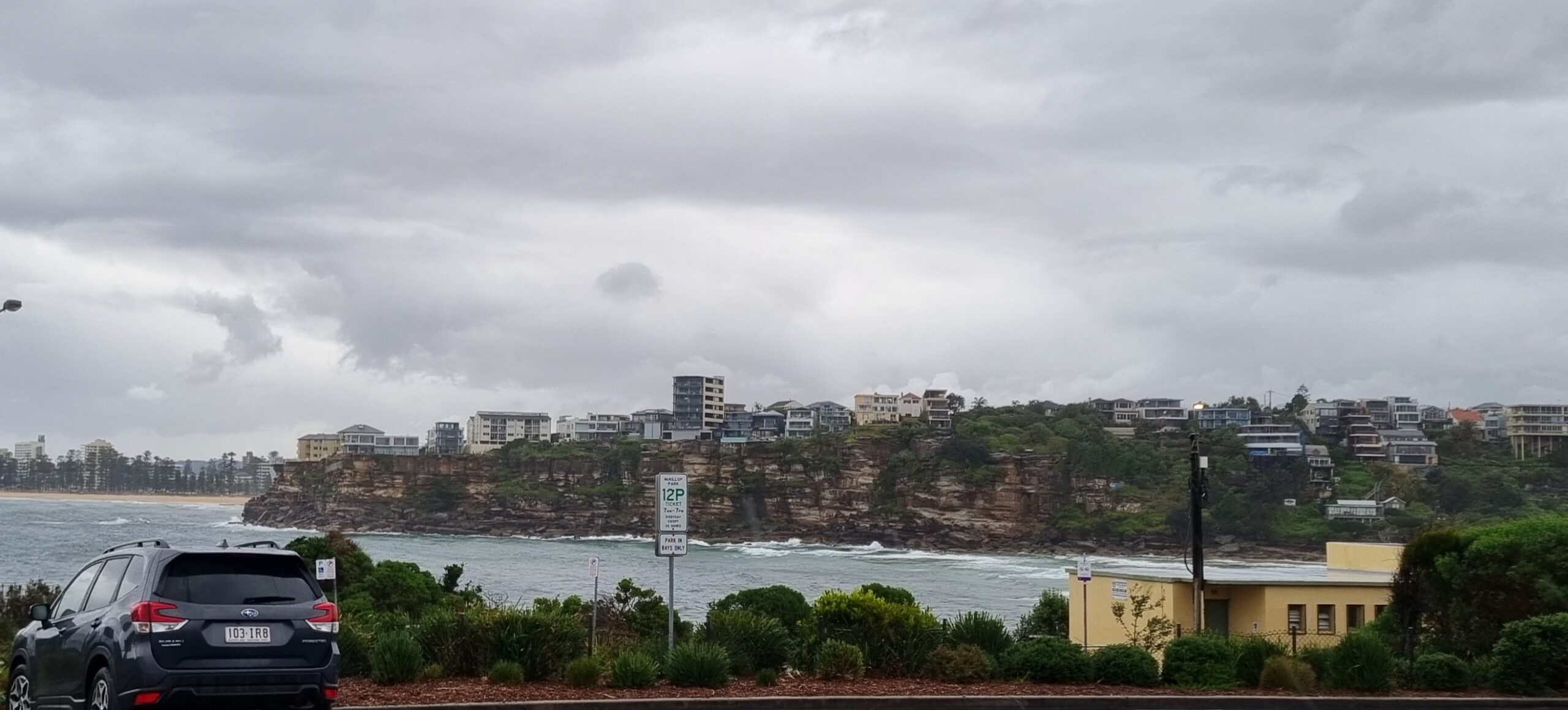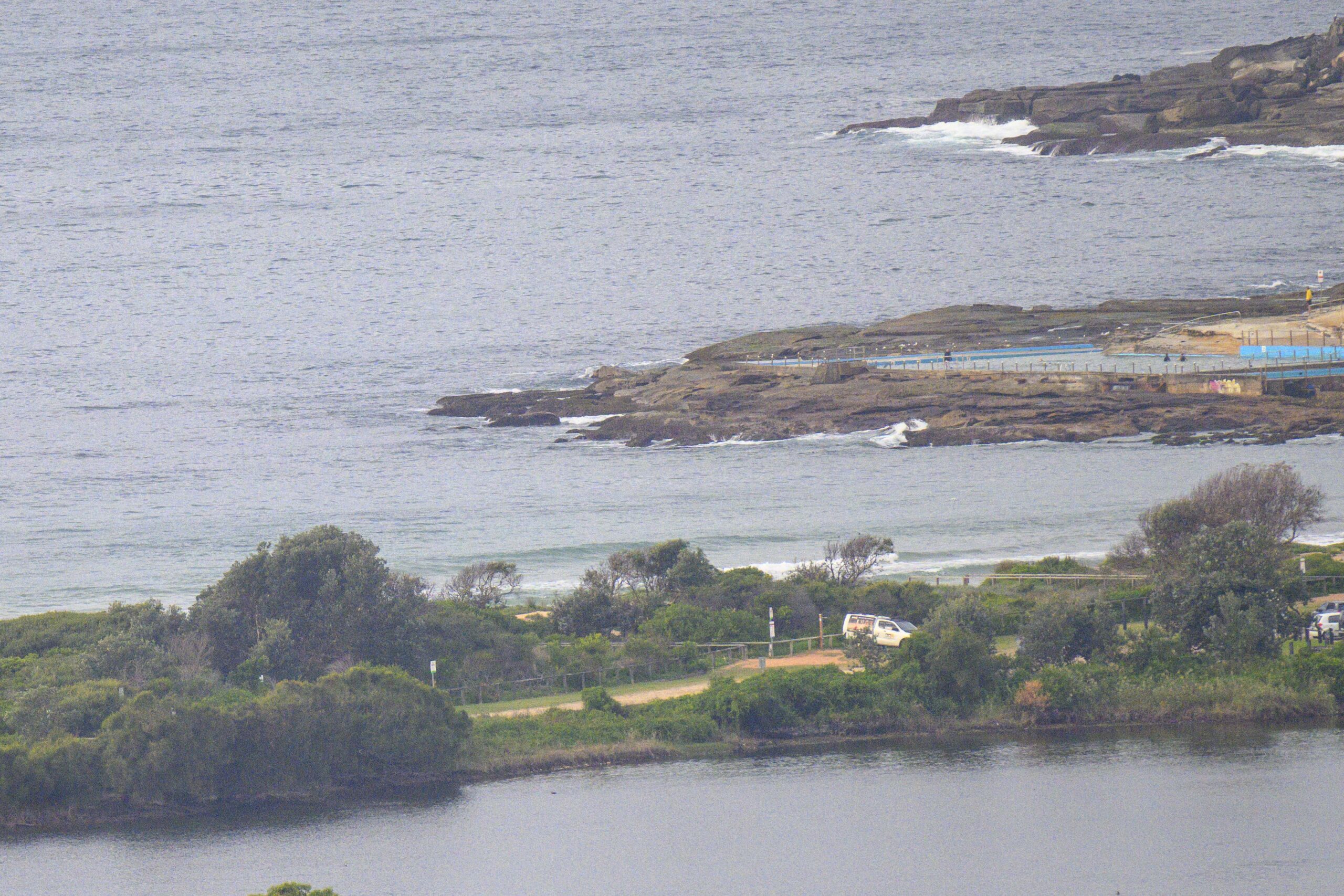

Hello Friends,
Interesting. The swell modelling yesterday was pointing toward near flatness from today onward, but happily there were some little SE waves around for lucky early risers. And this was despite the high tide. Wind’s are set to stay out of the northerly quarters (NW early, then going NE and picking up significantly into the 20-30 kt range.
The swell models haven’t changed their tune this morning. In fact, it’s a bit of a dirge for the next week really. But there are little waves to be had now, so I’d try to get amongst it asap. Tomorrow’s set to go southerly but there might be a little left over NE wind swell at daybreak (assuming that wind comes up as predicted and assuming it pushes up something with a little persistence).
Hope your Monday goes well!
Tide was high at 0620 and will be back to low at 1240.
Weather Situation
A high pressure system centred off the New South Wales coast extends a ridge over the state. A trough will bring a southerly change to the southern coast late today, extending through central parts during Tuesday. Winds will then turn northeasterly again ahead of a more significant frontal system at the end of the week.
Forecast for Monday until midnight
Winds
North to northeasterly 15 to 20 knots becoming northeasterly 20 to 30 knots in the afternoon and evening.
Seas
Up to 1.5 metres increasing to 2 to 3 metres by evening.
Swell
Southeasterly about 1.5 metres.
Tuesday 13 November
Winds
Northerly 15 to 20 knots shifting southerly in the morning.
Seas
Up to 2 metres decreasing to below 1 metre during the afternoon.
Swell
Easterly 1 metre tending southerly in the afternoon and evening.
Wednesday 14 November
Winds
South to southeasterly about 10 knots tending easterly 10 to 15 knots during the afternoon then tending northeasterly during the evening.
Seas
Below 1 metre.
Swell
Southerly 1 metre.


