Hello Friends,
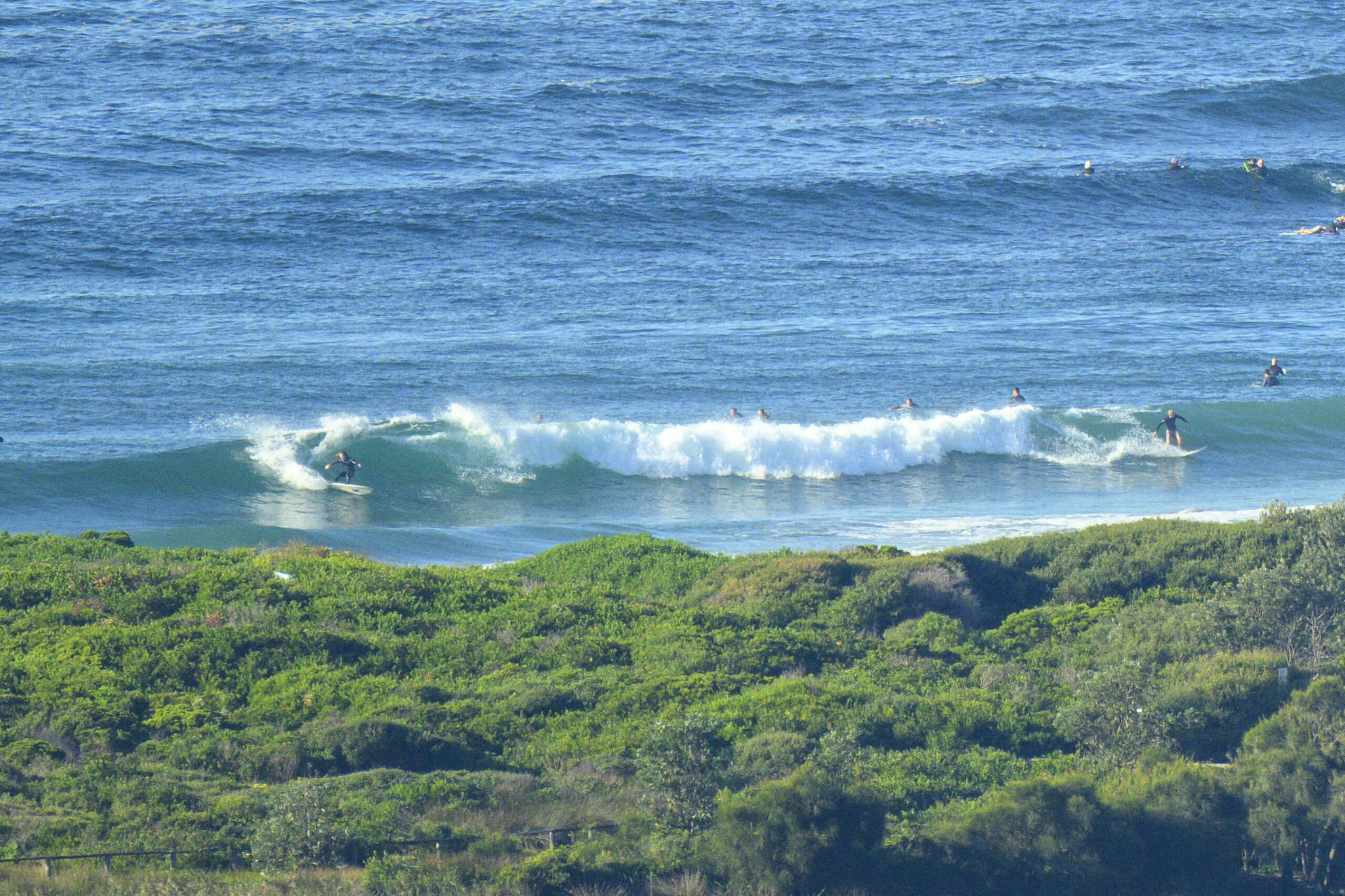
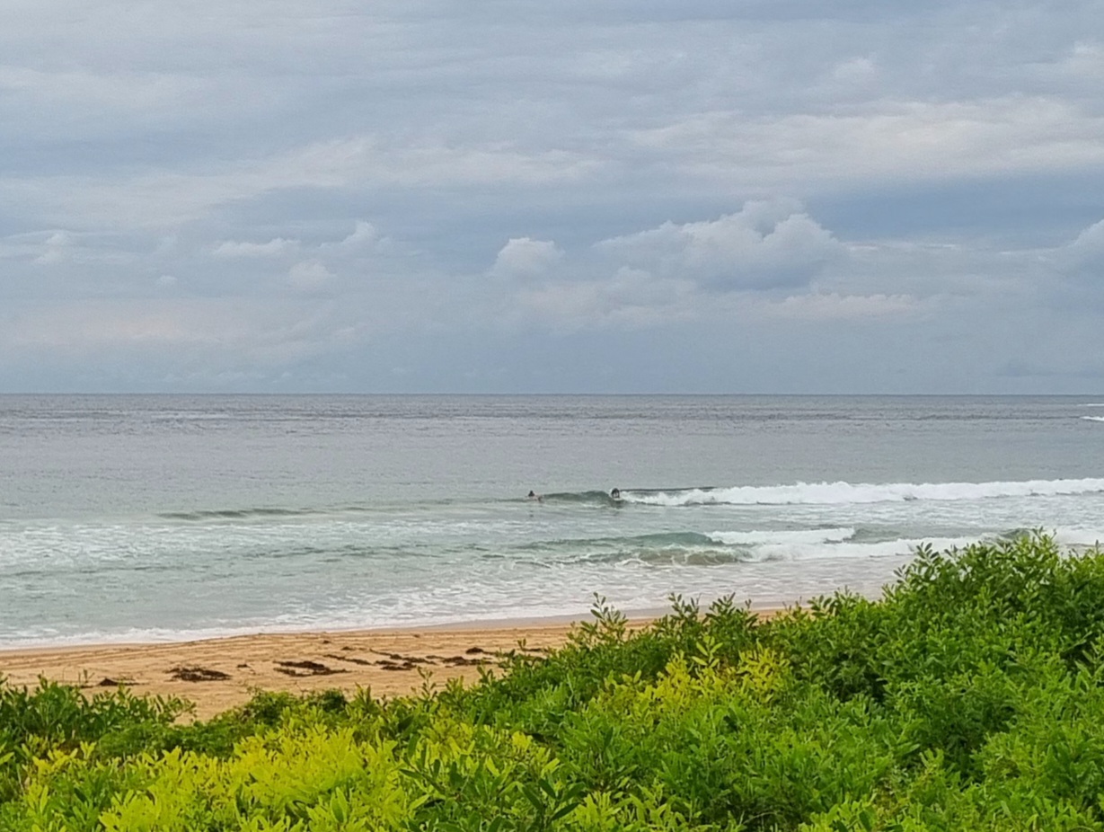
A textbook summer’s Sunday morning in Sydney. A metre of east swell is flopping in and when I checked it around 0800, the NEr was just starting to pick up. Heaps of folks in the water at Curly, Dee Why and Northy. Dee Why was the worst from a surf perspective, there were more peaks at Curly, but Northy had the slightest of edges in (crowded) quality.
The wind is expected to be a light summery 15-20kt NE’r all day.
Low tide is coming up at 0950 and 1540 will see the high.
Outlook is for the energy levels to stay about the same for the next few days. So, don’t wait for an improvement, just take it for what it is and have yourself some fun!
Weather Situation
A high pressure system is moving towards Tasmania extending a ridge along New South Wales cast behind a cold front crossing the southwestern Tasman Sea. The high will move over the Tasman Sea by Monday and then it will move east maintaining the ridge to the north coast. The next, stronger southerly change is expected to develop on the south coasts later on Tuesday extending to the central and north coasts during Wednesday.
Forecast for Sunday until midnight
Winds
East to northeasterly 10 to 15 knots.
Seas
Below 1 metre.
Swell
Easterly 1 metre.
Monday 7 January
Winds
Northeasterly 10 to 15 knots, tending southeasterly 10 to 15 knots.
Seas
Below 1 metre.
Swell
Easterly 1 metre.
Tuesday 8 January
Winds
Northerly 15 to 20 knots ahead of a southerly change 20 to 30 knots during the evening.
Seas
Below 1 metre rising to 1 to 1.5 metres during the morning and then increasing to 2 metres during the evening.
Swell
Easterly 1 metre.


