
Hello Friends,
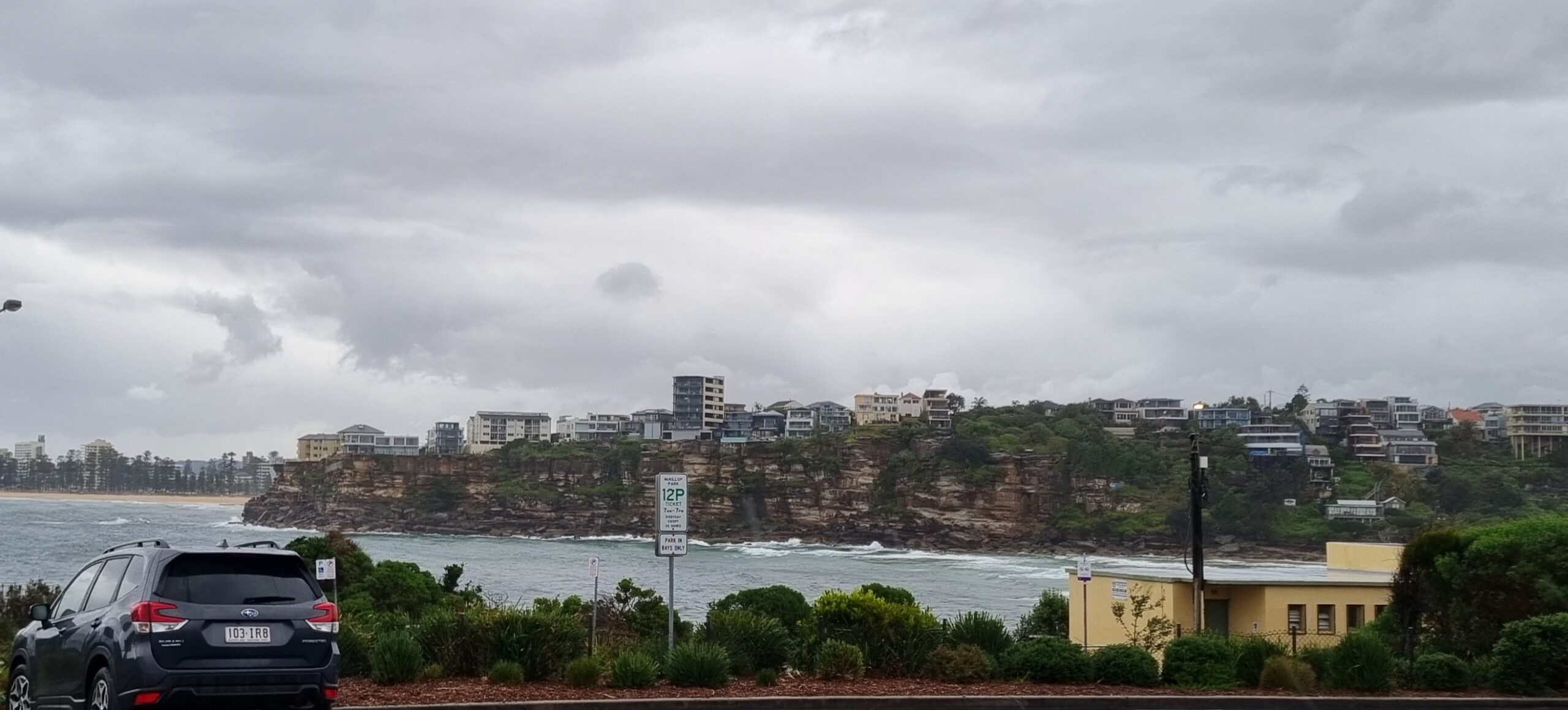
Wind was okay as Monday got started in Sydney. But Huey’s lost interest in us for the time being. There’s a metre of SE wind swell (at about 8 seconds) wafting gently into the beaches this morning. You’ll do well if you can find something waist high. And then, it’s likely to be just about to close out weakly just off the beach. So, not really a great day for a wave.
Looking ahead, I’m talking myself into believing that we might just be seeing a shift out of the pattern of marginalness so typical of this time of year. For starters, this morning’s forecast modelling continues to show an east coast low forming off the Qld-NSW border late Tuesday, early Wednesday. They project that it’ll be very close to the coast and that it’ll stay that way as it drops southward across the Thurs-Sat period. So, there’s good potential for sizable east energy, but with a heap of strong onshores at the same time.
Spots well protected from southerlies could be showing something relatively surfable on Thursday…maybe…
Here’s how a 3 metre east swell at 10 seconds looked back in 2009. And here’s one at 3.5 metres…
Have yourself a great Monday!
Tides: L @0930 H @1515
Weather Situation
A strong high pressure system over the western Tasman Sea extends a ridge along the New South Wales coast and is directing humid easterly winds across much of the state. The high will gradually move to the east over the next few days, with a low pressure system expected to develop off the southern Queensland coast tomorrow, then slowly track southwards into New South Wales waters by next weekend.
Forecast for Monday until midnight
Winds
Northeasterly about 10 knots increasing to 15 to 20 knots in the early afternoon.
Seas
Below 1 metre increasing to 1 to 1.5 metres later in the evening.
Swell
Easterly about 1 metre.
Weather
The chance of thunderstorms.
Tuesday 19 February
Winds
Northeasterly 15 to 20 knots decreasing to about 10 knots in the morning then increasing to 10 to 15 knots in the evening.
Seas
Up to 1.5 metres.
Swell
Easterly 1 metre.
Weather
The chance of thunderstorms until late afternoon.
Wednesday 20 February
Winds
Variable about 10 knots becoming southeasterly 10 to 15 knots during the day.
Seas
Below 1 metre.
Swell
Northeasterly about 1.5 metres.
SummaryMax 26Shower or two.Chance of any rain: 80%Rainfall amount: 1 to 3 mm
Sydney area
Partly cloudy. Isolated showers developing during the morning, more frequent along the coastal fringe. Light winds becoming easterly 15 to 20 km/h in the late afternoon then tending northeasterly in the evening.
Fire Danger – Low-Moderate
UV Alert from 9:30 am to 4:50 pm, UV Index predicted to reach 10 [Very High]
Around Sydney
Precis Icon Location Min Max
Sydney – 26
Penrith – 27
Liverpool – 27
Terrey Hills – 25
Richmond – 27
Parramatta – 27
Campbelltown – 27
Bondi – 24


