Hello Friends,
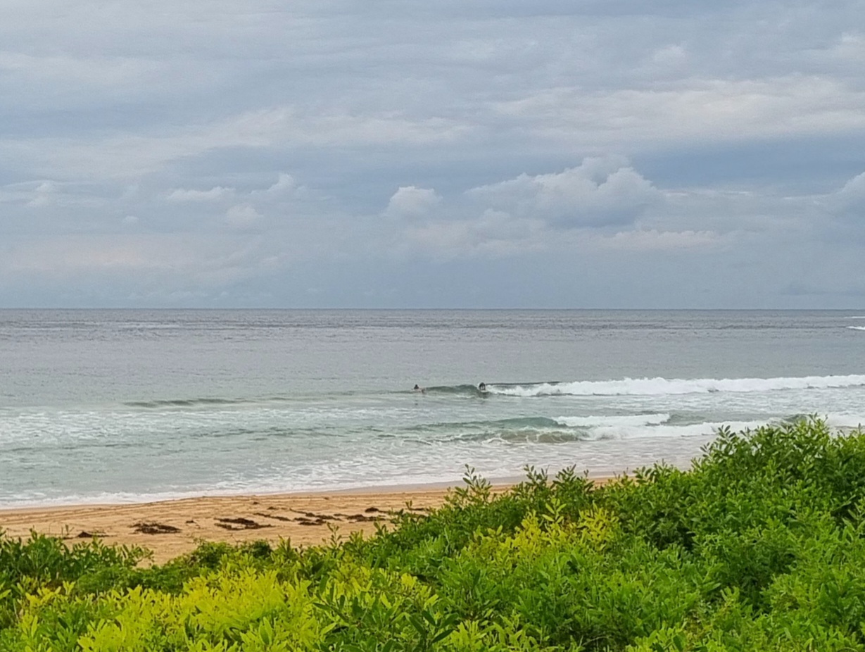
Disappointing offering from Huey this morning at Dee Why. Couldn’t see anyone in the water at 0715. Given the high tide and the fact that the swell has decayed into a weak 1.5 metre, ENE’r at about 8 seconds apart. Wind was out of the NE at around 10 knots, so you might have a better shot in one of the semi-exposed NE corners.
Also decaying is the outlook for the end of the week. After projecting reasonable conditions for the end of the week, they’ve gone all bleak on us. The southerly is expected to go pretty hard from Friday through to Monday. Worse, the models are showing the coming week being quite small in the run up to the arrival of the southerly. Hope they’re wrong!
Have fun with you Monday!
Sydney area
Mostly sunny morning. Isolated showers and possible thunderstorms in the afternoon, more likely in the west. Winds northeasterly 15 to 25 km/h, reaching 25 to 40 km/h near the coast.
Tides: H @0850, L @1515
Weather Situation
A low pressure trough lies over western New South Wales, while a strong high near New Zealand extends a ridge across the Tasman Sea. This high will continue to direct a vigorous north to northeasterly airstream along the coast during the next few days. A cold front is expected to bring a southerly change during the second half of the week.
Forecast for Monday until midnight
Winds
Northeasterly 15 to 25 knots.
Seas
2 metres.
Swell
Easterly 1.5 metres.
Weather
The chance of thunderstorms.
Tuesday 26 February
Winds
Northeasterly 15 to 25 knots.
Seas
1 to 2 metres.
Swell
Easterly 1.5 metres.
Wednesday 27 February
Winds
Northeasterly 15 to 25 knots.
Seas
1.5 to 2 metres.
Swell
Easterly about 2 metres.

