Hello Friends,
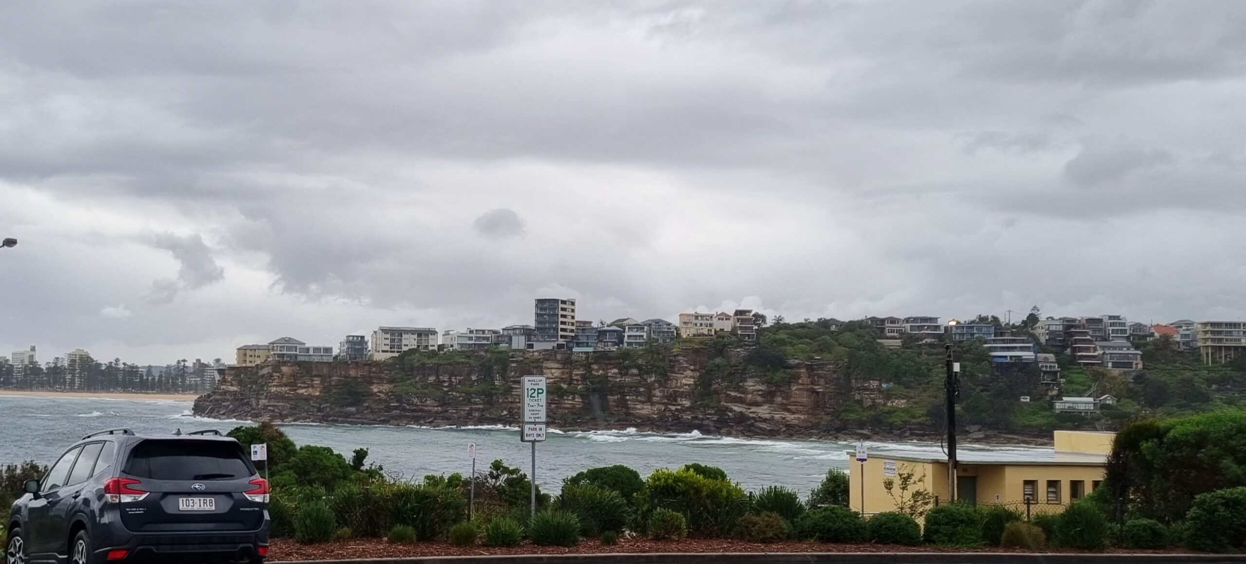
Looks as though the plan is to get in this morning while the little east swell isn’t getting knocked about by the wind too badly. The Bureau says the wind should be north until the vigorous south change arrives this afternoon. However, my anemometer is showing a light NE breeze and the Bureau says North Head is around 10kts from the NNE. So, head to the northern ends I guess.
Set waves seem to be around the waist to chest mark at Dee Why. They don’t have a tremendous amount of power, but they’re catchable if you’re keen. And once the southerly arrives, I don’t think there’ll be too many alternatives. And, if the forecasts are right, we’re facing a week of onshores with the only prospect of a wave being in the protected corners.
Tide is high at 1045 and low at 1700. Rain will develop by midday as the 20-30 kt southerly kicks in.
Have yourself a top old Thursday and keep on smilin’!
Weather Situation
A strong high near New Zealand extends a ridge to New South Wales north coast. The high direct a north to northeasterly airstream towards most of the coast at the moment. A cold front is expected to bring a southerly change currently on the south coast to the central parts by the end of Thursday. A low may form just off the Mid North coast and delay an advancement of southerlies towards the north. Southeasterly airstream is expected to dominate most of the coming weekend.
Forecast for Thursday until midnight
Winds
Northerly 15 to 25 knots shifting southerly 20 to 30 knots in the late afternoon.
Seas
1 to 2 metres increasing to 2 to 3 metres by early evening.
Swell
Easterly about 1.5 metres.
Weather
The chance of thunderstorms.
Friday 1 March
Winds
South to southeasterly 25 to 30 knots.
Seas
2 to 3 metres.
Swell
Easterly 1 to 2 metres.
Saturday 2 March
Winds
Southeasterly 20 to 30 knots.
Seas
2 to 3 metres.
Swell
Easterly 2 metres.


