Hello Friends,
If you couldn’t surf today, what would you do? Well, do that. 🙂
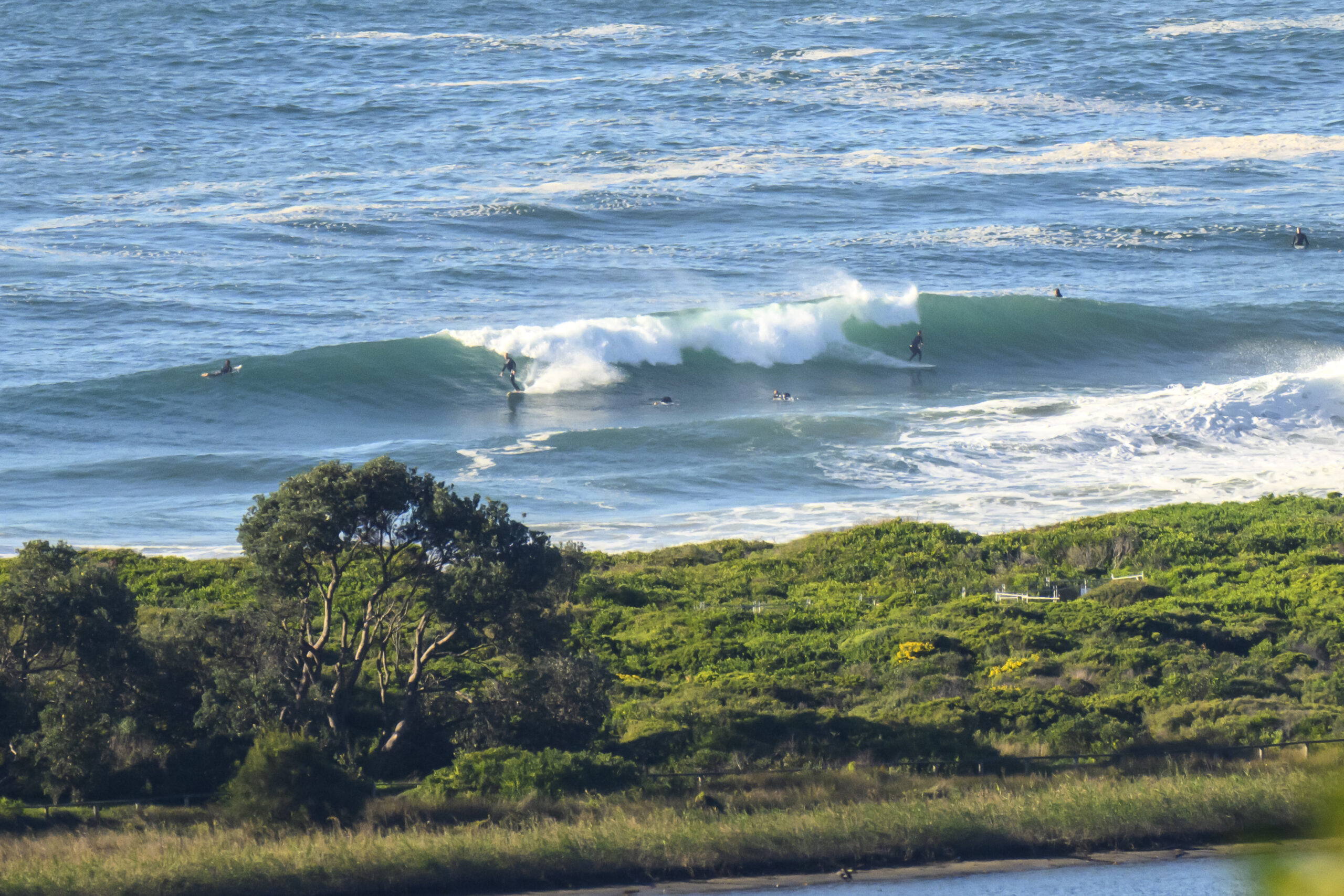
We have a faint 7 second period SE wind swell lapping feebly into the beaches of Sydney on this warm autumn morning. Tide was high at about 10 to 7 and will be dropping to low at 1320 or so. Not that it matters too much. Wind will get around to the NE by lunch, but it’s not likely to kick up much in the way of extra energy for us.
This morning’s run of the swell forecast interpretations points to another week at least of marginal to flat conditions for the entire east coast. We should have some tiny east wind swell in the mornings, but really, I think we’ll be getting in the water for the paddling exercise as much as anything.
C’mon autumn, let’s get going already!
Have yourself a great Sunday one and all.
Weather Situation
A high pressure system near New Zealand is maintaining a ridge to the northwest Tasman Sea, while a low pressure trough lies over northeast New South Wales. The trough is expected to weaken over the northern coast during Sunday as another high pressure system approaches from the west. As this high shifts to the Tasman Sea early in the new week, northerly winds will increase along the coast ahead of the next cold front and southerly change, expected during Thursday and Friday.
Forecast for Sunday until midnight
Winds
Variable about 10 knots becoming northeasterly 10 to 15 knots in the afternoon then tending northerly in the late evening.
Seas
Below 1 metre.
Swell
Northeasterly 1 metre.
Weather
The chance of thunderstorms offshore this morning.
Monday 25 March
Winds
Variable about 10 knots becoming south to southwesterly 10 to 15 knots in the morning then shifting easterly in the afternoon.
Seas
Below 1 metre.
Swell
Easterly 1 metre.
Tuesday 26 March
Winds
Northeasterly 10 to 15 knots increasing to 15 to 20 knots in the afternoon.
Seas
1 to 1.5 metres.
Swell
Easterly 1 metre.

