Hello Friends,
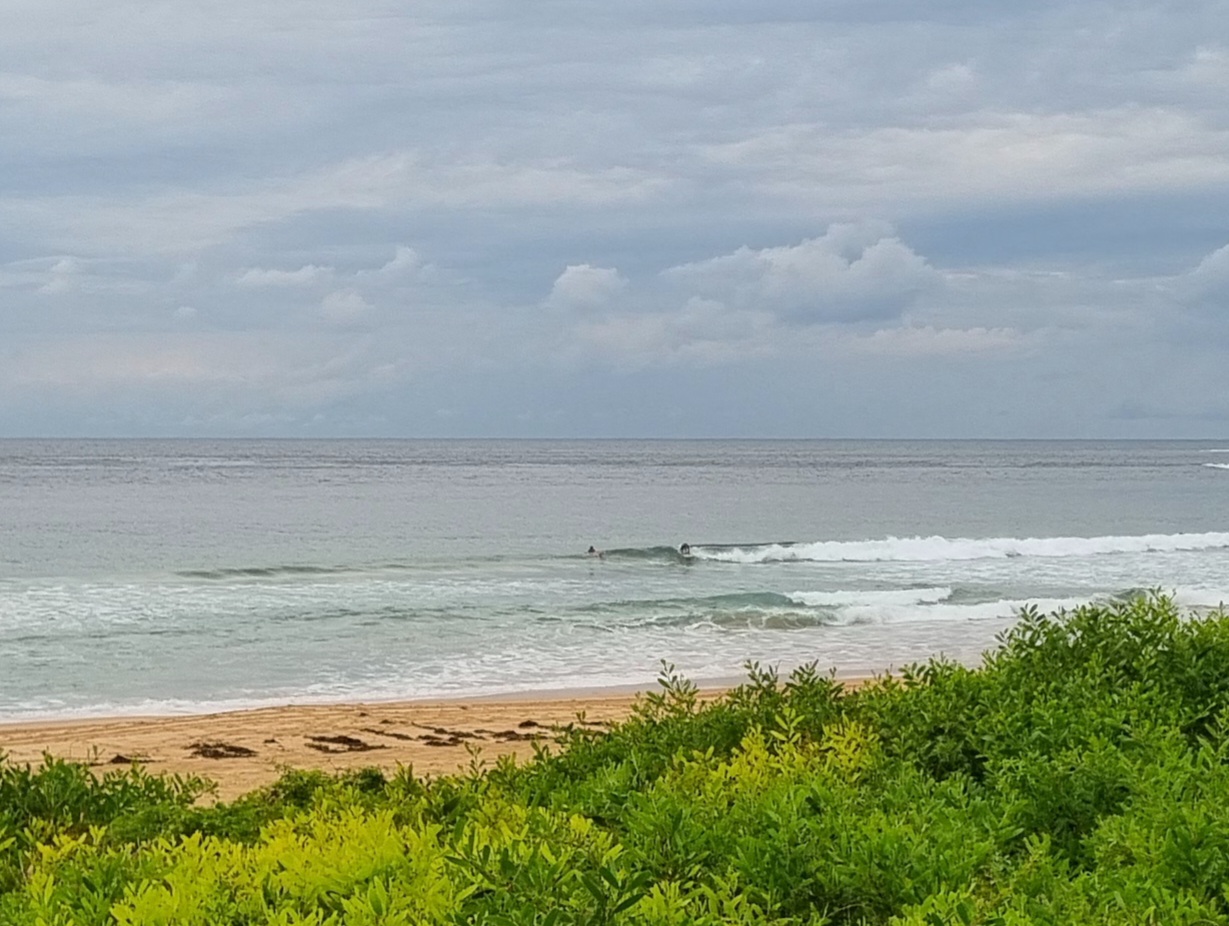
High tide isn’t far off (@0940) as I write this. So everything is pretty full and going to stay that way until late morning. On the plus side, the swell energy level has improved a touch. It’s averaging nearly 2 metres from the NE at 8 seconds and the wind is supposed to stay northerly at 15-25 kts through the day. It should be sunny this morning, but there’s a 90% chance of rain this evening.
So, not amazingly hopeful or anything, but there might be a little something here and there if you look, particularly as the tide starts to drop again.
We go into a southerly regime tomorrow and while that might bump things up a touch here or there, the prospects are not great. Knee to waist plus generally I’d say.
Have yourself a good Thursday!
Weather Situation
A cold front will bring gusty southerly change to New South Wales south coast this afternoon extending to the far north coast Friday morning. Behind the change a weak high pressure ridge will develop over the western Tasman Sea on Saturday.
Forecast for Thursday until midnight
Winds
Northerly 15 to 25 knots.
Seas
1.5 to 2 metres.
Swell
Easterly about 1.5 metres.
Friday 29 March
Winds
South to southwesterly 25 to 30 knots, decreasing to 15 to 25 knots in the morning.
Seas
1 to 2 metres increasing to 3 metres in the early morning then decreasing to 1.5 metres during the afternoon.
Swell
Northeasterly 1.5 metres tending southeasterly about 2 metres from midday.
Weather
The chance of thunderstorms offshore early in the morning.
Saturday 30 March
Winds
Variable about 10 knots becoming north to northeasterly 10 to 15 knots during the afternoon.
Seas
Below 1 metre.
Swell
Southerly about 2 metres.

