
Hello Friends,
Sorry about the silence from your humble servant. I’m back on the other side of the planet again on family business. Looks like you’ve had nice little waves in Sydney, but I’m thinking from the look of the WRL cam at south Narra, it’s not going to be too red hot today for you.
There’s hardly any swell showing on the MHL buoy. When I checked it at about 1000, the average height at sea was less than a metre at 8 seconds from the SE. And judging from the Bureau’s latest call, there isn’t much prospect of a significant improvement over the next three days. And, if the latest swell modelling is right, there won’t be much of anything for the coming week (or more).
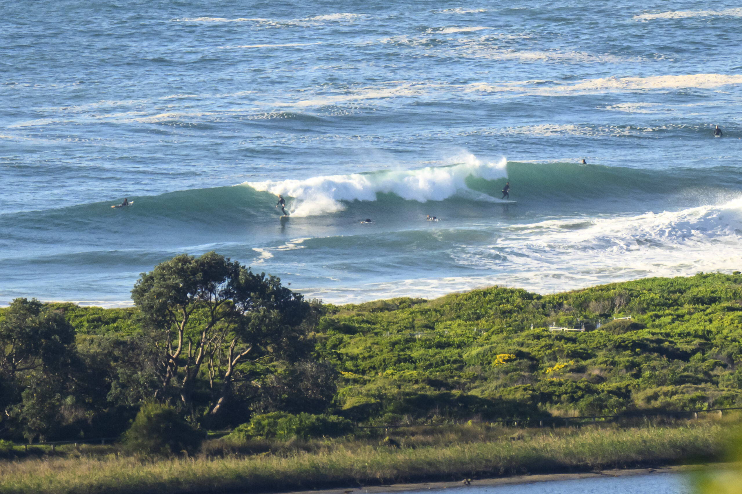
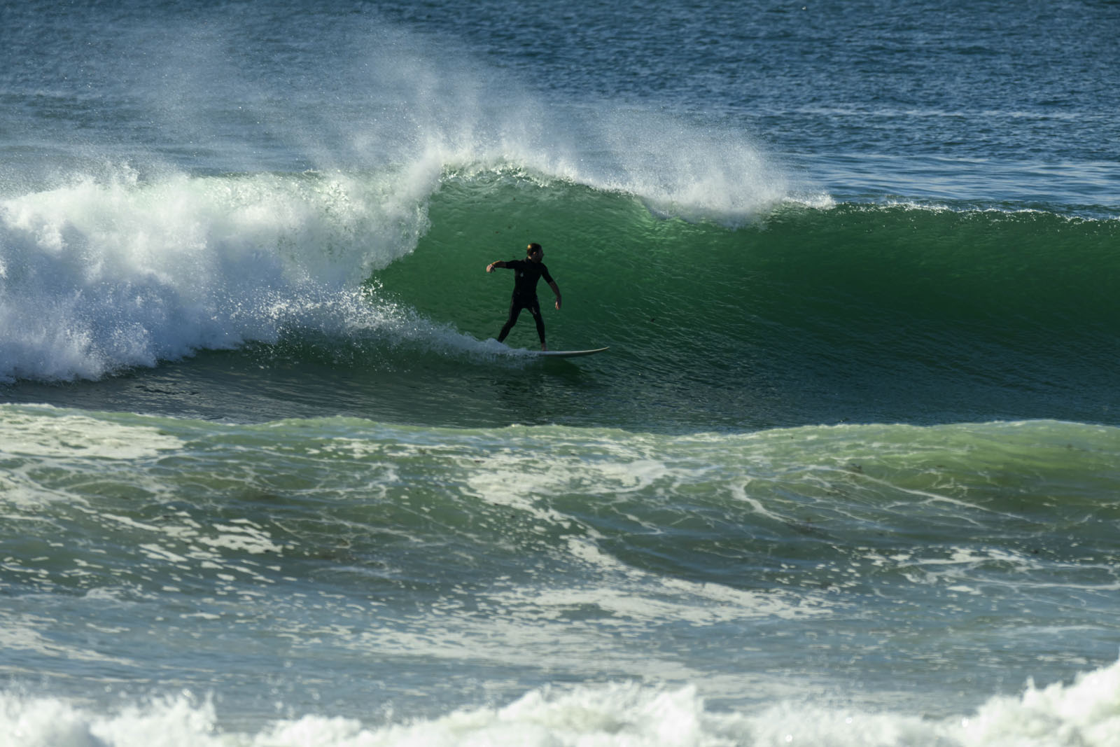
Meanwhile Santa Barbara’s not a lot better than Sydney. We’re having strong wind for the next few days, so yours truly probably won’t be getting wet. Water temps are around the 15 degree mark which, like the wind, is pretty typical for this place in April. Unusually warm here too. Tossed in a snap I took up north of Santa Barbara on a stretch of coast that sometimes gets a little wind swell wave under these conditions. Sadly, today wasn’t really firing up at all.
Oh and here’s the latest marine forecast from the Bureau…
Have a great Monday!
Weather Situation
A broad high pressure ridge will linger over New South Wales directing a weak onshore airstream.
Forecast for Monday until midnight
Winds
South to southeasterly about 10 knots.
Seas
Below 1 metre.
Swell
Easterly about 1 metre.
Weather
Isolated thunderstorms offshore.
Tuesday 9 April
Winds
Variable about 10 knots.
Seas
Below 1 metre.
Swell
Easterly about 1 metre.
Wednesday 10 April
Winds
North to northeasterly about 10 knots increasing to 10 to 15 knots during the evening.
Seas
1 metre of less.
Swell
Easterly about 1 metre.


