
Hello Friends,
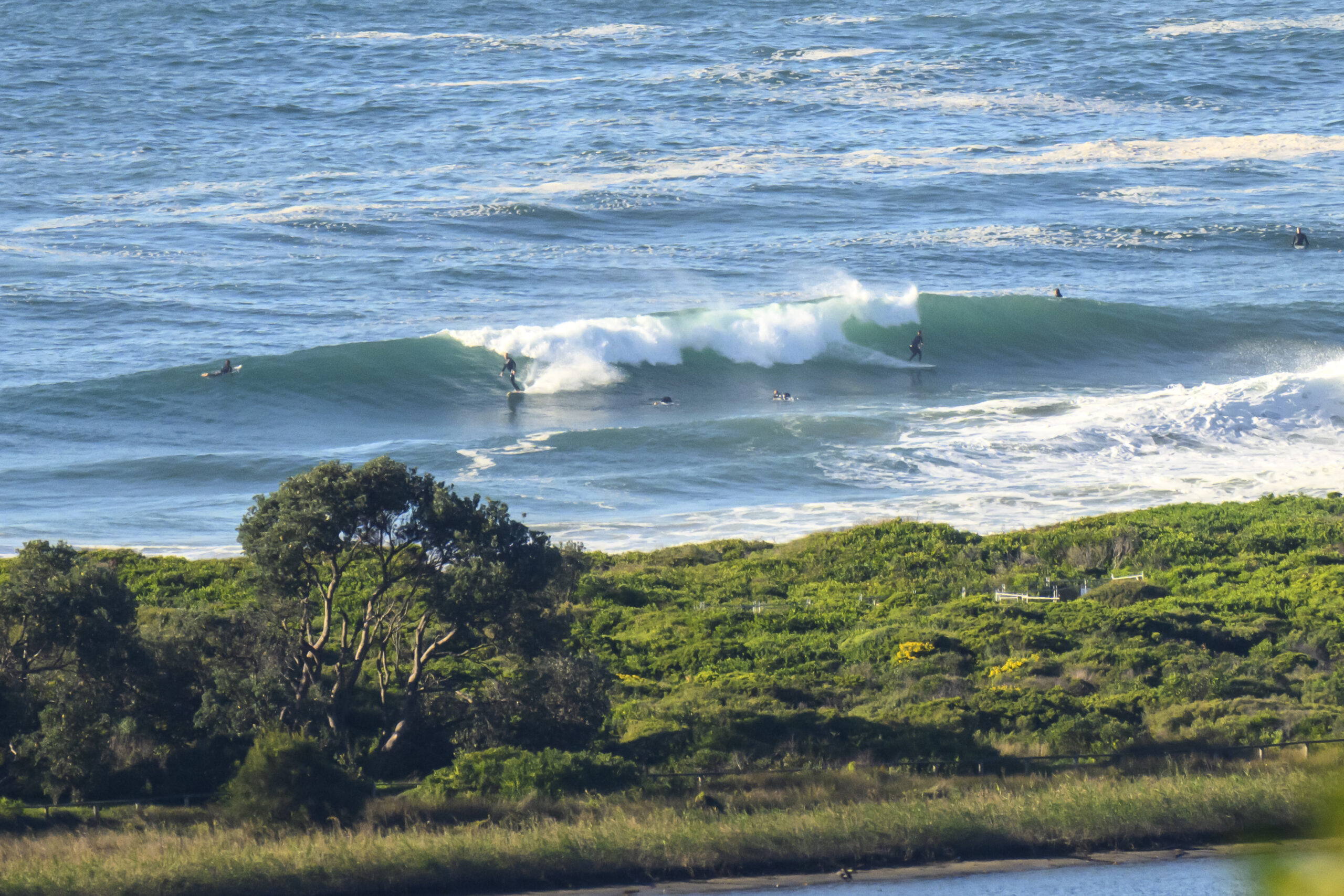
I’m back and although I’m pretty jet lagged, the waves are looking mighty sweet (never mind the murky brown water).
Swell has dropped radically since the weekend madness, but it’s still around the 2 metre mark from the SE with a nice healthy 12 sec period ensuring juice aplenty for the lucky folks who are on it. Sets look to be in the head plus range and pretty consistent at both the point and the beach at Dee Why. Crowds are pretty healthy too, which I guess isn’t a surprise given the morning offshore, clearing skies and school hols.
There should be some remnants again tomorrow and maybe Weds, but thereafter it looks like it will drop to just about nothing for a week or more – 🙁
Here’s the Bureau’s call…
Weather Situation
A high pressure ridge over the western Tasman Sea is weakening and a cold front will bring a west to southwesterly change along New South Wales coast on Tuesday. Behind this front another slow-moving ridge will develop across the Tasman Sea and Wednesday.
Forecast for Monday until midnight
Winds
Northwesterly 10 to 15 knots becoming variable about 10 knots in the late afternoon then becoming west to northwesterly 10 to 15 knots in the late evening.
Seas
1 to 1.5 metres, decreasing below 1 metre around midday.
Swell
Southeasterly 2 to 2.5 metres.
Weather
Isolated thunderstorms.
Tuesday 23 April
Winds
West to southwesterly 15 to 20 knots tending south to southwesterly 10 to 15 knots in the late afternoon then tending west to southwesterly in the late evening.
Seas
1 to 1.5 metres.
Swell
Southeasterly 1.5 metres.
Wednesday 24 April
Winds
Southwesterly 10 to 15 knots becoming variable about 10 knots during the morning.
Seas
Below 1 metre.
Swell
South to southeasterly 1 to 1.5 metres.

