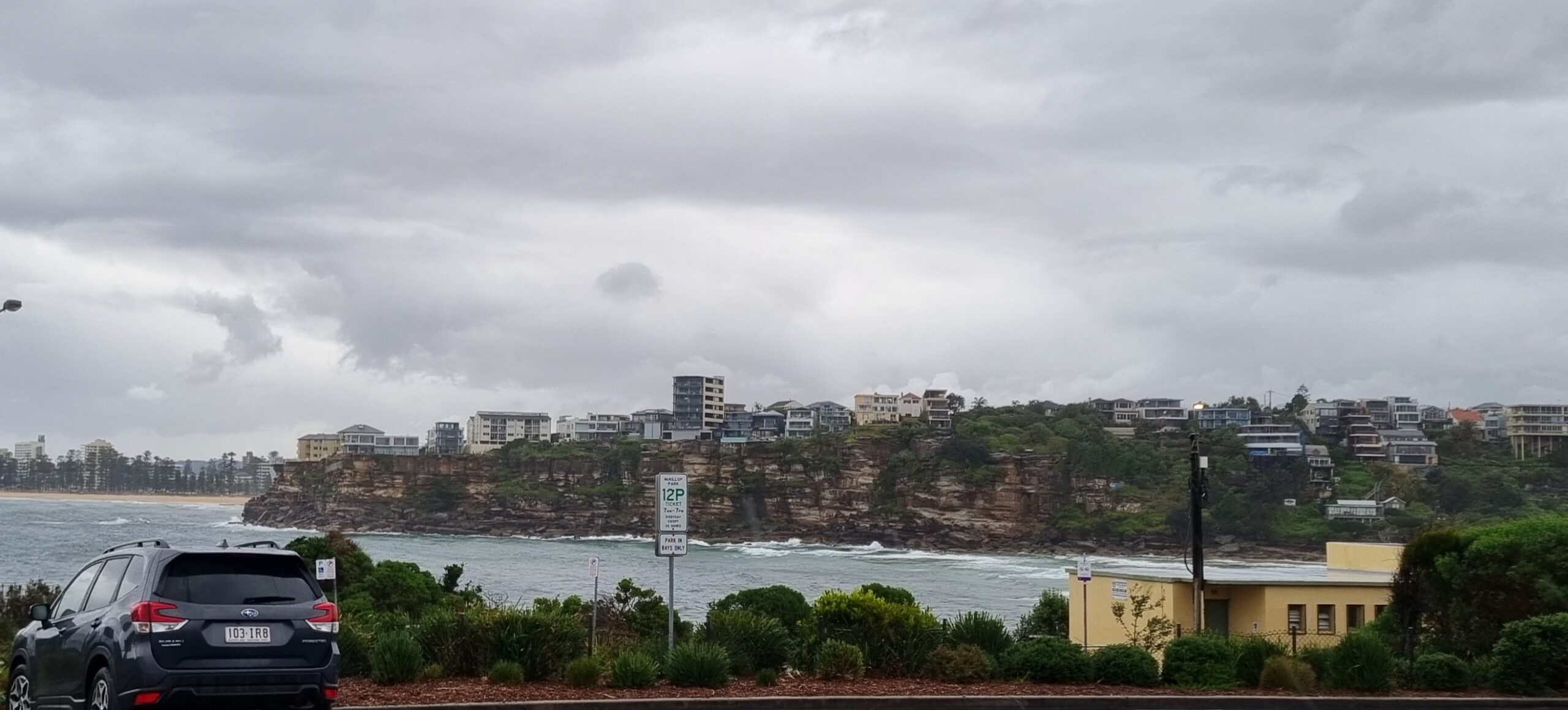
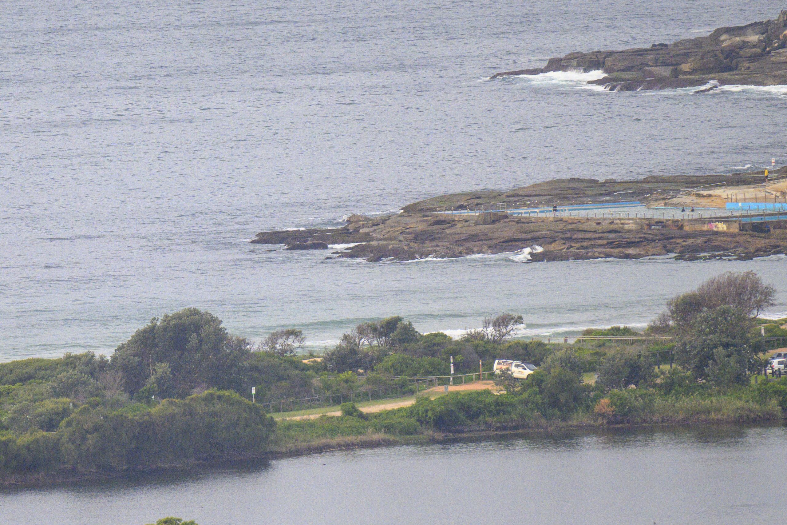
A beautiful, mild and sunny day with an offshore breeze, but only the barest hint of swell showing at Dee Why as we came off the high tide at a touch before 0600.
We might possibly have a few knee to waist high things late this morning as the tide drops, but the swell energy is expected to decline even further. Boo.
This morning’s long range swell forecast brings little joy for east coasters. From Eden to Agnes Water, the putlook is for near flatness across at least the next week. If you manage to eke out something in the knee to waist high range, you’ll be doing very well. Me, I’m waxing up the mal and getting my head into tiny wave mode.
Keep on smilin’ the waves always return!
Weather Situation
A high pressure ridge will strengthen over New South Wales today while a weak low pressure trough lingers on the South Coast. The ridge is expected to be the dominant synoptic feature over southeastern Australia through the coming week with light winds for most of the coast. A cold front may cross the Bass Strait during the weekend, triggering fresh northwesterlies in the south.
Forecast for Wednesday until midnight
Winds
Westerly 10 to 15 knots becoming variable about 10 knots in the early afternoon.
Seas
Up to 1 metre.
Swell
Southerly 1 to 1.5 metres, decreasing to around 1 metre later in the evening.
Thursday 25 April
Winds
Variable about 10 knots.
Seas
Below 1 metre.
Swell
Southerly around 1 metre.
Friday 26 April
Winds
Westerly 10 to 15 knots becoming variable about 10 knots during the day.
Seas
Up to 1 metre.
Swell
Southerly up to 1 metre.


