
Hello Friends,
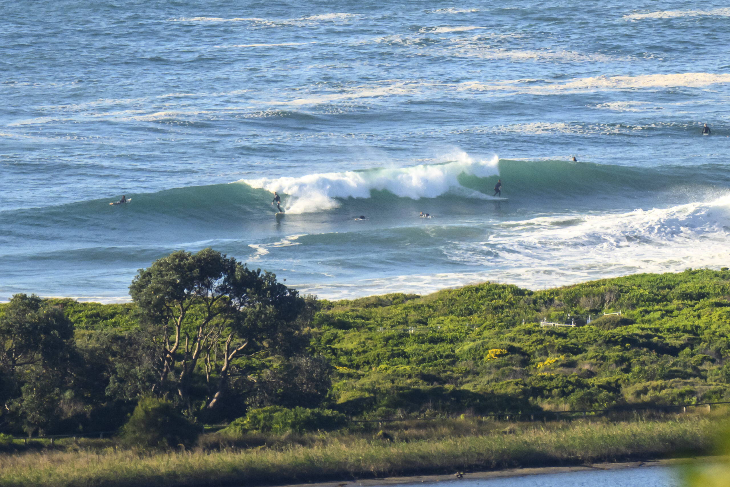
Almost 2.5 metres of nearly 10 sec period SSE swell and wind from the SSW to W at around 0815 this morning when I checked Dee Why. Crowd is up, as you’d expect for a sunny Sunday morning with waves, but it’s not looking totally insane. Waves at both the point and along the beach. Sets are into the head plus range and it seemed a little lully. Still, given the swell and wind settings, there should be a reasonable number of places firing up this morning.
Tide hits low at just before 1100.
Wind should stay about where it is now for this morning and maybe get more south as the day goes along.
Swell looks to be fading during the day and tomorrow the Bureau tells us we’re back to southerly. Still, it looks as though we should have waves of some sort through to midweek.
Weather Situation
A high pressure system south of the Bight is extending a ridge across New South Wales in the wake of a vigorous cold front. This high is forecast to move slowly over southeast Australia during the next few days, with light to moderate wind conditions returning by the start of the week.
Forecast for Sunday until midnight
Winds
South to southwesterly 15 to 20 knots.
Seas
1.5 to 2 metres, decreasing below 1.5 metres around midday.
Swell
Southerly 2 to 3 metres.
Caution
Large swells breaking dangerously close inshore.
Monday 6 May
Winds
Southerly 15 to 20 knots, decreasing below 10 knots in the evening.
Seas
1 to 1.5 metres, decreasing below 1 metre around midday.
Swell
South to southeasterly 1.5 to 2 metres.
Tuesday 7 May
Winds
East to southeasterly about 10 knots.
Seas
Below 1 metre.
Swell
Southeasterly 1 to 1.5 metres.

