Hello Friends,
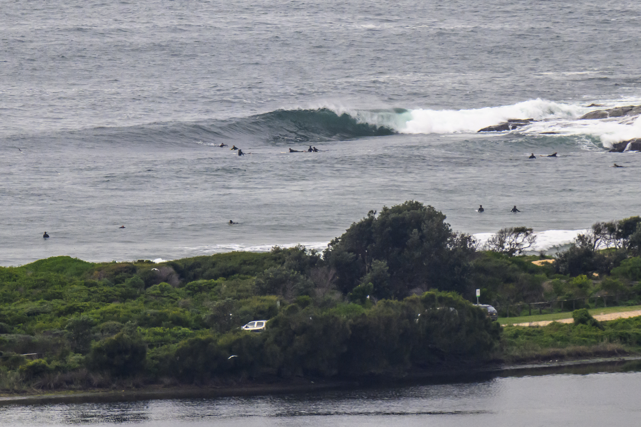
Dull skies at daybreak and even duller surf prospects for Sydneysiders. The MHL buoy is showing average swell height of 700mm coming from the SE at maybe 6 seconds apart. That’s flatness. A high tide at 0900ish wasn’t helping the picture either.
The Bureau and the wave models tell us that we might possibly see a little improvement from mid-afternoon at spots that like south swell. Looking at the MHL data for down south of us, it does seem as though there’s a slight uptick from the SE in the cards. So, here’s hoping.
I’d say we’d be doing well to get waist plus at the south magnet spots near dark.
According to the swell models, the energy levels should persist through early afternoon tomorrow at SE spots.
Next week is currently looking marginal at best. If the models are right, Sydney’s east swell spots will be the go for a knee to waist plus wave.
Have yourself a top old Saturday one and all!
Weather Situation
A high pressure system over the Tasman Sea will move slowly east during the next couple of days, maintaining a ridge and generally light winds over most of New South Wales coastal waters. Wind will turn northeasterly in the south and freshen on ahead of a west to southwesterly change early next week.
Forecast for Saturday until midnight
Winds
Variable about 10 knots becoming northeasterly 10 to 15 knots in the morning.
Seas
Up to 1 metre.
Swell
Southeasterly around 1 metre, increasing to 1 to 1.5 metres by early evening.
Sunday 12 May
Winds
North to northeasterly 10 to 15 knots.
Seas
Up to 1 metre, increasing to 1 to 1.5 metres later in the evening.
Swell
Southeasterly 1 to 1.5 metres, decreasing to around 1 metre by early evening.
Monday 13 May
Winds
Northerly 10 to 15 knots turning northwesterly during the evening.
Seas
1 to 1.5 metres.
Swell
Northeast to southeasterly around 1 metre.


