
Hello Friends,
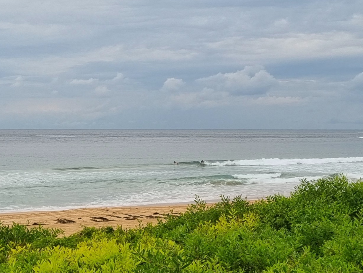
Wind was light as the day got started, but the swell is still pushing along at around 2.5 metres from the SE with an average period of 10-11 seconds. So, there are still some impressive bomb sets showing up at the magnet spots. Dee Why beach was looking pretty lined up and inclined to shut down, but there were heaps of folks in the water chasing waves, and I got a shot of a solidly overhead set, so you could get lucky – until that wind picks up.
Tide is high just before 1100, so fullness will also be a factor.
Wind is expected to go around to the NE as the day unfolds, so the number of surf options will decline sharply by the time the tide is dropping this afternoon.
Outlook is for the swell to gradually weaken overnight but at this stage it looks as though we should have waves of one sort or another through to the weekend. Plus, this morning’s modelling for early next week is looking very interesting indeed. That’s a long way out, so stay tuned on that front…
Gotta jam! Have yourself a good one.
Weather Situation
A high pressure system over southeastern Australia extends a ridge to the New South Wales north coast. The high will continue to move slowly eastwards over the next few days, becoming centred over the Tasman Sea by Wednesday.
Forecast for Tuesday until midnight
Winds
East to northeasterly 10 to 15 knots tending north to northeasterly in the afternoon.
Seas
Around 1 metre.
Swell
Southerly 2 to 2.5 metres.
Weather
The chance of thunderstorms offshore during this afternoon and evening.
Wednesday 29 May
Winds
Northerly 15 to 20 knots.
Seas
1 to 1.5 metres.
Swell
Southerly 1.5 to 2 metres, decreasing to 1 to 1.5 metres around midday.
Thursday 30 May
Winds
Northerly 15 to 20 knots.
Seas
1 to 1.5 metres, decreasing below 1 metre during the morning.
Swell
Southeasterly around 1 metre.

