Hello Friends,
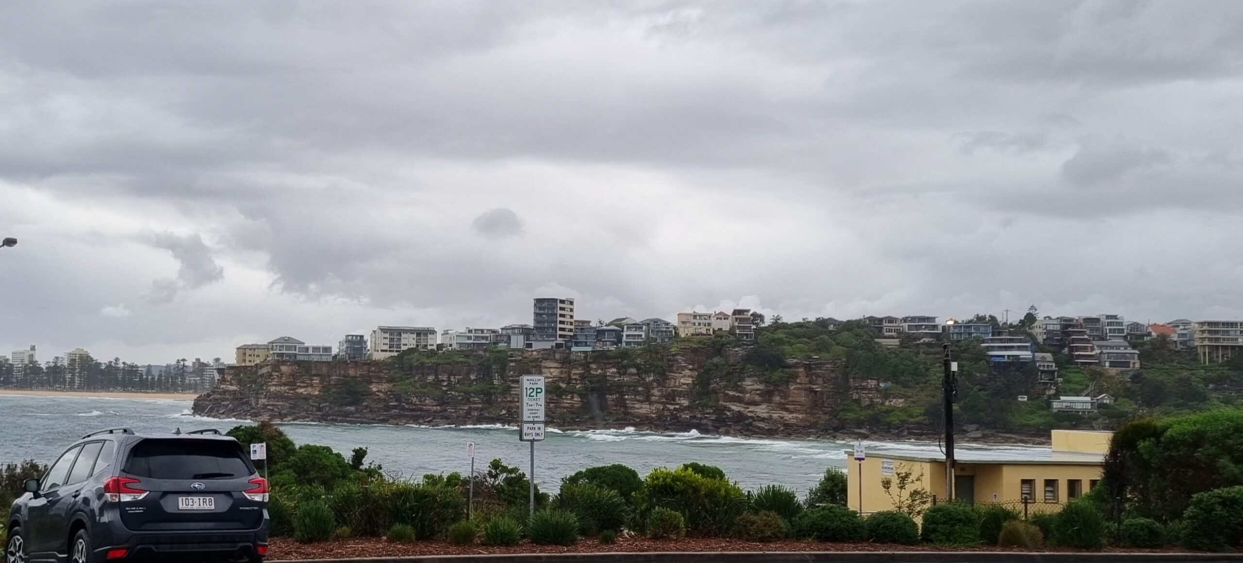
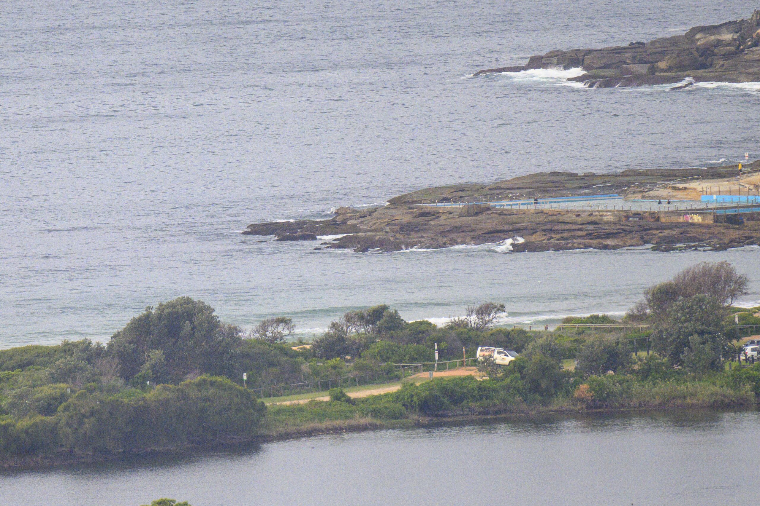
Had to wait for the fog to clear to see what was going on at the beach this morning. At 0845 Dee Why was socked in but by 0900 visibility was back to 20km+. The Loyal Order of Sunday Mornings, Dee Why Chapter, was in the water out in front of the SLSC. The waits were longish, but when the sets turned up, they were waist to chest. The MHL data is showing mainly SE at about a metre with an average period of around 8 seconds. But, there’s also some quite long period component in there from the south. It was pushing past the 15 second mark, which is an unusually long period for our part of the world.
Overnight Eden and Batemans Bay both went from around the metre mark to three metres and dead south – but with a short period. The southerly is 30-40 kts in Ulladulla now, and you can see it hitting Wattamola as of 0910. Right now it’s offshore and clean at Dee Why, but my guess is that within the next couple hours or so that southerly will start to make itself felt here too. Indeed, the Bureau says the change should intensify on its journey up the coast.
Surf options will be limited to only the most protected corners very soon. And it looks as though it’ll stay that way through to Tuesday midday. Longer term outlook currently suggests that Tuesday arvo to maybe Friday morning could be fun…
Have yourself a good Sunday!
Next tide is a high at 1555.
Weather Situation
A low pressure trough is moving over New South Wales, bringing a southerly change to the South Coast. This change will intensify as it moves northwards bringing strong to gale force winds to NSW coastal waters on Sunday. The wind is expected to gradually weaken during Monday and Tuesday as the trough moves further eastwards into the Tasman Sea and a high pressure centre near WA extends a ridge into NSW.
Forecast for Sunday until midnight
Gale warning for Sunday for Sydney Coastal Waters
Winds
Southerly change 30 to 40 knots this morning.
Seas
2 to 3 metres, increasing to 3 to 4 metres around midday.
Swell
East to northeasterly 1.5 metres, tending east to southeasterly 1.5 metres by early evening.
Weather
The chance of thunderstorms offshore.
Caution
Large swells breaking dangerously close inshore in the morning.
Monday 3 June
Strong wind warning for Monday for Sydney Coastal Waters
Winds
Southerly 25 to 30 knots decreasing to 20 to 25 knots in the evening.
Seas
2 to 3 metres.
1st Swell
Easterly 1.5 metres, tending southerly 2.5 to 3 metres before dawn.
2nd Swell
Easterly up to 1 metre, increasing to 1 to 1.5 metres around dawn, then tending southeasterly 1 to 2 metres around midday.
Caution
Large swells breaking dangerously close inshore in the morning.
Tuesday 4 June
Winds
Southerly 25 to 30 knots tending south to southwesterly 15 to 20 knots during the morning then decreasing to about 10 knots during the afternoon.
Seas
1 to 2 metres, decreasing below 1 metre during the morning.
Swell
Southerly 2 to 2.5 metres.


