
Hello Friends,
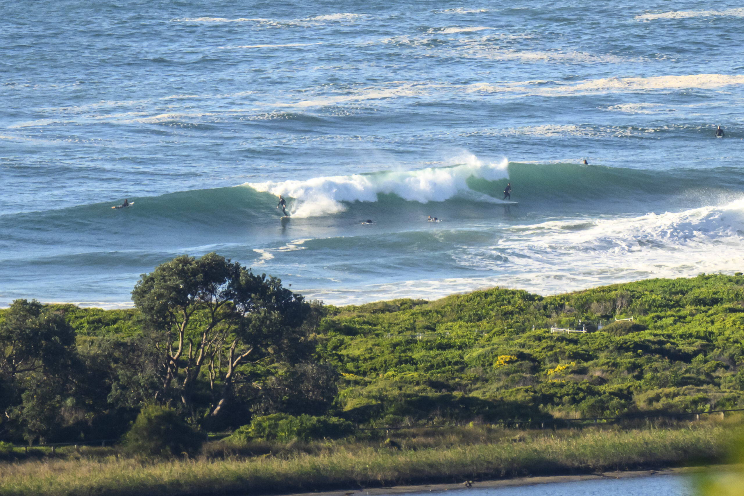
Bit ot a turn-up for the books at 0800 this morning. First, it wasn’t raining, second, the wind wasn’t raging, and third, the swell was about where we left it yesterday evening.
But the local Kookaburra family were chorusing.
And now, at 0830, the rain is pelting down.
The MHL swell spectra data shows the main energy coming toward us from the SE. It was averaging around 2 metres and was 12 seconds apart. Wind was a very light WSW’ly, so the surface was clean and the chest to head high waves weren’t looking too bad…
kudos to all of you who got down there for it.
The Bureau says a 95% chance of rain (got that right) and amounts could be anywhere from 35mm to 70mm. And that will definitely foul the water with run-off.
The wind may be reasonable for a little longer, but the Bureau says it should be 15-25 kts from the east to ESE by lunchtime. Swell should stay the same as it is now.
Tide was high at 0750 and will be low at 1330.
Tomorrow looks ordinary. A gale warning has been posted for 15-25 kt easterlies early, then 20-30 kt SE to SW before going SE-NE in the late arvo and reaching 25-40 kts. Swell is set to swing around east at the same time and be 3-4 metres during the morning. I suppose though that there might be possible to find something early.
The rest of the week looks like being pretty windy, but there should be opportunities here and there. And it doesn’t look like getting small until next week when it could be that we’ll go into a near-flat spell.
Have a good one!
Weather Situation
A trough along the NSW coast is expected to deepen Sunday with a low likely to develop off the north coast Sunday night. The low is expected to deepen during Monday and may move towards the central part of the coast with strong to gale force winds likely for central and southern coastal water zones. The low pressure system, likely made up of several transient small scale centres is expected to move only slowly to the north during Tuesday.
Forecast for Sunday until midnight
Winds
Easterly 15 to 25 knots.
Seas
Around 1 metre, increasing to 1 to 1.5 metres during the afternoon.
Swell
Southeasterly 2 to 2.5 metres.
Weather
The chance of thunderstorms.
Monday 24 June
Gale warning for Monday for Sydney Coastal Waters
Winds
Easterly 15 to 25 knots tending southeast to southwesterly 20 to 30 knots in the early afternoon then tending northeast to southeasterly 25 to 40 knots in the late afternoon.
Seas
1 to 2 metres, increasing to 2.5 to 3 metres during the afternoon, then increasing to 3 to 4 metres by early evening.
Swell
Southeasterly 1.5 to 2.5 metres, tending easterly 3 to 4 metres during the morning.
Weather
The chance of thunderstorms.
Caution
Large swells breaking dangerously close inshore.
Tuesday 25 June
Winds
East to northeasterly 20 to 30 knots turning southeasterly 25 to 35 knots during the morning.
Seas
2 to 3 metres.
Swell
Easterly 3 to 4 metres.
Weather
The chance of thunderstorms until evening, mainly offshore.
Caution
Large swells breaking dangerously close inshore.

