Hello Friends,
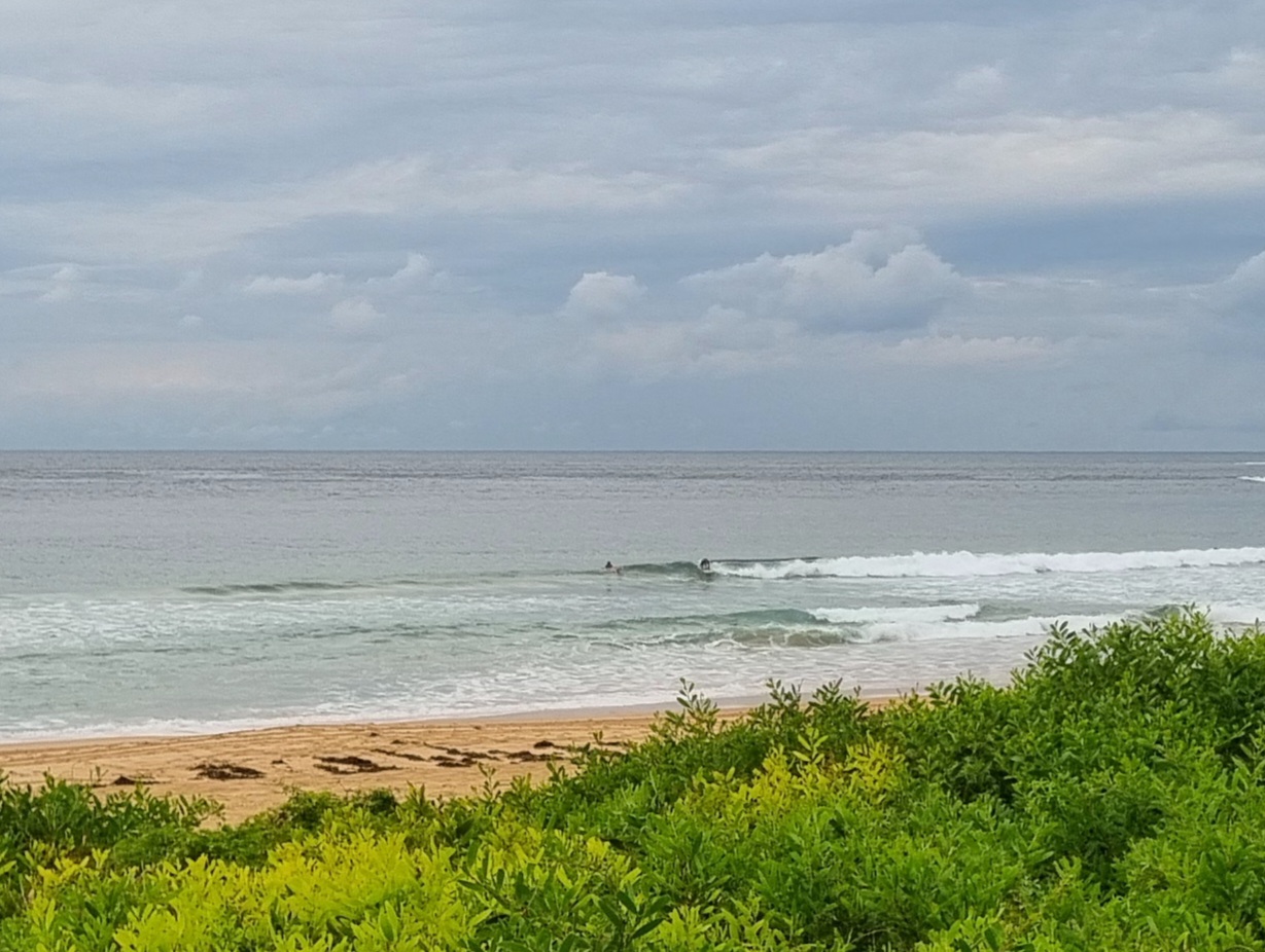
A break from threatening rain clouds for Sydney this Monday morning. Swell has dropped since yesterday though. It’s now around the metre mark and coming mainly from the east at about 10 seconds apart. As of 0900 the wind was still offshore along the northern beaches.
At Dee Why the conditions added up to waist to chest sets for the relatively small number of surfers in the water. According to the Bureau the light mainly SW wind should prevail until midday or thereabouts when a SE’r onshore should make itself felt.
The outlook for the remainder of the week isn’t looking too bad. Nothing amazing on the size front, but there should be surfable conditions at lots of places through the week to come. I reckon it’ll mostly be in the waist to chest plus range, but there might be a bit more than that late Tuesday, early Wednesday.
Have a great Monday!
Weather Situation
A high pressure system near the Bight extends a ridge across the southern Tasman Sea and a low pressure trough with a low within it lies off the northern New South Wales coast. The trough will move away from the coast during Tuesday and Wednesday as the high strengthen the ridge over the western Tasman Sea.
Forecast for Monday until midnight
- Winds
- South to southeasterly 10 to 15 knots becoming variable about 10 knots in the morning then becoming south to southeasterly 10 to 15 knots in the early afternoon.
- Seas
- Up to 1 metre.
- Swell
- Easterly 1.5 metres.
Tuesday 2 July
- Winds
- Southeasterly 10 to 15 knots turning southerly in the morning.
- Seas
- Up to 1 metre.
- Swell
- Easterly 1.5 metres.
Wednesday 3 July
-
Winds
-
Variable about 10 knots becoming northerly 10 to 15 knots during the evening.
-
Seas
-
Up to 1 metre.
-
Swell
-
Easterly 1.5 to 2 metres.

