Hello Friends,
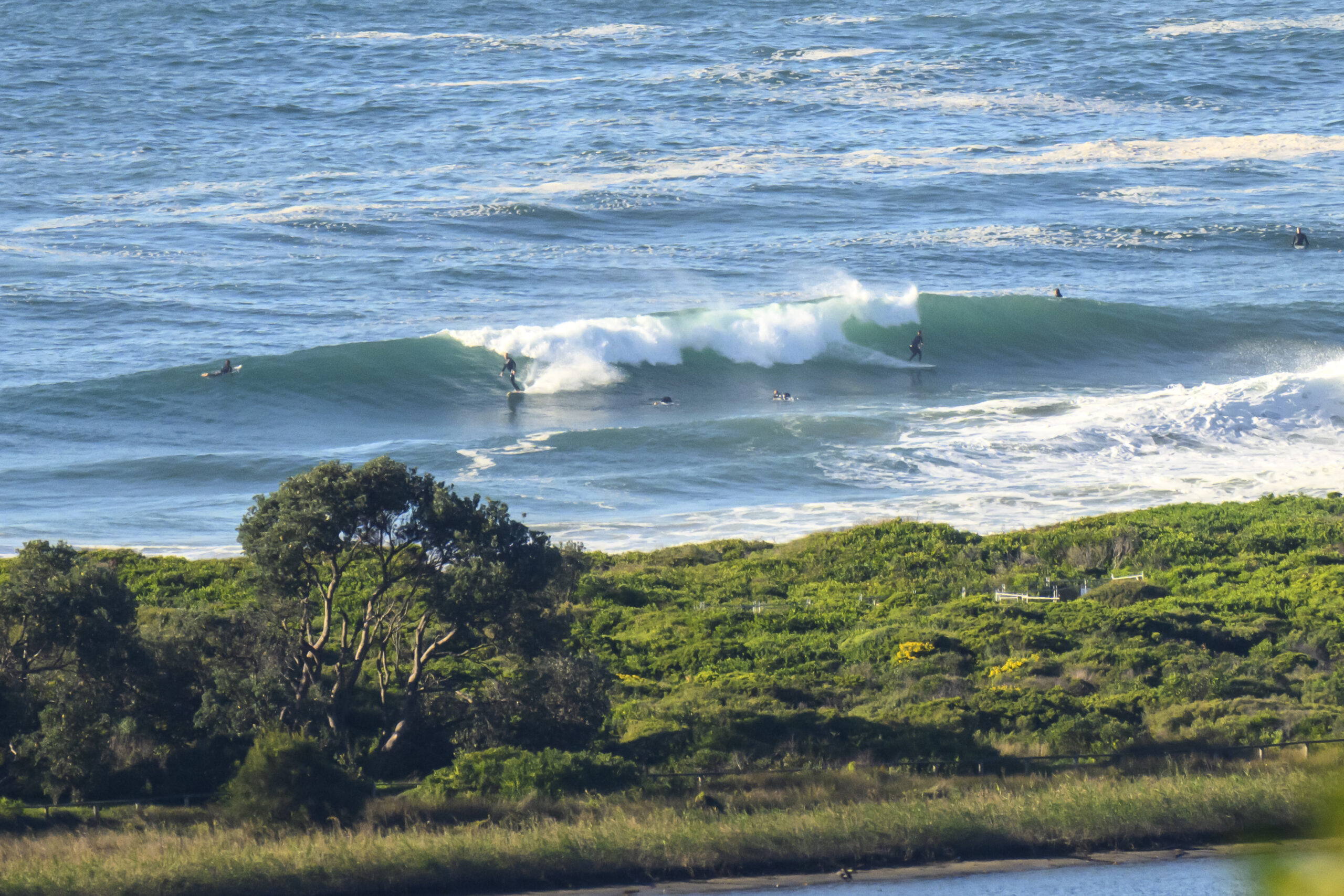
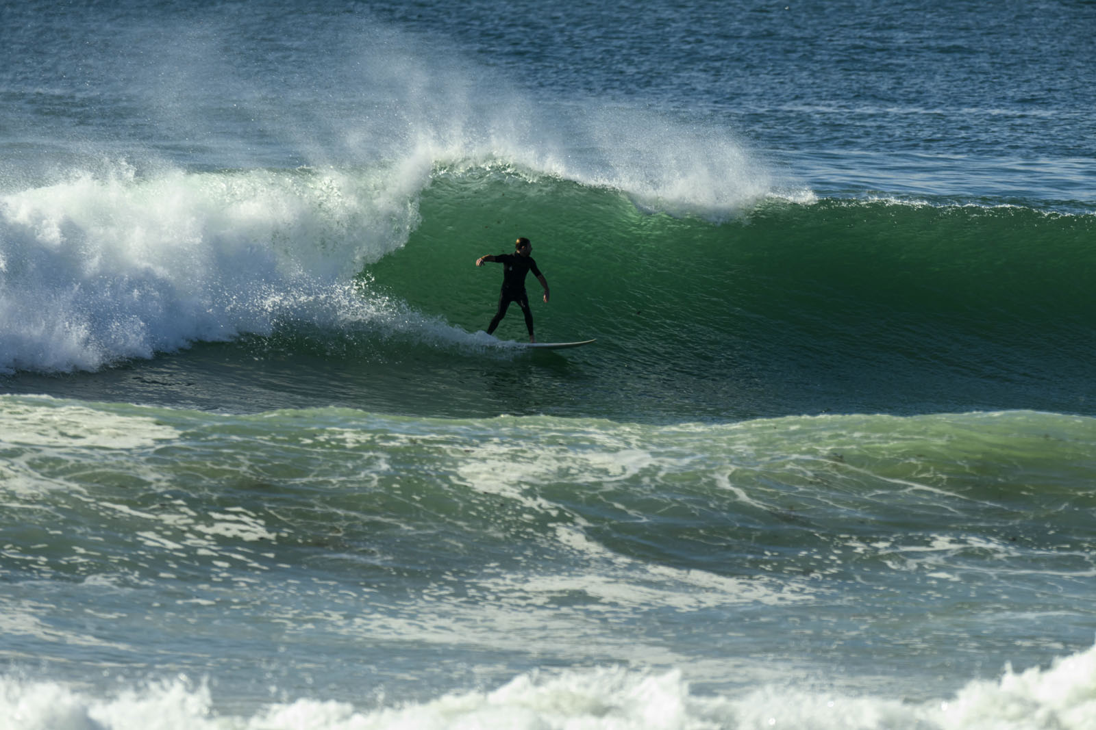
A little shower had just passed when I climbed aloft to scan the scene down at Dee Why. Swell has, as expected, dropped back from yesterday. Quite a bit actually. Although the swell’s still around the two metre mark and coming more or less from the SSE, the average period has come back to around the 8 second mark. A tiny set wave appeared in time for me to take a picture, but thereafter it went quiet again. Based on that and the forecasts, I reckon you might get the odd waist plus set at exposed spots, but it’ll be inconsistent and near flat less optimal locations.
From this morning’s swell models, it seems we’re heading into an extended period of marginal conditions. Tomorrow might be a bit better than today at south spots and with luck we’ll have something or other wave-wise until about Friday. After that though it’s not looking too red hot.
Keep on smilin’ and have a top old day!
Weather Situation
A strong high pressure system over southeast Australia is moving slowly east. A slow moving offshore trough will bring increasing southerly winds and showers to the coast during Tuesday, easing again on Wednesday as the high shifts to the Tasman Sea. Generally light to moderate winds are then expected to dominate during the second half of the week as a high pressure ridge remains the main synoptic feature of the region.
Forecast for Tuesday until midnight
Winds
Southerly 15 to 20 knots turning southeasterly 10 to 15 knots in the evening.
Seas
1 to 1.5 metres, decreasing below 1 metre during the afternoon.
Swell
Southerly 2 metres.
Wednesday 10 July
Winds
Northeasterly 10 to 15 knots.
Seas
Up to 1 metre.
Swell
Southerly 2 metres, decreasing to 1.5 metres before dawn.
Thursday 11 July
Winds
Northeasterly 10 to 15 knots becoming variable about 10 knots during the morning.
Seas
Below 1 metre.
Swell
Southeasterly 1.5 metres.


