Hello Friends,
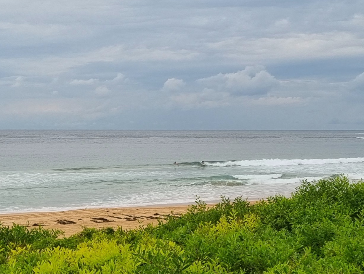
The MHL buoy spectral data is showing a very distinct NE origin for the little wind swell showing along our beaches this morning. Dee Why was delivering the odd knee to waist set, but the energy levels are low and the surface conditions looking choppy thanks to the steady north breeze. As a consequence, the surfer population at the Dee Why end of the beach was in the low single figures. Still, the person in my picture this morning was on that wave for a good 15 seconds, so some of them are running a reasonable distance (albeit slowly).
Will you find something similar? Maybe… the swell’s supposed to come up a bit over the next 24 hours and to swing more east…
Have yourself a great Friday one and all!
Tides: L @0420 H @1025
Forecast issued at 4:11 am EST on Friday 19 July 2013.
Weather Situation
A strong high pressure system near New Zealand extends a ridge to the northern New South Wales coast, while a deep low south of the Bight is moving steadily east. Vigorous northerly winds generated between these systems are expected during Friday as a cold front approaches from the west, and are likely to remain fresh to strong in many areas as the front crosses the coast during the weekend.
Forecast for Friday until midnight
Strong wind warning for Friday for Sydney Coastal Waters
Winds
Northerly 20 to 30 knots tending northwesterly in the evening.
Seas
2 to 3 metres, decreasing below 2 metres later in the evening.
Swell
East to northeasterly around 1 metre, increasing to 1 to 1.5 metres by early evening.
Weather
Isolated thunderstorms.
Saturday 20 July
Winds
West to Northwesterly 15 to 25 knots.
Seas
1.5 to 2.5 metres.
Swell
Northeasterly 1 to 1.5 metres, decreasing to around 1 metre around midday.
Sunday 21 July
Winds
Westerly 15 to 25 knots turning northwesterly 20 to 30 knots during the morning.
Seas
1.5 to 2.5 metres.
Swell
Northeasterly around 1 metre.

