
Hello Friends,
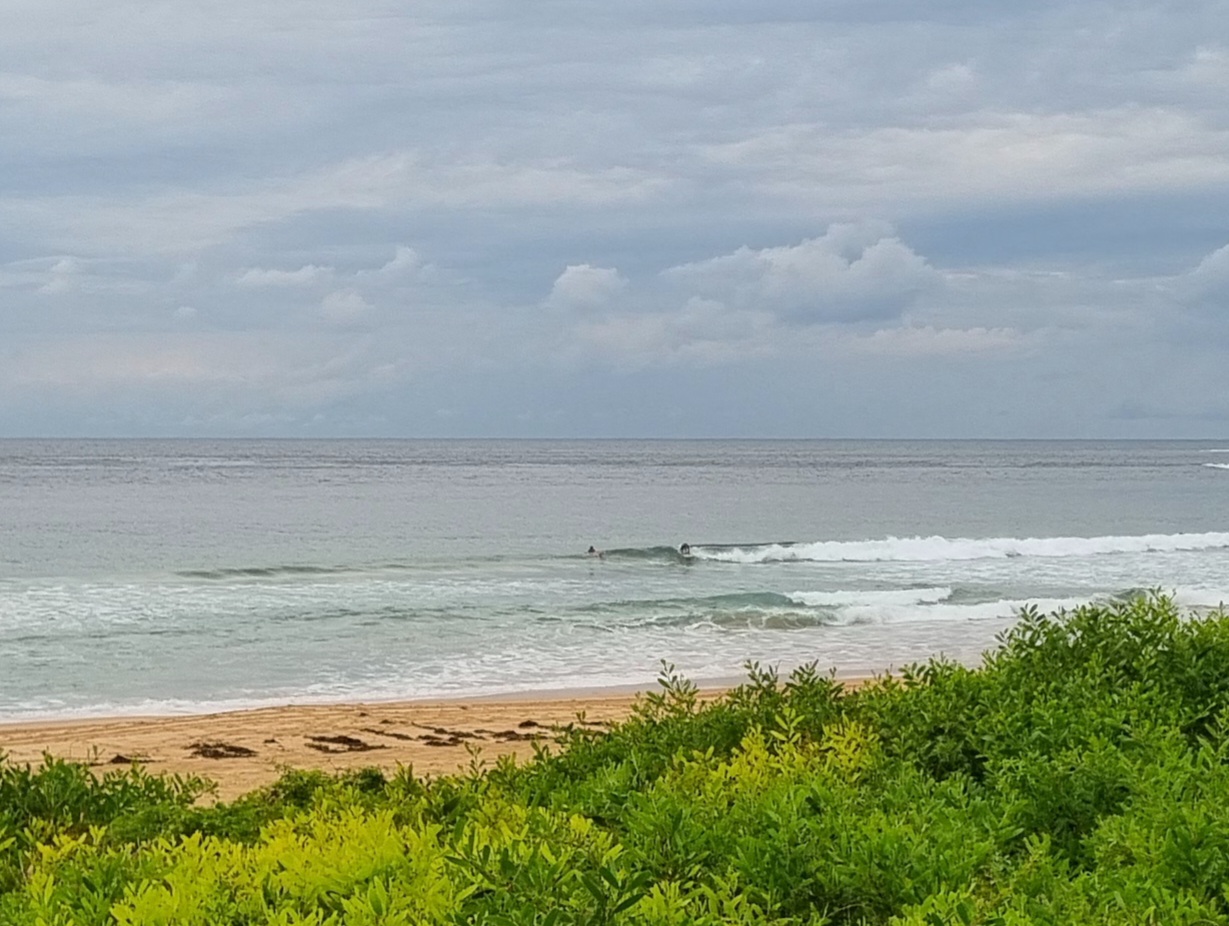
Get in early to beat the southerly change. Swell’s showing around 1.5m from the SSE at close to 11 seconds apart. Wind was light early so the surface was smooth for the waist to chest high sets turning up at Dee Why. The swell isn’t quite big enough to make the point do anything much, so all the action is along the beach.
The Bureau says the wind will go around to the SE in the middle of the day and by this evening should be into the 20-30kt range. It supposed to be southerly, but lighter tomorrow morning and unfortunately the swell will be dropping too. Right now the models are saying it might perk back up a touch for Saturday before we go back into another prolonged period of minimal activity.
I’ll go out for a closer look at the situation shortly and will try to file something later.
We’re inching toward the 50% mark on the crowdfunding effort. It’d be a very good thing if this is was the day that you jumped in with your pledge! Thanks
Forecast issued at 4:10 am EST on Thursday 12 September 2013.
Weather Situation
A weak high is centred over western New South Wales, while a cold front passing to the south maintains southwesterly winds along much of the coast. This high will drift toward the northeast during Thursday as a trough brings a southerly change to the southern and central coasts, extending to the north early Friday. Another high will strengthen to the west of Tasmania during this time, extending a ridge northwards behind the trough. Winds will shift northeasterly later Friday and Saturday as the ridge moves to the Tasman Sea, freshening before a trough brings a westerly wind change later on the weekend.
Forecast for Thursday until midnight
Strong wind warning for Thursday for Sydney Coastal Waters
Winds
Southwesterly 10 to 20 knots turning southeasterly at about 10 knots in the afternoon then becoming southerly 20 to 30 knots in the evening.
Seas
1 to 1.5 metres, decreasing below 0.5 metres around midday, then increasing to 1.5 to 2.5 metres by early evening.
Swell
Southerly 1 to 1.5 metres, increasing to 1.5 to 2 metres later in the evening.
Friday 13 September
Winds
Southerly 15 to 25 knots turning east to southeasterly below 10 knots in the morning then tending east to northeasterly 10 to 15 knots in the late afternoon.
Seas
1 to 2 metres, decreasing below 1 metre around midday, then increasing to 1 to 1.5 metres later in the evening.
Swell
Southerly 1 to 1.5 metres, decreasing to around 1 metre during the morning, then tending south to southeasterly 1 to 1.5 metres by early evening.
Saturday 14 September
Winds
Northeasterly 20 to 30 knots shifting west to southwesterly 15 to 20 knots during the afternoon or evening.
Seas
1.5 to 2.5 metres, decreasing below 1.5 metres during the afternoon or evening.
Swell
Southerly around 1 metre, tending east to southeasterly 1 to 2 metres during the afternoon.

