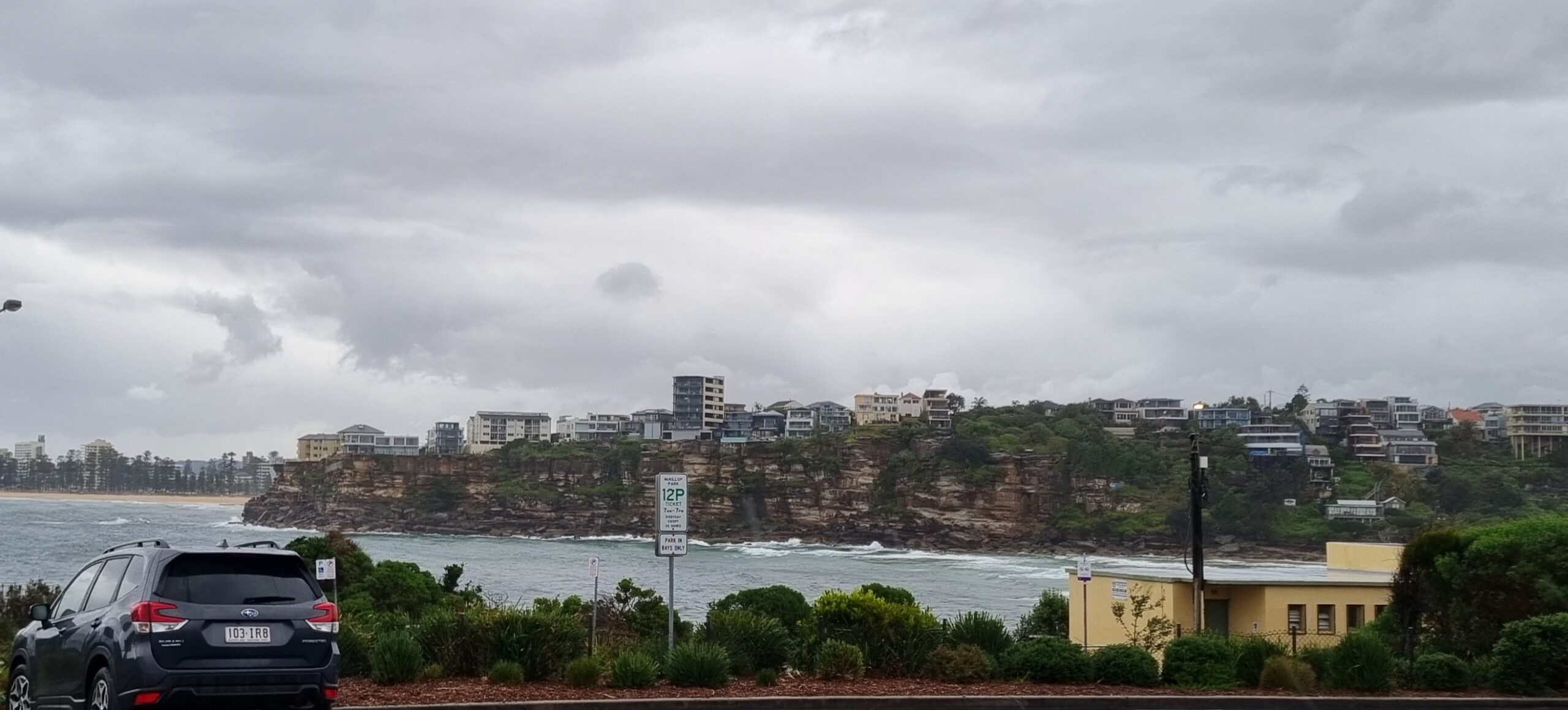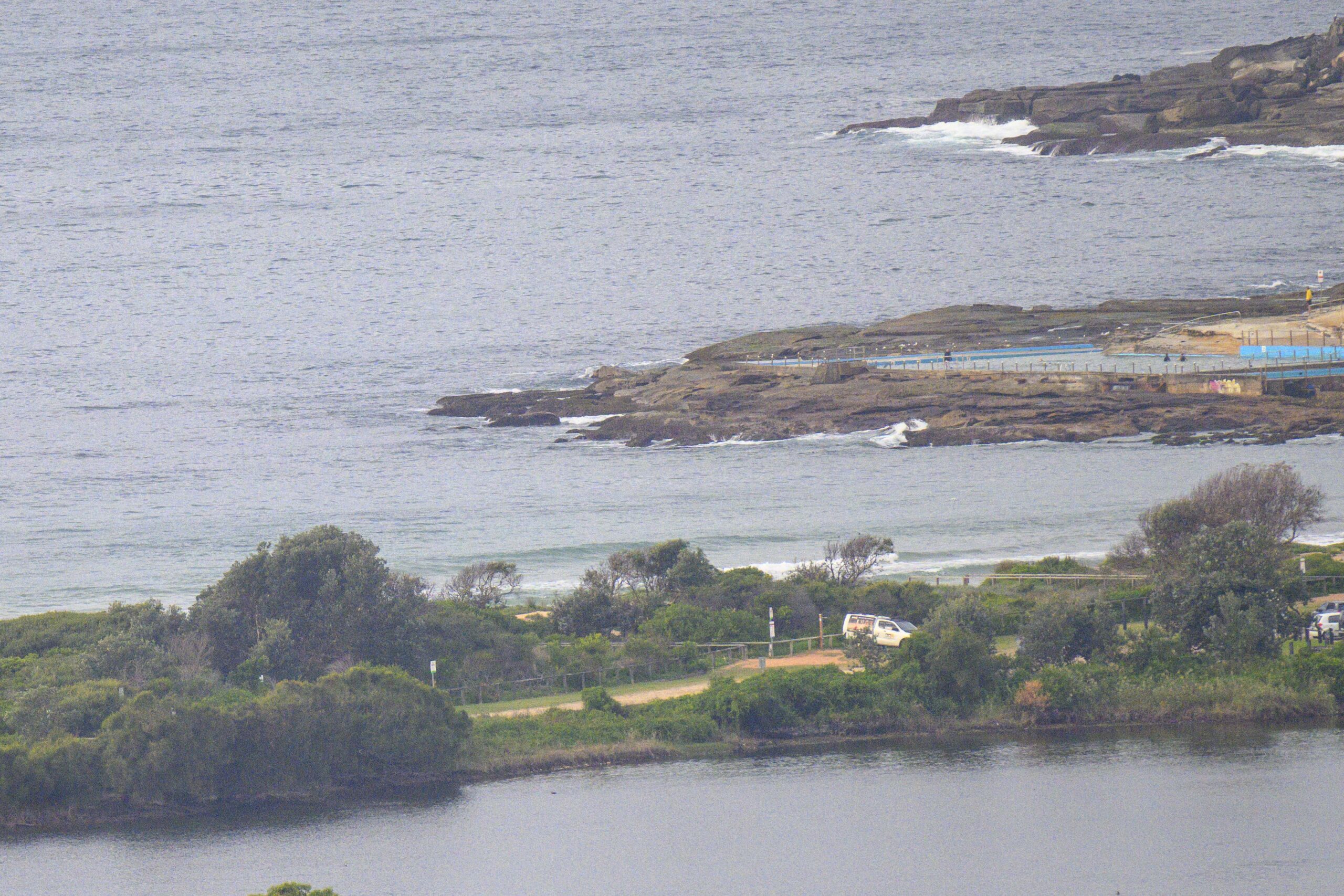

This morning I wrote:

Hello Friends,
A metre or so combo of east and residual south east swell this morning is delivering the odd chest high wave face for the weekend warriors at Dee Why this morning. Of course mostly it’s smaller than that. Tide’s just tipped past the high as I write this a little before 0900 and there is a faint SE breeze up here on the hill. As you can see from the pic, the ocean surface is looking kinda choppy. We have a strong wind warning for N to NE later and we appear to have more or less skipped spring and gone straight to summer. Not good.
I’d get to the beach ASAP because I don’t think it’ll be too interesting this afternoon once that NE’r starts hammering in. There might be some summer-style wind waves at semi-protected spots for the late, but, my hunch is it’ll be mostly very small and torn up.
Yours truly is now at the stage of waking up in the middle of the night remembering things that will have to be done on Weds evening at Don’s Surf Party. I’m going to get on to the video editing today as I assemble a sequence of my 1977 footage of MP, PC, Rabbit, Terry Fitz etc for the big evening. If you are not yet a pledger and you want to come along, please get your pledge in and I’ll send you an invite this evening.
So fantastic to have made the financial goa, but now I want to see if we can get to 200 pledgers because, well, just because I think it’s a nice round number!
Have yourself a top old Sunday one and all and here’s hoping the fire situation improves quickly.
Forecast issued at 4:11 am EDT on Sunday 20 October 2013.
Weather Situation
A strong and slow moving high pressure system over the Tasman Sea maintains a ridge over New South Wales over the weekend. The ridge moves slowly northwards as a low pressure system enters the far southern parts of the state later on Monday. An afternoon south to southwesterly wind change is expected on Monday along the South Coast associated with the trough.
Forecast for Sunday until midnight
Strong wind warning for Sunday for Sydney Coastal Waters
Winds
Northerly 10 to 15 knots tending northeasterly 15 to 25 knots in the early afternoon then tending northerly 20 to 30 knots in the late evening.
Seas
Around 1 metre, increasing to 1.5 to 2 metres during the afternoon.
Swell
Easterly below 1 metre.
Monday 21 October
Strong wind warning for Monday for Sydney Coastal Waters
Winds
Northerly 20 to 30 knots tending north to northeasterly 15 to 25 knots before dawn then becoming northerly 25 to 30 knots in the late evening.
Seas
1.5 to 2.5 metres, decreasing below 1.5 metres during the morning, then increasing to 1.5 to 2 metres during the afternoon.
Swell
Easterly below 1 metre, tending northeasterly 1 to 1.5 metres around dawn.
Tuesday 22 October
Winds
North to northeasterly 20 to 30 knots.
Seas
2 to 3 metres.
Swell
Northeasterly 1 to 1.5 metres, tending easterly around 1 metre during the afternoon.


