Hello Friends,
Visibility at 0700 was less than 2 km because of the severe bush fire smoke pollution. It’s going to be a very tough day for people battling respiratory issues and of course a very frightening day for our fellow Australians near the fires.
According to the latest MHL data, we have 7 second period NE wind swell with an average height at sea of 1.5 metres. Tide will be high at 0920. Wind is set to come up from the NE and to get into the 15-25 kt range. Presumably that will clear the smoke from the coastline.
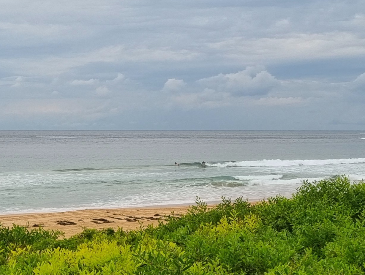
At Dee Why the surf situation is looking pretty tiny. There were some folks in the water, but the visibility was pretty ordinary when I took the picture so I couldn’t tell if they were doing much. I’d say knee to waist plus at magnet spots would be a reasonable expectation.
The marginal surf conditions look like prevailing until the end of the week when at least some of the modelling is projecting a reasonable south pulse late Thursday into early Friday. The BoM says from early Thursday, so pencil that one in maybe.
We only have three days left in the crowdfunding campaign and following a good weekend, we’re heading up to the deadline with an excellent chance of meeting my next target – at least 200 croudfunders. Every cent we raise is of course incredibly useful, but to my mind it is particularly gratifying to have a large number of supporters. The Friends of RealSurf as all you good contributors are known, will be a vital part of the redesign process from my perspective. Soon after the campaign closes officially, I’ll get started on an initial survey to help me identify important issues to take on board when I scope the design.
Anyway, if you’ve left it to the last minute, well, er, it’s pretty much the last minute. 🙂
Have yourself a safe day and get up to a little good on the way through!
Forecast issued at 4:10 am EDT on Monday 21 October 2013.
Weather Situation
A slow moving high pressure system centred near New Zealand will maintain a ridge over northeastern New South Wales during Monday and Tuesday. The ridge will gradually weaken as a low pressure system enters the far southern parts of the state later on Monday. A south to southwesterly wind change is expected to develop along the South Coast later this morning associated with the trough reaching Sydney overnight.
Forecast for Monday until midnight
Strong wind warning for Monday for Sydney Coastal Waters
Winds
North to northeasterly 15 to 25 knots increasing to 20 to 30 knots in the late evening.
Seas
1 to 1.5 metres, increasing to 2 metres by early evening.
Swell
Northeasterly around 1 metre, increasing to 1 to 1.5 metres during the morning.
Tuesday 22 October
Strong wind warning for Tuesday for Sydney Coastal Waters
Winds
Northerly 20 to 30 knots decreasing to 15 to 25 knots before dawn then turning east to northeasterly 15 to 20 knots in the morning.
Seas
1.5 to 2.5 metres, decreasing below 1 metre during the morning, then increasing to 1 to 1.5 metres by early evening.
Swell
Northeasterly 1 to 1.5 metres, tending easterly around 1 metre around midday.
Wednesday 23 October
Winds
North to northeasterly 15 to 20 knots shifting west to southwesterly during the day.
Seas
1 to 2 metres, decreasing below 1.5 metres during the morning.
Swell
Easterly around 1 metre, tending northeasterly 1.5 to 2 metres.

