
Hello Friends,
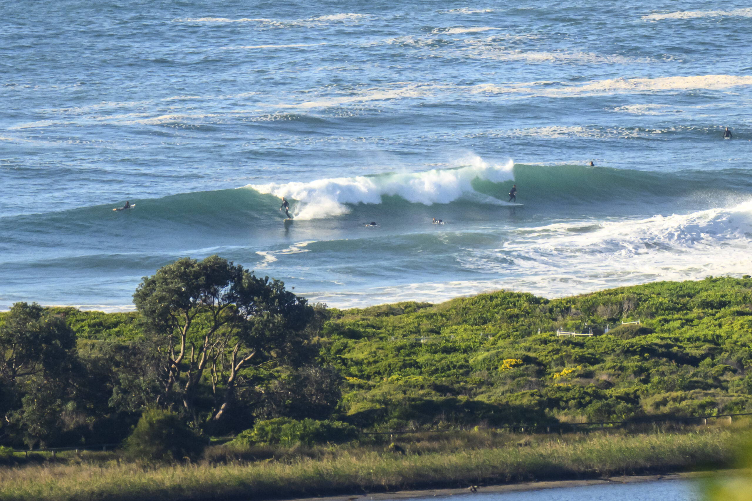
As suggested yesterday, Tuesday started out with around 10kts of SW wind and scrappy but definitely catchable SSE wind swell. At around 0715, Dee Why point was delivering the odd head plus section and the beach was popping up a few in the same size range. Water looks extremely dodgy and according to Sydney Water, Dee Why’s suspect and spots such as Northy, Collaroy, Curly to Manly and Bronte and Coogee are likely polluted.
The swell is expected to weaken through the day while the southerly is set to spool up into the 20-25 kt range this morning.
Next tide is a high at 0855. The low will be along at around 1535.
Tomorrow looks like being pretty similar to today, ie, the best shot being in the morning before the SE’ly gets going. Thereafter it would seem we’re in for a switch to a NE’r regime for the rest of the week and into the weekend. There should be little wind swell waves around the place, but the wind will be severely limiting the options.
Hope you have yourself a top old Tuesday and that all goes well!
Weather Situation
A high pressure ridge extends from New Zealand over southern parts of New South Wales. A trough extends from Queensland through northern New South Wales and into the Tasman Sea and a complex low pressure system lies within this trough near the Mid North Coast. On Tuesday this low pressure centre is expected to move away to the east. A cold front and associated trough system is expected to move through southern and central parts of the coast on Wednesday before weakening on Thursday as a high pressure ridge becomes re-established across the southern Tasman Sea.
Forecast for Tuesday until midnight
Winds
Southerly 10 to 15 knots, increasing to 20 to 25 knots in the morning, then easing.
Seas
Below 1 metre, increasing to 1 to 1.5 metres during the morning, then decreasing below 1 metre during the afternoon.
Swell
Southeasterly 1.5 to 2 metres, decreasing to 1.5 metres around dawn, then decreasing to around 1 metre around midday.
Weather
Isolated thunderstorms offshore this morning.
Wednesday 20 November
Winds
South to southeasterly about 10 knots increasing to 10 to 15 knots in the middle of the day then becoming east to southeasterly about 10 knots in the evening.
Seas
Below 1 metre.
Swell
Southeasterly 1 to 1.5 metres, tending easterly around 1 metre , then increasing to 1 to 1.5 metres before dawn.
Thursday 21 November
Winds
Easterly below 10 knots tending northeasterly 10 to 15 knots during the morning then increasing to 15 to 25 knots during the evening.
Seas
Around 1 metre, increasing to 1 to 1.5 metres during the afternoon or evening.
Swell
Easterly 1.5 metres.
Weather
The chance of thunderstorms.

