
 Hello Friends,
RealSurf HQ was fogged in when I first tried to check the situation at 0620. Visibility was around 100 metres, so no pictures to begin with this morning.
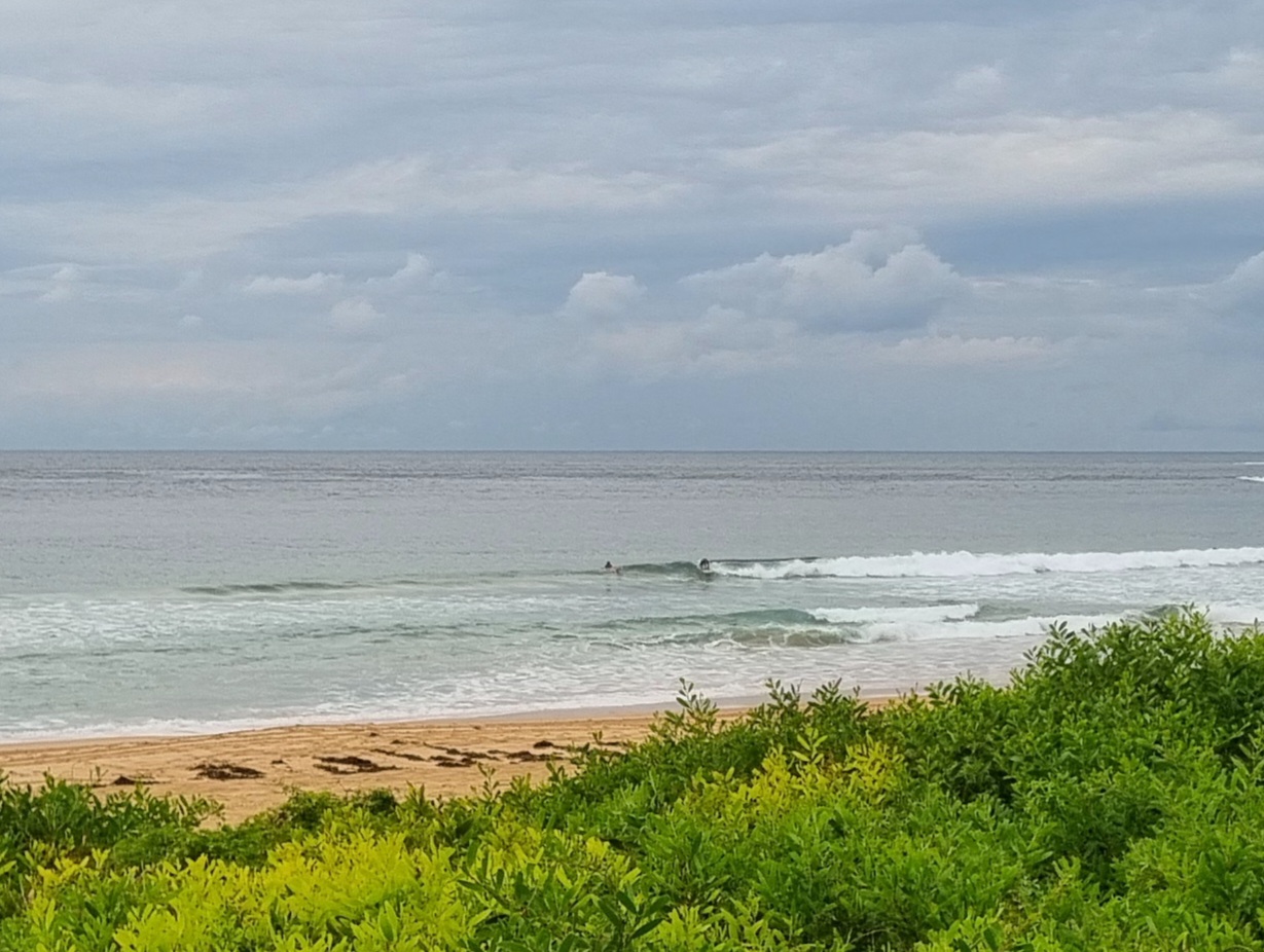
From the look of the MHL data, I’m not expecting to see much when the fog clears. Swell is coming from the east and is averaging around the 1.5 metre mark out at the buoy. The problem is that the average period is a dribbly 7 seconds, so my guess is that when the fog burns off later, we’ll be looking at knee to waist high wave faces at most places showing anything. Magnet spots like Curly should be a touch bigger with possible set wave faces into the chest range. Wherever you go, expect lumpy, bumpy short period stuff with quick two to three turn rides being the norm. Wind should be reasonable today as it’s expected to be out of the westerly quarters.
The surf outlook for today and tomorrow isn’t currently looking too exciting. The models are calling for a little something from the NE this morning, but that fades as the day goes along. Tomorrow looks puny again sadly.
The coming week should see us return to a southerly regime for a few days. There is some hope for reasonable energy at spots that can take SW wind on Monday and Tuesday. If the models have it right, Sydney could get a 2-3 metre south pulse with periods in the 10 second range from as early as Monday morning through – more or less – to Wednesday. By Wednesday the wind could be south to south east though.
If I had to pick a day at this point, I reckon Tuesday morning looks the best shot…
Have a top old Saturday!
Tides: H @1125, L @1810
Forecast issued at 4:10 am EDT on Saturday 23 November 2013.
Weather Situation
A weak high pressure ridge lies over the southern Tasman Sea and a low pressure system near Tasmania with a trough to the north is slowly moving east. As the low moves further east the associated trough will bring southerly winds as far north as Sydney Waters this morning and to the far north coast Sunday afternoon. Behind the trough a weak high pressure ridge is expected to develop along the coast on Monday.
Forecast for Saturday until midnight
Winds
North to northwesterly 10 to 15 knots becoming southwest to southeasterly about 10 knots in the morning then becoming north to northeasterly 10 to 15 knots in the late evening.
Seas
1 to 2 metres, decreasing below 1 metre during the morning.
Swell
Northeasterly 1.5 metres.
Weather
Scattered thunderstorms, becoming less likely at night.
Sunday 24 November
Winds
South to southwesterly 15 to 20 knots tending west to southwesterly 10 to 15 knots in the morning then becoming variable about 10 knots in the middle of the day.
Seas
Around 1 metre.
Swell
Northeasterly 1 to 1.5 metres, tending easterly around 1 metre around midday.
Weather
Isolated thunderstorms offshore early in the morning.
Monday 25 November
Winds
Southerly below 10 knots, increasing to 20 to 25 knots during the evening.
Seas
Around 1 metre, increasing to 1.5 to 2 metres during the afternoon or evening.
Swell
Easterly around 1 metre, tending southerly 1.5 to 2.5 metres during the afternoon.

