
Hello Friends,
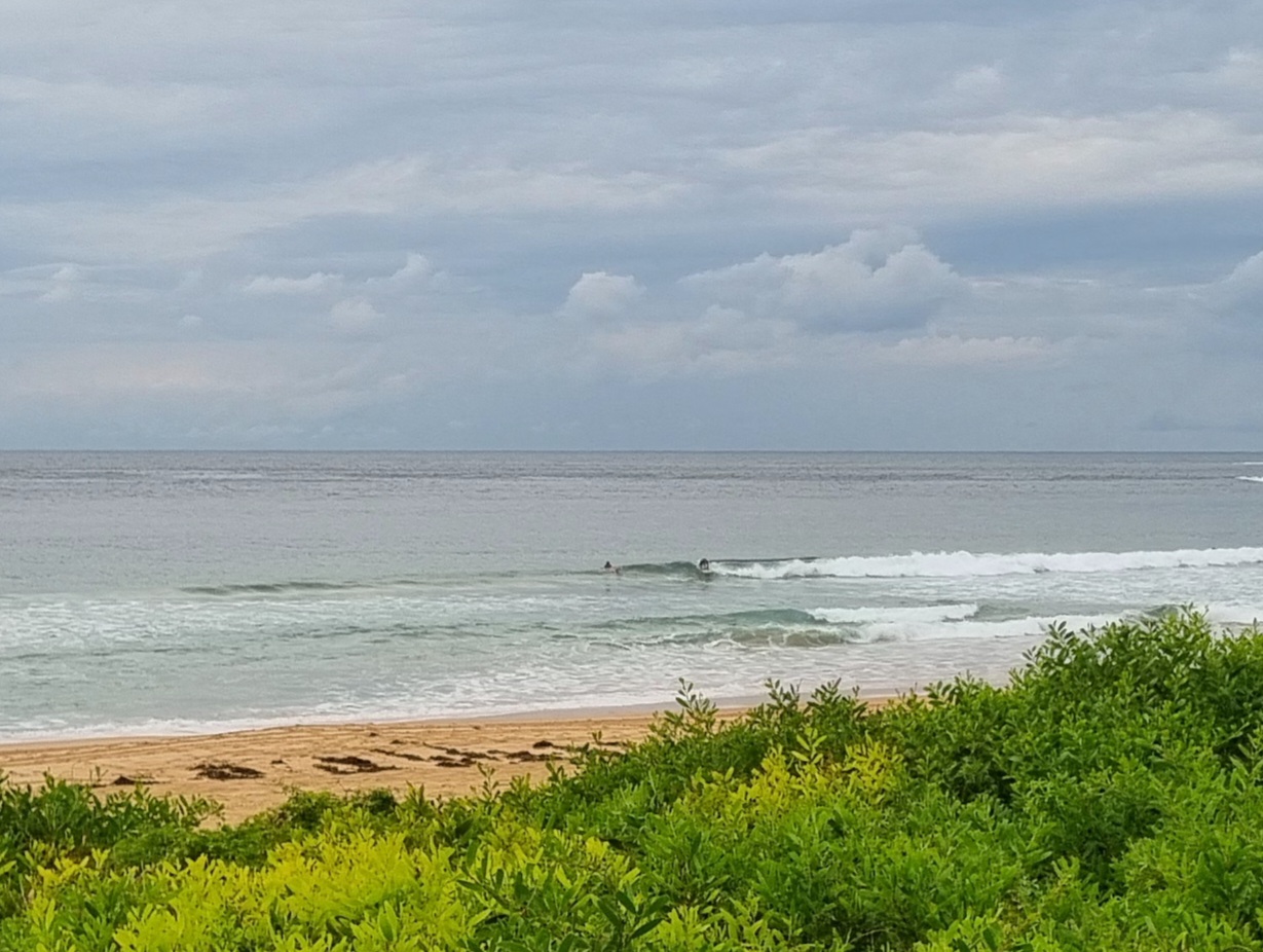
Two metres of 10 second period NE swell wasn’t doing much at Dee Why. Set waves were around the chest high mark, but the pattern seemed to be dominated by single wave sets and one to two turn brief little sections. The beach was more consistent and bigger than the point, but neither was particularly striking. I’d say you’ll really want to be looking elsewhere for better exposure to the energy. Wind is supposed to be SW 20-30 kts, but as of 0730, it looked pretty much glassy. The swell is supposed to fade back this morning before swinging to the SE later.
Tide is high at 0935 and low at 1620.
The rain is expected to ease off through the day and the wind should stay out of the westerly quarters today and tomorrow. According to the Bureau, the swell direction is going to wobble around between the NE and SE tomorrow before settling into a southerly direction for late Friday and into Saturday.
Looks to me as though we could have some potentially fun conditions for the morning sessions across the next few days… here’s hoping!
Have yourself a great Thursday!
Forecast issued at 4:10 am EDT on Thursday 5 December 2013.
Weather Situation
A trough and frontal system is moving through northeast New South Wales, with fresh to strong and gusty northeast to northwesterly winds ahead of a fresh to strong south to southwesterly change. Winds will ease as a high pressure system following the front extends a ridge over NSW into the weekend. By Sunday the high pressure system is forecast to move into the Tasman Sea with a return to north to northeasterly winds.
Forecast for Thursday until midnight
Strong Wind Warning for Thursday for Sydney Coastal Waters
Winds
Southwesterly 20 to 30 knots tending south to southwesterly 15 to 20 knots in the middle of the day then tending west to southwesterly 20 to 30 knots in the afternoon.
Seas
1.5 to 2.5 metres, decreasing below 1.5 metres during the morning, increasing to 1.5 to 2.5 metres offshore during the afternoon.
Swell
Northeasterly 1.5 to 2 metres, decreasing to 1.5 metres around midday, then tending southerly 1.5 metres by early evening.
Weather
The chance of thunderstorms.
Friday 6 December
Strong Wind Warning for Friday for Sydney Coastal Waters
Winds
West to southwesterly 20 to 25 knots shifting south to southeasterly 15 to 20 knots in the early afternoon. Winds reaching up to 30 knots in the morning.
Seas
2 to 3 metres, decreasing below 2 metres around midday, then decreasing below 1 metre during the afternoon.
Swell
South to southeasterly 1.5 metres, tending northeast to southeasterly around 1 metre , then tending southerly 1.5 to 2.5 metres around dawn.
Saturday 7 December
Winds
Variable about 10 knots becoming northeasterly 15 to 20 knots during the afternoon.
Seas
Around 1 metre, increasing to 1.5 metres during the evening.
Swell
Southerly 1.5 to 2 metres.
Please be aware
Wind gusts can be 40 percent stronger than the averages given here, and maximum waves may be up to twice the height.
Nearby Coastal WatersThis forecast is also available via scheduled broadcasts on marine radio.
Latest Coastal Observations
Tide Predictions
The next routine forecast will be issued at 4:05 pm EDT Thursday.

