
Hello Friends,
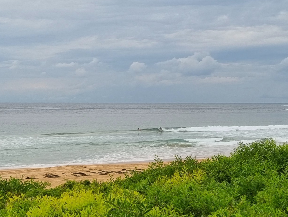
Wind went SSE to ESE right after daybreak, so although the swell has perked up noticeably, there aren’t going to be too many surf options around the place. The MHL spectra chart shows the main energy coming from the east at two metres and nearly 11 seconds apart. If only it was sunny and offshore…sigh. But it was grey and drizzly and choppy and just blah looking when I first looked a little after 0600.
Not at all happy with this morning’s run of the swell models. Yesterday it seemed like we might have something possibly to look forward to, but while there should be more swell energy around than the last few weeks, it seems that relentless onshores are in our future for the next week or two. It is that time of year I guess. So scurrying around, looking for plausible corners will continue to be the deal for Sydney surfers.
Weather Situation
A low pressure trough will bring a surge of southerly winds as it moves northwards along the New South Wales coast today, with a high strengthening over the western Tasman Sea in its wake. This high will remain the dominant feature in the region through to the end of the week, with winds gradually shifting northerly during this time. A cold front is expected to bring another southerly change to the south late Friday, extending throughout during Saturday.
Forecast for Wednesday until midnight
Winds
Southerly 15 to 25 knots turning southeasterly 15 to 20 knots in the afternoon.
Seas
1.5 to 2 metres, decreasing below 1.5 metres around midday.
Swell
Easterly around 1 metre.
Thursday 23 January
Winds
East to southeasterly 10 to 15 knots turning northeasterly in the evening.
Seas
Around 1 metre.
Swell
Southerly 1 to 1.5 metres.
Friday 24 January
Winds
North to northeasterly 15 to 25 knots.
Seas
1 to 1.5 metres, increasing to 1.5 to 2 metres during the afternoon or evening.
Swell
Southerly 1 to 1.5 metres, tending easterly.

